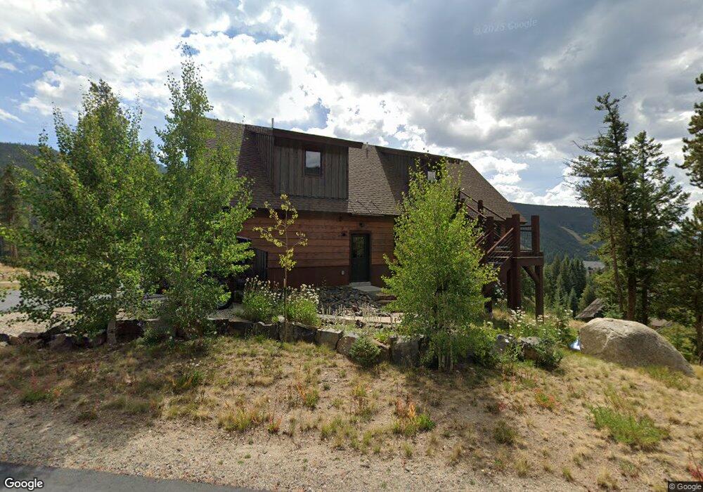
28 N Fork Rd Dillon, CO 80435
Keystone NeighborhoodEstimated Value: $3,199,000 - $4,792,000
4
Beds
5
Baths
2,972
Sq Ft
$1,307/Sq Ft
Est. Value
About This Home
This home is located at 28 N Fork Rd, Dillon, CO 80435 and is currently estimated at $3,885,678, approximately $1,307 per square foot. 28 N Fork Rd is a home with nearby schools including Summit Cove Elementary School, Summit Middle School, and Summit High School.
Ownership History
Date
Name
Owned For
Owner Type
Purchase Details
Closed on
Apr 22, 2025
Sold by
Cleveland Daniel F and Cleveland Martha L
Bought by
Reddog Trust and Coons
Current Estimated Value
Purchase Details
Closed on
Jan 2, 2014
Sold by
I-Red Llc
Bought by
Cleveland Daniel F and Cleveland Martha L
Purchase Details
Closed on
Jun 14, 2013
Sold by
Keystone Lot 2 Llc
Bought by
I-Red Llc
Purchase Details
Closed on
May 1, 2006
Sold by
Wood John B and Rivera Melissa Moir De
Bought by
Keystone Lot 2 Llc
Create a Home Valuation Report for This Property
The Home Valuation Report is an in-depth analysis detailing your home's value as well as a comparison with similar homes in the area
Home Values in the Area
Average Home Value in this Area
Purchase History
| Date | Buyer | Sale Price | Title Company |
|---|---|---|---|
| Reddog Trust | -- | None Listed On Document | |
| Cleveland Daniel F | $330,000 | Title Company Of The Rockies | |
| I-Red Llc | -- | None Available | |
| Keystone Lot 2 Llc | $825,000 | Land Title Guarantee Company |
Source: Public Records
Tax History
| Year | Tax Paid | Tax Assessment Tax Assessment Total Assessment is a certain percentage of the fair market value that is determined by local assessors to be the total taxable value of land and additions on the property. | Land | Improvement |
|---|---|---|---|---|
| 2024 | $12,219 | $229,871 | -- | -- |
| 2023 | $12,219 | $226,185 | $0 | $0 |
| 2022 | $8,064 | $141,127 | $0 | $0 |
| 2021 | $8,134 | $145,188 | $0 | $0 |
| 2020 | $6,494 | $123,833 | $0 | $0 |
| 2019 | $6,405 | $123,833 | $0 | $0 |
| 2018 | $6,301 | $118,048 | $0 | $0 |
| 2017 | $5,763 | $118,048 | $0 | $0 |
| 2016 | $5,692 | $114,844 | $0 | $0 |
| 2015 | $2,661 | $55,427 | $0 | $0 |
| 2014 | $3,143 | $64,636 | $0 | $0 |
| 2013 | -- | $64,636 | $0 | $0 |
Source: Public Records
Map
Nearby Homes
- 20 Hunki Dori Ct Unit 2225
- 20 Hunki Dori Ct Unit 2301
- 20 Hunki Dori Ct Unit 2302
- 20 Hunki Dori Ct Unit 2312
- 20 Hunki Dori Ct Unit 2205
- 53 Hunki Dori Ct Unit 8875
- 53 Hunki Dori Ct Unit 8863
- 58 Hawk Cir Unit 2342
- 140 Ida Belle Dr Unit 8192
- 140 Ida Belle Dr Unit 8310
- 140 Ida Belle Dr Unit 8283
- 140 Ida Belle Dr Unit 8267
- 140 Ida Belle Dr Unit 8188
- 75 Hunki Dori Ct Unit W113
- 75 Hunki Dori Ct Unit W401
- 75 Hunki Dori Ct Unit W403
- 75 Hunki Dori Ct Unit W312
- 75 Hunki Dori Ct Unit E106
- 75 Hunki Dori Ct Unit E107
- 75 Hunki Dori Ct Unit W407
- 263 N Fork Rd
- 38 N Fork Rd
- 110 N Fork Rd
- 29 Stoney Trail
- 48 Winter Ridge Rd
- 31 Winter Ridge Rd
- 16 Arapahoe Trail
- 577 Montezuma Rd
- 505 Montezuma Rd
- 57 Stoney Trail
- 535 Montezuma Rd
- 227 N Fork Rd
- 491 Montezuma Rd
- 633 Montezuma Rd
- 44 Arapahoe Trail
- 044 Arapahoe Trail
- 225 N Fork Rd
- 0 Ida Belle Dr Unit 7493474
- 0 Ida Belle Dr Unit 703214
- 0 Ida Belle Dr Unit 707229
Your Personal Tour Guide
Ask me questions while you tour the home.