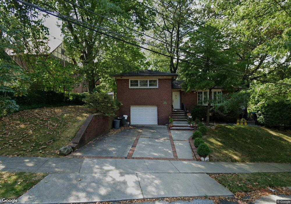
28 N Randall Ave Staten Island, NY 10301
Randall Manor NeighborhoodEstimated Value: $984,000 - $1,055,000
3
Beds
3
Baths
2,534
Sq Ft
$402/Sq Ft
Est. Value
About This Home
This home is located at 28 N Randall Ave, Staten Island, NY 10301 and is currently estimated at $1,018,503, approximately $401 per square foot. 28 N Randall Ave is a home located in Richmond County with nearby schools including P.S. 45 John Tyler, Is 61 William A Morris, and Curtis High School.
Ownership History
Date
Name
Owned For
Owner Type
Purchase Details
Closed on
Dec 23, 2010
Sold by
Goldstein Walter H and Goldstein Ana M
Bought by
Mcgrath William J and Mcgrath Renee
Current Estimated Value
Home Financials for this Owner
Home Financials are based on the most recent Mortgage that was taken out on this home.
Original Mortgage
$325,000
Outstanding Balance
$216,354
Interest Rate
4.37%
Mortgage Type
New Conventional
Estimated Equity
$802,149
Purchase Details
Closed on
Aug 22, 1996
Sold by
Levinson Edith
Bought by
Goldstein Walter H and Goldstein Ana M
Home Financials for this Owner
Home Financials are based on the most recent Mortgage that was taken out on this home.
Original Mortgage
$140,800
Interest Rate
8.18%
Create a Home Valuation Report for This Property
The Home Valuation Report is an in-depth analysis detailing your home's value as well as a comparison with similar homes in the area
Home Values in the Area
Average Home Value in this Area
Purchase History
| Date | Buyer | Sale Price | Title Company |
|---|---|---|---|
| Mcgrath William J | $535,000 | None Available | |
| Goldstein Walter H | $176,000 | -- |
Source: Public Records
Mortgage History
| Date | Status | Borrower | Loan Amount |
|---|---|---|---|
| Open | Mcgrath William J | $325,000 | |
| Previous Owner | Goldstein Walter H | $140,800 |
Source: Public Records
Tax History Compared to Growth
Tax History
| Year | Tax Paid | Tax Assessment Tax Assessment Total Assessment is a certain percentage of the fair market value that is determined by local assessors to be the total taxable value of land and additions on the property. | Land | Improvement |
|---|---|---|---|---|
| 2025 | $7,515 | $66,240 | $10,957 | $55,283 |
| 2024 | $7,527 | $61,920 | $11,058 | $50,862 |
| 2023 | $7,599 | $38,816 | $9,400 | $29,416 |
| 2022 | $7,403 | $63,600 | $17,640 | $45,960 |
| 2021 | $7,345 | $52,740 | $17,640 | $35,100 |
| 2020 | $6,962 | $56,400 | $17,640 | $38,760 |
| 2019 | $6,474 | $53,100 | $17,640 | $35,460 |
| 2018 | $6,296 | $32,347 | $15,119 | $17,228 |
| 2017 | $6,244 | $32,102 | $13,108 | $18,994 |
| 2016 | $5,745 | $30,286 | $12,867 | $17,419 |
| 2015 | $4,868 | $28,573 | $14,147 | $14,426 |
| 2014 | $4,868 | $26,956 | $13,796 | $13,160 |
Source: Public Records
Map
Nearby Homes
- 26 Valencia Ave
- 521 Castleton Ave Unit 2E
- 525 Castleton Ave Unit 1C
- 585 Castleton Ave Unit 1c
- 776 Brighton Ave
- 435 Castleton Ave
- 112 Delafield Ave
- 171 Silver Lake Rd
- 169 Silver Lake Rd
- 414 Castleton Ave
- 72 Gregg Place
- 310 Brighton Ave
- 328 Stanley Ave
- 44 Westbury Ave
- 354 Hoyt Ave
- 260 Brighton Ave
- 215 Hart Blvd Unit 4C
- 215 Hart Blvd Unit 3L
- 4 Brentwood Ave
- 279 Stanley Ave
- 24 Penbroke Ave
- 29 Valencia Ave
- 21 Valencia Ave
- 33 Valencia Ave
- 28 Penbroke Ave
- 6 Pembroke Ave
- 6 Penbroke Ave
- 37 Valencia Ave
- 33 N Randall Ave
- 37 N Randall Ave
- 32 Penbroke Ave
- 41 Valencia Ave
- 21 Penbroke Ave
- 5 Penbroke Ave
- 25 Penbroke Ave
- 45 Valencia Ave
- 43 N Randall Ave
- 40 Penbroke Ave
- 31 Penbroke Ave
- 32 Valencia Ave