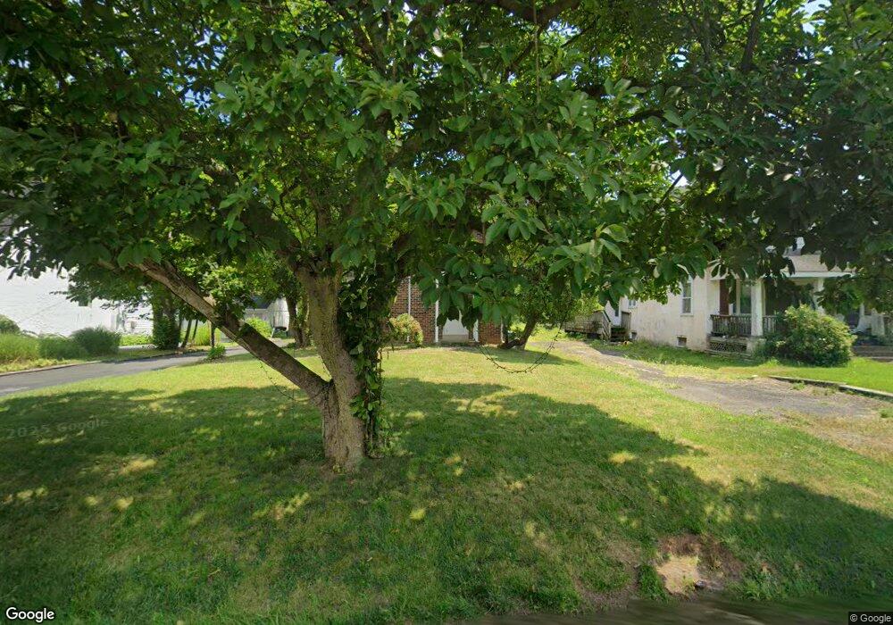
28 N Trooper Rd Norristown, PA 19403
Estimated Value: $317,000 - $388,574
4
Beds
2
Baths
1,450
Sq Ft
$249/Sq Ft
Est. Value
About This Home
This home is located at 28 N Trooper Rd, Norristown, PA 19403 and is currently estimated at $360,394, approximately $248 per square foot. 28 N Trooper Rd is a home located in Montgomery County with nearby schools including Charles Blockson Middle School, Whitehall Elementary School, and East Norriton Middle School.
Ownership History
Date
Name
Owned For
Owner Type
Purchase Details
Closed on
Jan 9, 2011
Bought by
Vereb Laszlo
Current Estimated Value
Home Financials for this Owner
Home Financials are based on the most recent Mortgage that was taken out on this home.
Original Mortgage
$149,861
Interest Rate
4.75%
Mortgage Type
FHA
Purchase Details
Closed on
Aug 25, 2010
Sold by
Nave Ralph and Nave Tanya
Bought by
Deutsche Bank National Trust Company
Create a Home Valuation Report for This Property
The Home Valuation Report is an in-depth analysis detailing your home's value as well as a comparison with similar homes in the area
Home Values in the Area
Average Home Value in this Area
Purchase History
| Date | Buyer | Sale Price | Title Company |
|---|---|---|---|
| Vereb Laszlo | $153,800 | -- | |
| Vereb Laszlo | $153,760 | None Available | |
| Deutsche Bank National Trust Company | $1,555 | None Available |
Source: Public Records
Mortgage History
| Date | Status | Borrower | Loan Amount |
|---|---|---|---|
| Previous Owner | Vereb Laszlo | $149,861 |
Source: Public Records
Tax History Compared to Growth
Tax History
| Year | Tax Paid | Tax Assessment Tax Assessment Total Assessment is a certain percentage of the fair market value that is determined by local assessors to be the total taxable value of land and additions on the property. | Land | Improvement |
|---|---|---|---|---|
| 2025 | $5,132 | $105,030 | $42,800 | $62,230 |
| 2024 | $5,132 | $105,030 | $42,800 | $62,230 |
| 2023 | $5,074 | $105,030 | $42,800 | $62,230 |
| 2022 | $5,041 | $105,030 | $42,800 | $62,230 |
| 2021 | $5,010 | $105,030 | $42,800 | $62,230 |
| 2020 | $4,860 | $105,030 | $42,800 | $62,230 |
| 2019 | $4,752 | $105,030 | $42,800 | $62,230 |
| 2018 | $3,631 | $105,030 | $42,800 | $62,230 |
| 2017 | $4,486 | $105,030 | $42,800 | $62,230 |
| 2016 | $4,445 | $105,030 | $42,800 | $62,230 |
| 2015 | $4,118 | $105,030 | $42,800 | $62,230 |
| 2014 | $4,118 | $105,030 | $42,800 | $62,230 |
Source: Public Records
Map
Nearby Homes
- 24 Wayne Ave
- 136 Markley Farm Cir
- 44 N Barry Ave
- 32 Miami Rd
- 37 Burnside Ave
- 115 Sunnyside Ave
- 301 Winterfall Ave
- 8040 Fair View Ln
- 2055 W Marshall St
- 4021 Killington Ct
- 2044 Mill Rd
- 1332 Statesman Rd
- 2020 Sterigere St
- 636 Hillside Ave
- 520 Deerfield Dr
- 68 Jefferson Ave
- 801 N Park Ave
- 2817 Delta Ln
- 930 Heritage Dr
- 1992 Keswick Way