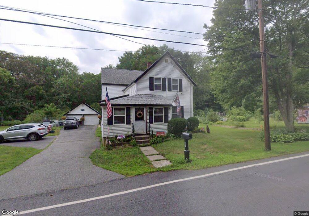
28 Needham St Norfolk, MA 02056
Estimated Value: $573,502 - $882,000
4
Beds
2
Baths
2,133
Sq Ft
$339/Sq Ft
Est. Value
About This Home
This home is located at 28 Needham St, Norfolk, MA 02056 and is currently estimated at $722,126, approximately $338 per square foot. 28 Needham St is a home located in Norfolk County with nearby schools including H. Olive Day School, Freeman-Kennedy School, and Blessed Sacrament School.
Ownership History
Date
Name
Owned For
Owner Type
Purchase Details
Closed on
Sep 12, 1989
Sold by
Deptula Peter A
Bought by
Toothaker Linwood R
Current Estimated Value
Home Financials for this Owner
Home Financials are based on the most recent Mortgage that was taken out on this home.
Original Mortgage
$50,000
Interest Rate
9.71%
Mortgage Type
Purchase Money Mortgage
Create a Home Valuation Report for This Property
The Home Valuation Report is an in-depth analysis detailing your home's value as well as a comparison with similar homes in the area
Home Values in the Area
Average Home Value in this Area
Purchase History
| Date | Buyer | Sale Price | Title Company |
|---|---|---|---|
| Toothaker Linwood R | $50,000 | -- |
Source: Public Records
Mortgage History
| Date | Status | Borrower | Loan Amount |
|---|---|---|---|
| Open | Toothaker Linwood R | $140,000 | |
| Closed | Toothaker Linwood R | $50,000 | |
| Closed | Toothaker Linwood R | $50,000 |
Source: Public Records
Tax History Compared to Growth
Tax History
| Year | Tax Paid | Tax Assessment Tax Assessment Total Assessment is a certain percentage of the fair market value that is determined by local assessors to be the total taxable value of land and additions on the property. | Land | Improvement |
|---|---|---|---|---|
| 2025 | $6,059 | $379,400 | $206,200 | $173,200 |
| 2024 | $5,998 | $385,200 | $212,000 | $173,200 |
| 2023 | $7,622 | $464,500 | $235,500 | $229,000 |
| 2022 | $7,113 | $390,800 | $220,500 | $170,300 |
| 2021 | $7,378 | $410,100 | $214,000 | $196,100 |
| 2020 | $6,904 | $370,400 | $194,900 | $175,500 |
| 2019 | $6,690 | $365,800 | $194,900 | $170,900 |
| 2018 | $6,614 | $355,200 | $194,900 | $160,300 |
| 2017 | $6,519 | $357,800 | $194,900 | $162,900 |
| 2016 | $6,518 | $360,500 | $198,900 | $161,600 |
| 2015 | $6,225 | $352,500 | $187,900 | $164,600 |
| 2014 | $6,188 | $355,000 | $187,900 | $167,100 |
Source: Public Records
Map
Nearby Homes
- 8 Boyde's Crossing
- 8 Boyde's Crossing Unit 4
- 118 Main St
- 3 Elliot Mills Unit 2
- 6 Elliot Mills Unit 31
- 7 Malcolm St
- 45 Meetinghouse Rd Unit 45
- 2 Diamond St
- 12 Brookside Ln
- 7 Keeney Pond Rd
- 6 Trailside Way
- 3 Pheasanthill Rd
- 16 Keeney Pond Rd
- 10 Medway St
- 18 Keeney Pond Rd
- 37 Thomas Mann Cir Unit 23
- 27 Thomas Mann Cir Unit 18
- 51 Thomas Mann Unit 30
- 28 Thomas Mann Cir Unit Lot 38
- 533 Lincoln Rd