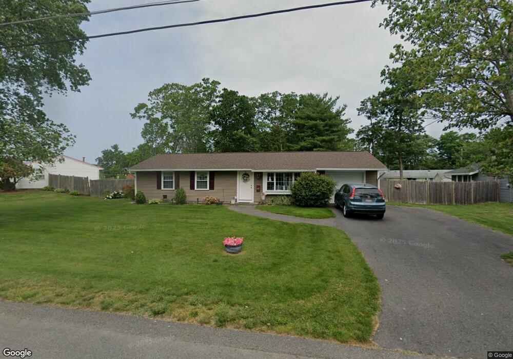
28 Nessralla Dr Brockton, MA 02302
Estimated Value: $454,000 - $476,000
3
Beds
1
Bath
1,008
Sq Ft
$460/Sq Ft
Est. Value
About This Home
This home is located at 28 Nessralla Dr, Brockton, MA 02302 and is currently estimated at $463,797, approximately $460 per square foot. 28 Nessralla Dr is a home located in Plymouth County with nearby schools including Davis K-8 School, John F. Kennedy Elementary School, and South Middle School.
Create a Home Valuation Report for This Property
The Home Valuation Report is an in-depth analysis detailing your home's value as well as a comparison with similar homes in the area
Home Values in the Area
Average Home Value in this Area
Tax History Compared to Growth
Tax History
| Year | Tax Paid | Tax Assessment Tax Assessment Total Assessment is a certain percentage of the fair market value that is determined by local assessors to be the total taxable value of land and additions on the property. | Land | Improvement |
|---|---|---|---|---|
| 2025 | $4,500 | $371,600 | $161,100 | $210,500 |
| 2024 | $4,438 | $369,200 | $161,100 | $208,100 |
| 2023 | $4,215 | $324,700 | $111,400 | $213,300 |
| 2022 | $4,125 | $295,300 | $101,300 | $194,000 |
| 2021 | $3,864 | $266,500 | $94,300 | $172,200 |
| 2020 | $3,953 | $260,900 | $82,600 | $178,300 |
| 2019 | $3,473 | $223,500 | $79,000 | $144,500 |
| 2018 | $3,419 | $212,900 | $79,000 | $133,900 |
| 2017 | $2,845 | $176,700 | $79,000 | $97,700 |
| 2016 | $3,069 | $176,800 | $75,300 | $101,500 |
| 2015 | $2,842 | $156,600 | $75,300 | $81,300 |
| 2014 | $2,801 | $154,500 | $75,300 | $79,200 |
Source: Public Records
Map
Nearby Homes
- 20 Nessralla Dr
- 36 Nessralla Dr
- 15 Hopkins Rd
- 7 Hopkins Rd
- 31 Nessralla Dr
- 23 Nessralla Dr
- 10 Nessralla Dr
- 44 Nessralla Dr
- 39 Nessralla Dr
- 21 Hopkins Rd
- 15 Nessralla Dr
- 188 Southfield Dr
- 196 Southfield Dr
- 47 Nessralla Dr
- 432 East St
- 452 East St
- 180 Southfield Dr
- 52 Nessralla Dr
- 10 Hopkins Rd
- 204 Southfield Dr