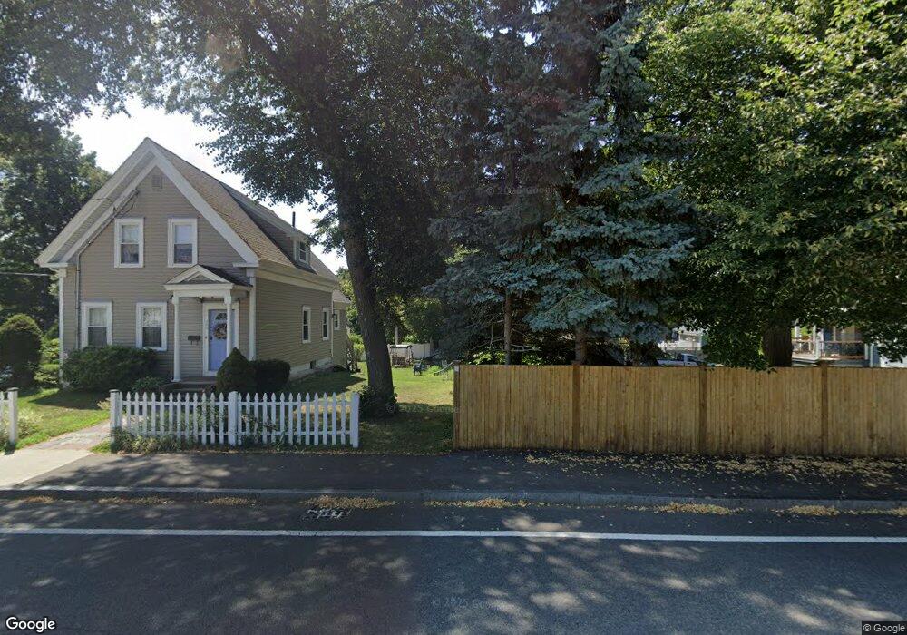
28 Newton Ct North Weymouth, MA 02191
North Weymouth NeighborhoodEstimated Value: $547,000 - $635,000
3
Beds
1
Bath
1,380
Sq Ft
$424/Sq Ft
Est. Value
About This Home
This home is located at 28 Newton Ct, North Weymouth, MA 02191 and is currently estimated at $584,481, approximately $423 per square foot. 28 Newton Ct is a home located in Norfolk County with nearby schools including Wessagusset Elementary School, Abigail Adams Middle School, and Weymouth Middle School Chapman.
Ownership History
Date
Name
Owned For
Owner Type
Purchase Details
Closed on
Nov 30, 1993
Sold by
Mortali Robert A Est
Bought by
Menchin Warren E and Menchin Helen K
Current Estimated Value
Home Financials for this Owner
Home Financials are based on the most recent Mortgage that was taken out on this home.
Original Mortgage
$89,000
Interest Rate
6.69%
Create a Home Valuation Report for This Property
The Home Valuation Report is an in-depth analysis detailing your home's value as well as a comparison with similar homes in the area
Home Values in the Area
Average Home Value in this Area
Purchase History
| Date | Buyer | Sale Price | Title Company |
|---|---|---|---|
| Menchin Warren E | $99,000 | -- |
Source: Public Records
Mortgage History
| Date | Status | Borrower | Loan Amount |
|---|---|---|---|
| Closed | Menchin Warren E | $89,000 | |
| Closed | Menchin Warren E | $99,000 | |
| Previous Owner | Menchin Warren E | $56,000 |
Source: Public Records
Tax History Compared to Growth
Tax History
| Year | Tax Paid | Tax Assessment Tax Assessment Total Assessment is a certain percentage of the fair market value that is determined by local assessors to be the total taxable value of land and additions on the property. | Land | Improvement |
|---|---|---|---|---|
| 2025 | $4,642 | $459,600 | $214,100 | $245,500 |
| 2024 | $4,495 | $437,700 | $203,900 | $233,800 |
| 2023 | $4,336 | $414,900 | $188,800 | $226,100 |
| 2022 | $4,239 | $369,900 | $174,800 | $195,100 |
| 2021 | $3,905 | $332,600 | $174,800 | $157,800 |
| 2020 | $3,726 | $312,600 | $174,800 | $137,800 |
| 2019 | $3,637 | $300,100 | $168,100 | $132,000 |
| 2018 | $3,530 | $282,400 | $160,100 | $122,300 |
| 2017 | $3,292 | $257,000 | $145,600 | $111,400 |
| 2016 | $3,164 | $247,200 | $140,000 | $107,200 |
| 2015 | $2,979 | $230,900 | $133,300 | $97,600 |
| 2014 | $2,854 | $214,600 | $124,100 | $90,500 |
Source: Public Records
Map
Nearby Homes
- 55 Blackstone Rd
- 137 Wessagussett Rd
- 41 Pecksuot Rd
- 14 Crescent Rd
- 104 Kings Cove Beach Rd
- 65 Saning Rd
- 79 Bicknell St
- 59 Katherine St
- 320 Green St
- 70 Biscayne Ave
- 62 Lawn Ave
- 109 Merryknoll Rd
- 43 Flint Locke Dr
- 129 Audubon Ave
- 16 Caldwell St
- 38 Idlewell St
- 669 Commercial St
- 107 Spring St
- 15 1st St
- 20 Richards Rd