28 Nobles Way Gorham, ME 04038
Estimated Value: $598,000 - $735,000
3
Beds
2
Baths
1,985
Sq Ft
$337/Sq Ft
Est. Value
About This Home
This home is located at 28 Nobles Way, Gorham, ME 04038 and is currently estimated at $668,932, approximately $336 per square foot. 28 Nobles Way is a home located in Cumberland County with nearby schools including Village Elementary School and Gorham High School.
Ownership History
Date
Name
Owned For
Owner Type
Purchase Details
Closed on
Mar 26, 2009
Sold by
Theriault Paul D and Theriault Joyce B
Bought by
Theriault Mark P
Current Estimated Value
Home Financials for this Owner
Home Financials are based on the most recent Mortgage that was taken out on this home.
Original Mortgage
$306,000
Outstanding Balance
$201,195
Interest Rate
5.02%
Mortgage Type
Unknown
Estimated Equity
$467,737
Create a Home Valuation Report for This Property
The Home Valuation Report is an in-depth analysis detailing your home's value as well as a comparison with similar homes in the area
Home Values in the Area
Average Home Value in this Area
Purchase History
| Date | Buyer | Sale Price | Title Company |
|---|---|---|---|
| Theriault Mark P | -- | -- |
Source: Public Records
Mortgage History
| Date | Status | Borrower | Loan Amount |
|---|---|---|---|
| Open | Theriault Mark P | $306,000 |
Source: Public Records
Tax History Compared to Growth
Tax History
| Year | Tax Paid | Tax Assessment Tax Assessment Total Assessment is a certain percentage of the fair market value that is determined by local assessors to be the total taxable value of land and additions on the property. | Land | Improvement |
|---|---|---|---|---|
| 2024 | $7,834 | $532,900 | $80,200 | $452,700 |
| 2023 | $7,327 | $532,900 | $80,200 | $452,700 |
| 2022 | $6,848 | $532,900 | $80,200 | $452,700 |
| 2021 | $6,167 | $317,900 | $68,500 | $249,400 |
| 2020 | $6,040 | $317,900 | $68,500 | $249,400 |
| 2019 | $6,024 | $317,900 | $68,500 | $249,400 |
| 2018 | $5,786 | $317,900 | $68,500 | $249,400 |
| 2017 | $5,436 | $317,900 | $68,500 | $249,400 |
| 2016 | $5,404 | $317,900 | $68,500 | $249,400 |
| 2015 | $5,182 | $317,900 | $68,500 | $249,400 |
| 2014 | $4,909 | $282,100 | $62,400 | $219,700 |
| 2013 | $4,880 | $282,100 | $62,400 | $219,700 |
Source: Public Records
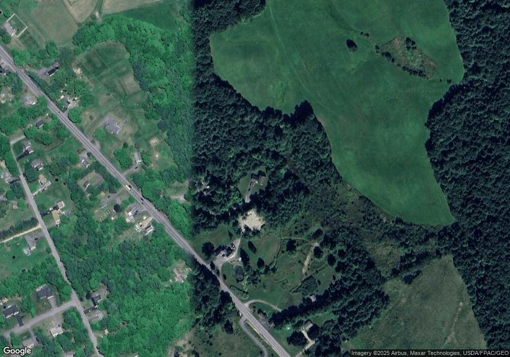
Map
Nearby Homes
- 35 Rust Rd
- 00 Ossipee Trail E
- 22 Finn Parker Rd
- 21 Alexander Dr
- 12 Richard Rd
- 3 Oliver Ln
- 127 Falcon Crest Dr Unit 4
- 114 Narragansett St
- 8 Wolf River Run
- 117 School St
- Lot A Martin Dr
- 181 Falcon Crest Dr Unit 27
- TBD Fort Hill Rd
- 183 Falcon Crest Dr Unit 28
- 180 Falcon Crest Dr Unit 55
- 182 Falcon Crest Dr Unit 56
- 185 Falcon Crest Dr Unit 29
- 187 Falcon Crest Dr Unit 30
- 186 Falcon Crest Dr Unit 57
- 189 Falcon Crest Dr Unit 31
- 12 Nobles Way
- 8 Nobles Way
- 147 Ossipee Trail
- 139 Ossipee Trail
- 141 Ossipee Trail
- 158 Ossipee Trail
- 162 Ossipee Trail
- 161 Ossipee Trail E
- 4 Wildlife Dr
- 164 Ossipee Trail
- 165 Ossipee Trail
- 168 Ossipee Trail
- 25,28,29 Wildlife Dr
- 170 Ossipee Trail
- 1 Wildlife Dr
- 174 Ossipee Trail
- 12 Joe Jones Way
- 40 Clay Rd
- 42 Clay Rd
- 169 Ossipee Trail