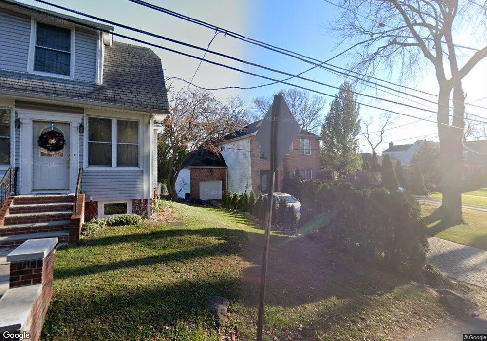
28 Ocean Rd Staten Island, NY 10308
Great Kills NeighborhoodEstimated Value: $1,223,000 - $1,306,000
--
Bed
4
Baths
3,000
Sq Ft
$425/Sq Ft
Est. Value
About This Home
This home is located at 28 Ocean Rd, Staten Island, NY 10308 and is currently estimated at $1,273,596, approximately $424 per square foot. 28 Ocean Rd is a home located in Richmond County with nearby schools including P.S. 8 Shirlee Solomon, Myra S. Barnes Intermediate School 24, and New Dorp High School.
Ownership History
Date
Name
Owned For
Owner Type
Purchase Details
Closed on
Jul 18, 1997
Sold by
Thornton James F
Bought by
Priola Charles and Priola Elyse
Current Estimated Value
Home Financials for this Owner
Home Financials are based on the most recent Mortgage that was taken out on this home.
Original Mortgage
$169,000
Outstanding Balance
$24,218
Interest Rate
7.5%
Estimated Equity
$1,249,378
Create a Home Valuation Report for This Property
The Home Valuation Report is an in-depth analysis detailing your home's value as well as a comparison with similar homes in the area
Home Values in the Area
Average Home Value in this Area
Purchase History
| Date | Buyer | Sale Price | Title Company |
|---|---|---|---|
| Priola Charles | $229,000 | -- |
Source: Public Records
Mortgage History
| Date | Status | Borrower | Loan Amount |
|---|---|---|---|
| Open | Priola Charles | $169,000 |
Source: Public Records
Tax History Compared to Growth
Tax History
| Year | Tax Paid | Tax Assessment Tax Assessment Total Assessment is a certain percentage of the fair market value that is determined by local assessors to be the total taxable value of land and additions on the property. | Land | Improvement |
|---|---|---|---|---|
| 2025 | $8,586 | $96,660 | $10,225 | $86,435 |
| 2024 | $8,598 | $79,680 | $11,702 | $67,978 |
| 2023 | $8,682 | $44,150 | $10,868 | $33,282 |
| 2022 | $8,460 | $69,900 | $21,120 | $48,780 |
| 2021 | $8,397 | $62,760 | $21,120 | $41,640 |
| 2020 | $7,959 | $63,720 | $21,120 | $42,600 |
| 2019 | $7,404 | $67,680 | $21,120 | $46,560 |
| 2018 | $7,202 | $36,792 | $16,148 | $20,644 |
| 2017 | $7,144 | $36,514 | $17,183 | $19,331 |
| 2016 | $6,577 | $34,448 | $17,753 | $16,695 |
| 2015 | $5,579 | $32,499 | $15,534 | $16,965 |
| 2014 | $5,579 | $30,660 | $17,580 | $13,080 |
Source: Public Records
Map
Nearby Homes
- 7 Cottage Ave
- 177 Hillside Terrace
- 289 Maybury Ave
- 76 Whitman Ave
- 23 Melrose Place
- 142 Great Kills Rd Unit A
- 0 Dent Rd
- 51 Yacht Club Cove Unit 51
- 51 Yacht Club Cove St Unit 51
- 71 Grandview Terrace
- 21 Coral Ct
- 16 Florence St
- 309 Cleveland Ave
- 14 Yacht Club Cove St Unit 14
- 45 Fairlawn Loop
- 346 Cleveland Ave
- 7 Trent St
- 5 Osprey Ct
- 268 Nelson Ave
- 3747 Amboy Rd Unit 6b
- 22 Ocean Rd
- 34 Ocean Rd
- 252 Great Kills Rd
- 256 Great Kills Rd
- 18 Ocean Rd
- 258 Great Kills Rd
- 0 Ocean Rd
- 12 Ocean Rd
- 262 Great Kills Rd
- 35 Ocean Rd
- 9 Cottage Ave
- 11 Cottage Ave
- 15 Cottage Ave
- 29 Ocean Rd
- 270 Great Kills Rd
- 45 Ocean Rd
- 223 Hillside Terrace
- 6 Ocean Rd
- 217 Hillside Terrace
- 17 Cottage Ave