28 Old Kings Hwy Ogunquit, ME 03907
Ogunquit NeighborhoodEstimated Value: $1,265,218 - $1,669,000
4
Beds
4
Baths
3,948
Sq Ft
$380/Sq Ft
Est. Value
About This Home
This home is located at 28 Old Kings Hwy, Ogunquit, ME 03907 and is currently estimated at $1,500,805, approximately $380 per square foot. 28 Old Kings Hwy is a home located in York County with nearby schools including Wells Junior High School, Wells Elementary School, and Wells High School.
Ownership History
Date
Name
Owned For
Owner Type
Purchase Details
Closed on
Aug 2, 2005
Sold by
Phillips Antoinette M and Obrien Robert J
Bought by
Knight Joseph and Chittenden Steven
Current Estimated Value
Home Financials for this Owner
Home Financials are based on the most recent Mortgage that was taken out on this home.
Original Mortgage
$540,000
Outstanding Balance
$286,254
Interest Rate
6%
Mortgage Type
Adjustable Rate Mortgage/ARM
Estimated Equity
$1,214,551
Create a Home Valuation Report for This Property
The Home Valuation Report is an in-depth analysis detailing your home's value as well as a comparison with similar homes in the area
Home Values in the Area
Average Home Value in this Area
Purchase History
| Date | Buyer | Sale Price | Title Company |
|---|---|---|---|
| Knight Joseph | -- | -- |
Source: Public Records
Mortgage History
| Date | Status | Borrower | Loan Amount |
|---|---|---|---|
| Open | Knight Joseph | $540,000 | |
| Closed | Knight Joseph | $67,500 |
Source: Public Records
Tax History
| Year | Tax Paid | Tax Assessment Tax Assessment Total Assessment is a certain percentage of the fair market value that is determined by local assessors to be the total taxable value of land and additions on the property. | Land | Improvement |
|---|---|---|---|---|
| 2024 | $6,373 | $986,600 | $315,600 | $671,000 |
| 2023 | $6,373 | $986,600 | $315,600 | $671,000 |
| 2022 | $6,235 | $986,600 | $315,600 | $671,000 |
| 2021 | $5,908 | $725,800 | $139,800 | $586,000 |
| 2020 | $5,806 | $725,800 | $139,800 | $586,000 |
| 2019 | $5,806 | $725,800 | $139,800 | $586,000 |
| 2018 | $5,741 | $725,800 | $139,800 | $586,000 |
| 2017 | $5,502 | $725,800 | $139,800 | $586,000 |
| 2016 | $6,392 | $790,100 | $227,200 | $562,900 |
| 2015 | $6,376 | $790,100 | $227,200 | $562,900 |
| 2014 | $5,825 | $750,700 | $227,200 | $523,500 |
Source: Public Records
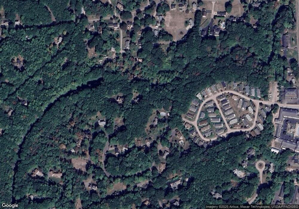
Map
Nearby Homes
- 31 Rebecca Rd
- 22 Adams Ln
- 76 Post Rd Unit 21M
- 191 Tatnic Rd Unit 73
- 9 Bourne Ave Unit B6
- 488 Main St Unit 7
- 1 Old County Rd Unit 165
- 1 Old County Rd Unit 155
- 168 Ocean Ave
- 14 Valleybrook Rd Unit 14
- 47 Village Green Dr
- 25 Shore Rd Unit A
- 20 Shore Rd Unit 2A,B,C,D
- 412 Post Rd Unit 304
- 412 Post Rd Unit 145
- 430 Post Rd Unit 320
- 430 Post Rd Unit 181
- 430 Post Rd Unit 256
- 430 Post Rd Unit 177
- 430 Post Rd Unit 40
- 28 Old King Hwy
- 42 Old King Hwy
- 24 Old King Hwy
- 24 Old Kings Hwy
- 46 Old Kings Hwy
- 46 Old Kings Hwy
- 18 Old King Hwy
- 18 Old Kings Hwy
- 25 Old Kings Hwy
- 56 Old King Hwy
- 53 Ocean Heights Ln
- 17 Off King's Highway Captain T
- 20-29 Old Kings Hwy
- 10 Old King Hwy
- 58 Brookside Cir
- 61 Ocean Heights Ln
- 14 Rebecca Ln
- 56 Kings Hwy
- 60 Brookside Cir
- 58 Captain Thomas Rd
Your Personal Tour Guide
Ask me questions while you tour the home.