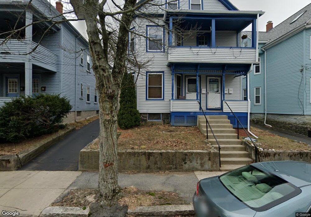
28 Orchard St Unit 3 Medford, MA 02155
Medford Hillside NeighborhoodEstimated Value: $495,275 - $633,000
1
Bed
1
Bath
975
Sq Ft
$551/Sq Ft
Est. Value
About This Home
This home is located at 28 Orchard St Unit 3, Medford, MA 02155 and is currently estimated at $537,319, approximately $551 per square foot. 28 Orchard St Unit 3 is a home located in Middlesex County with nearby schools including Medford High School, St. Joseph School, and St. Clement Elementary School.
Ownership History
Date
Name
Owned For
Owner Type
Purchase Details
Closed on
Jul 18, 2014
Sold by
Est Agliata Domenica and Inserra Anna
Bought by
Spring Street Rt and Resnick Marc S
Current Estimated Value
Home Financials for this Owner
Home Financials are based on the most recent Mortgage that was taken out on this home.
Original Mortgage
$850,000
Outstanding Balance
$646,961
Interest Rate
4.14%
Mortgage Type
Purchase Money Mortgage
Estimated Equity
-$109,642
Create a Home Valuation Report for This Property
The Home Valuation Report is an in-depth analysis detailing your home's value as well as a comparison with similar homes in the area
Home Values in the Area
Average Home Value in this Area
Purchase History
| Date | Buyer | Sale Price | Title Company |
|---|---|---|---|
| Spring Street Rt | $800,000 | -- |
Source: Public Records
Mortgage History
| Date | Status | Borrower | Loan Amount |
|---|---|---|---|
| Open | Spring Street Rt | $850,000 |
Source: Public Records
Tax History Compared to Growth
Tax History
| Year | Tax Paid | Tax Assessment Tax Assessment Total Assessment is a certain percentage of the fair market value that is determined by local assessors to be the total taxable value of land and additions on the property. | Land | Improvement |
|---|---|---|---|---|
| 2025 | $3,533 | $401,500 | $0 | $401,500 |
| 2024 | $3,348 | $393,000 | $0 | $393,000 |
| 2023 | $3,293 | $380,700 | $0 | $380,700 |
| 2022 | $3,304 | $366,700 | $0 | $366,700 |
| 2021 | $3,378 | $359,000 | $0 | $359,000 |
| 2020 | $3,296 | $359,000 | $0 | $359,000 |
| 2019 | $3,372 | $351,300 | $0 | $351,300 |
| 2018 | $3,241 | $316,500 | $0 | $316,500 |
| 2017 | $3,342 | $316,500 | $0 | $316,500 |
| 2016 | $3,240 | $289,500 | $0 | $289,500 |
| 2015 | $3,270 | $279,500 | $0 | $279,500 |
Source: Public Records
Map
Nearby Homes
- 47 Marshall St
- 76 Orchard St
- 85 Marshall St
- 130 Auburn St
- 16 Hamilton Rd
- 33 Hamilton St
- 122 Burget Ave
- 8 Curtis St
- 9 Woods Ave
- 31 Fairfax St
- 22 Wedgemere Rd
- 87 College Ave
- 21 High St
- 54 South St Unit 1
- 54 South St
- 54 South St Unit 5
- 54 South St Unit 4
- 69 Sterling St
- 33 Conwell Ave
- 395 Alewife Brook Pkwy Unit 2C
- 30 Orchard St
- 28 Orchard St Unit 1
- 30 Orchard St Unit 2
- 32 Orchard St
- 32 Orchard St Unit 2
- 26 Orchard St
- 26 Orchard St Unit 2
- 34 Orchard St
- 34 Orchard St Unit 2
- 22A Orchard St Unit A
- 22 Orchard St Unit B
- 22 Orchard St Unit A
- 22 Orchard St Unit 2
- 22A Orchard St Unit 1
- 22 Orchard St
- 27 Orchard St
- 31 Orchard St
- 33 Orchard St
- 25 Orchard St
- 36 Orchard St Unit 2