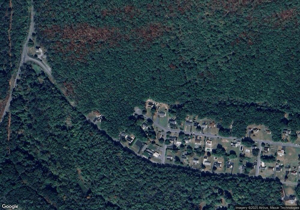
28 Paul St Ashland, PA 17921
Estimated Value: $251,157 - $310,000
3
Beds
2
Baths
1,902
Sq Ft
$148/Sq Ft
Est. Value
About This Home
This home is located at 28 Paul St, Ashland, PA 17921 and is currently estimated at $281,289, approximately $147 per square foot. 28 Paul St is a home located in Schuylkill County with nearby schools including North Schuylkill Elementary School and North Schuylkill Junior/Senior High School.
Ownership History
Date
Name
Owned For
Owner Type
Purchase Details
Closed on
Jul 26, 2006
Sold by
Beaulieu Donald J
Bought by
Urbon Todd and Urbon Irene M
Current Estimated Value
Home Financials for this Owner
Home Financials are based on the most recent Mortgage that was taken out on this home.
Original Mortgage
$92,000
Outstanding Balance
$54,965
Interest Rate
6.67%
Mortgage Type
New Conventional
Estimated Equity
$226,324
Create a Home Valuation Report for This Property
The Home Valuation Report is an in-depth analysis detailing your home's value as well as a comparison with similar homes in the area
Home Values in the Area
Average Home Value in this Area
Purchase History
| Date | Buyer | Sale Price | Title Company |
|---|---|---|---|
| Urbon Todd | $115,000 | None Available |
Source: Public Records
Mortgage History
| Date | Status | Borrower | Loan Amount |
|---|---|---|---|
| Open | Urbon Todd | $92,000 |
Source: Public Records
Tax History Compared to Growth
Tax History
| Year | Tax Paid | Tax Assessment Tax Assessment Total Assessment is a certain percentage of the fair market value that is determined by local assessors to be the total taxable value of land and additions on the property. | Land | Improvement |
|---|---|---|---|---|
| 2025 | $3,647 | $46,955 | $6,895 | $40,060 |
| 2024 | $3,418 | $46,955 | $6,895 | $40,060 |
| 2023 | $3,418 | $46,955 | $6,895 | $40,060 |
| 2022 | $3,342 | $46,955 | $6,895 | $40,060 |
| 2021 | $3,300 | $46,955 | $6,895 | $40,060 |
| 2020 | $3,238 | $46,955 | $6,895 | $40,060 |
| 2018 | $3,127 | $46,955 | $6,895 | $40,060 |
| 2017 | $3,047 | $46,955 | $6,895 | $40,060 |
| 2015 | -- | $46,955 | $6,895 | $40,060 |
| 2011 | -- | $46,955 | $0 | $0 |
Source: Public Records
Map
Nearby Homes