28 Peninsula Rd Decatur Island, WA 98221
Estimated Value: $720,000 - $1,568,000
3
Beds
2
Baths
2,090
Sq Ft
$576/Sq Ft
Est. Value
About This Home
This home is located at 28 Peninsula Rd, Decatur Island, WA 98221 and is currently estimated at $1,204,279, approximately $576 per square foot. 28 Peninsula Rd is a home with nearby schools including Decatur Elementary School and Lopez Middle High School.
Ownership History
Date
Name
Owned For
Owner Type
Purchase Details
Closed on
Dec 27, 2020
Sold by
Revere Mark
Bought by
Krisinger Greg and Krisinger Angela
Current Estimated Value
Home Financials for this Owner
Home Financials are based on the most recent Mortgage that was taken out on this home.
Original Mortgage
$250,000
Outstanding Balance
$223,087
Interest Rate
2.7%
Mortgage Type
New Conventional
Estimated Equity
$981,192
Purchase Details
Closed on
Apr 16, 2019
Sold by
Revere Mark and Revere Sally
Bought by
Revere Mark and Revere Sally
Create a Home Valuation Report for This Property
The Home Valuation Report is an in-depth analysis detailing your home's value as well as a comparison with similar homes in the area
Home Values in the Area
Average Home Value in this Area
Purchase History
| Date | Buyer | Sale Price | Title Company |
|---|---|---|---|
| Krisinger Greg | $350,000 | Chicago Title Bellingham | |
| Revere Mark | -- | None Available |
Source: Public Records
Mortgage History
| Date | Status | Borrower | Loan Amount |
|---|---|---|---|
| Open | Krisinger Greg | $250,000 |
Source: Public Records
Tax History Compared to Growth
Tax History
| Year | Tax Paid | Tax Assessment Tax Assessment Total Assessment is a certain percentage of the fair market value that is determined by local assessors to be the total taxable value of land and additions on the property. | Land | Improvement |
|---|---|---|---|---|
| 2024 | $4,022 | $1,051,650 | $344,800 | $706,850 |
| 2023 | $4,022 | $976,840 | $272,960 | $703,880 |
| 2022 | $5,142 | $1,123,650 | $287,330 | $836,320 |
| 2021 | $3,670 | $743,450 | $221,020 | $522,430 |
| 2020 | $3,685 | $641,740 | $221,020 | $420,720 |
| 2019 | $3,057 | $654,630 | $221,020 | $433,610 |
| 2018 | $3,543 | $873,420 | $547,220 | $326,200 |
| 2017 | $3,329 | $573,740 | $221,020 | $352,720 |
| 2016 | $3,300 | $598,500 | $232,650 | $365,850 |
| 2015 | $3,300 | $615,440 | $232,650 | $382,790 |
| 2014 | $3,300 | $608,640 | $211,500 | $397,140 |
| 2012 | $3,300 | $582,190 | $235,000 | $347,190 |
Source: Public Records
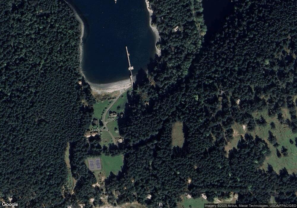
Map
Nearby Homes
- 68 Sylvan Cove Rd W
- 0 EC-19 E Cove Rd
- 177 Harmon Ranch Hill Rd
- 707 NW Thatcher Pass Rd
- 155 Airport Perimeter Way
- 641 Decatur Head Dr
- 497 Chinook Way
- 205 Makah St
- 44 Lopez Way
- 0 Lot 3 Decatur Beach Ln
- 0 Thatcher Pass Rd Unit NWM2368848
- 135 Chinook Way
- 863 Chinook Way
- 0 Davis Beach Rd Unit NWM2393172
- 1354 Chinook Way
- 1026 Chinook Way
- 346 Thatcher Pass Rd
- 473 Wishkah Ln
- 1372 Bakerview Rd
- 146 E Meadow Ln
- 114 Sylvan Cove Rd
- 120 Sylvan Cove Rd
- 96 Sylvan Cove Rd
- 166 Sylvan Cove Rd
- 46 Sylvan Cove Rd
- 48 Sylvan Cove Rd
- 47 Sylvan Cove Rd
- 68 Sylvan Cove Rd
- 253 Lake Rd
- 101 Westridge Rd
- 214 Westridge Rd
- 35 Westridge Rd
- 1 E Cove Rd
- 112 Westridge Rd
- 51 E Cove Rd
- 0 E Cove Rd Unit 1440913
- 63 S Beach Rd
- 45 S Beach Rd
- 74 Brigantine Bay Rd
- 187 Westridge Rd