28 Penn Forest Dr Albrightsville, PA 18210
Estimated Value: $296,000 - $302,000
3
Beds
2
Baths
1,404
Sq Ft
$213/Sq Ft
Est. Value
About This Home
This home is located at 28 Penn Forest Dr, Albrightsville, PA 18210 and is currently estimated at $298,877, approximately $212 per square foot. 28 Penn Forest Dr is a home located in Carbon County with nearby schools including Jim Thorpe Area High School.
Ownership History
Date
Name
Owned For
Owner Type
Purchase Details
Closed on
Jan 27, 2022
Sold by
Demins Family Estates Llc
Bought by
Three Sisters Investors Ii Llc
Current Estimated Value
Home Financials for this Owner
Home Financials are based on the most recent Mortgage that was taken out on this home.
Original Mortgage
$195,000
Outstanding Balance
$180,852
Interest Rate
3.45%
Mortgage Type
New Conventional
Estimated Equity
$118,025
Purchase Details
Closed on
Dec 6, 2018
Sold by
Wells Fargo Bank Na
Bought by
Demins Family Estates Llc
Purchase Details
Closed on
Nov 7, 2018
Sold by
Masi Ralph J and Masi Francis E
Bought by
Wells Fargo Bank Na
Purchase Details
Closed on
Jan 27, 2004
Bought by
Masi Ralph J and Masi Frances E
Create a Home Valuation Report for This Property
The Home Valuation Report is an in-depth analysis detailing your home's value as well as a comparison with similar homes in the area
Home Values in the Area
Average Home Value in this Area
Purchase History
| Date | Buyer | Sale Price | Title Company |
|---|---|---|---|
| Three Sisters Investors Ii Llc | $250,008 | Apex Abstract | |
| Demins Family Estates Llc | $93,666 | Servicelink | |
| Wells Fargo Bank Na | $978 | None Available | |
| Masi Ralph J | $154,000 | -- |
Source: Public Records
Mortgage History
| Date | Status | Borrower | Loan Amount |
|---|---|---|---|
| Open | Three Sisters Investors Ii Llc | $195,000 |
Source: Public Records
Tax History Compared to Growth
Tax History
| Year | Tax Paid | Tax Assessment Tax Assessment Total Assessment is a certain percentage of the fair market value that is determined by local assessors to be the total taxable value of land and additions on the property. | Land | Improvement |
|---|---|---|---|---|
| 2025 | $4,712 | $76,600 | $3,950 | $72,650 |
| 2024 | $4,483 | $76,600 | $3,950 | $72,650 |
| 2023 | $4,425 | $76,600 | $3,950 | $72,650 |
| 2022 | $4,425 | $76,600 | $3,950 | $72,650 |
| 2021 | $4,425 | $76,600 | $3,950 | $72,650 |
| 2020 | $4,425 | $76,600 | $3,950 | $72,650 |
| 2019 | $4,272 | $76,600 | $3,950 | $72,650 |
| 2018 | $4,272 | $76,600 | $3,950 | $72,650 |
| 2017 | $4,272 | $76,600 | $3,950 | $72,650 |
| 2016 | -- | $76,600 | $3,950 | $72,650 |
| 2015 | -- | $76,600 | $3,950 | $72,650 |
| 2014 | -- | $76,600 | $3,950 | $72,650 |
Source: Public Records
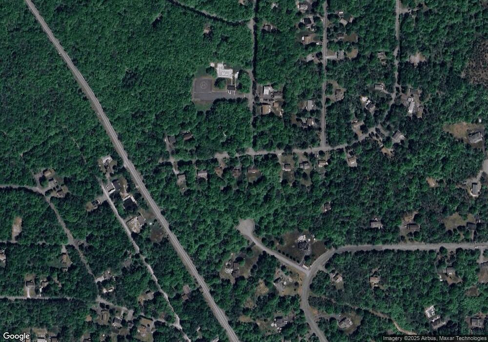
Map
Nearby Homes
- 28 Penn Forest Trail
- EV1087 Petrarch Trail
- EV1126 Petrarch Trail
- 158 Petrarch Trail
- 152 Chapman Cir
- 126 Petrarch Trail
- 769 Stony Mountain Rd
- D2040 Stony Mountain Rd
- 1369 Stony Mountain Rd
- 993 Stony Mountain Rd
- EV1300 Lipo Way
- 114 Petrarch Trail
- 1195 Chapman Cir
- EV1195 Chapman Cir
- 0 Way Unit PACC2005530
- 38 Parker Trail
- 201 Chapman Cir
- 0 Parker Mew
- 187 MacCauley Rd
- 141 Caedman Dr
- 32 Penn Forest Trail
- 147 Chapman Cir
- 1115 Petrarch Trail
- 0 Petrarch Trail Unit 7-243
- 0 Petrarch Trail Unit 5-1039
- 0 Petrarch Trail Unit 6-5373
- 0 Petrarch Trail Unit 6-789
- 0 Petrarch Trail Unit PM-121409
- 0 Petrarch Trail Unit PACC2005412
- 0 Petrarch Trail Unit 748892
- 0 Petrarch Trail Unit 739843
- Lot EV1094 Petrarch Trail
- EV1100 Petrarch Trail
- Lot EV1145 Petrarch Trail
- Lot 22 Petrarch Trail
- EV1115 Petrarch Trail
- Lot EV1132 Petrarch Trail
- lot 1073 Petrarch Trail
- EV1060 Petrarch Trail
- EV821 Petrarch Trail