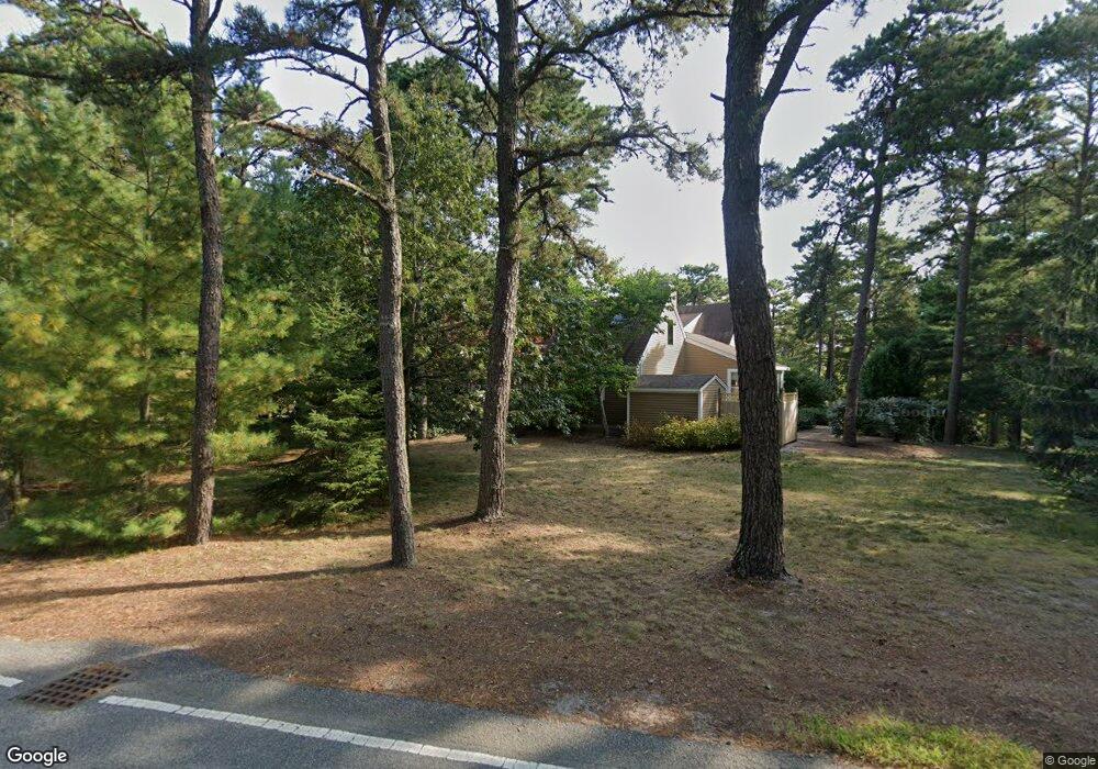
28 Point Isabella Rd Cotuit, MA 02635
Cotuit NeighborhoodEstimated Value: $1,371,891 - $1,527,000
About This Home
This home is located at 28 Point Isabella Rd, Cotuit, MA 02635 and is currently estimated at $1,422,973, approximately $597 per square foot. 28 Point Isabella Rd is a home located in Barnstable County with nearby schools including West Villages Elementary School, Barnstable United Elementary School, and Barnstable Intermediate School.
Ownership History
We collect this data history from publicly available records. To have your information removed, we recommend requesting removal directly through your county’s website.
Purchase Details
Home Financials for this Owner
Home Financials are based on the most recent Mortgage that was taken out on this home.Purchase Details
Home Financials for this Owner
Home Financials are based on the most recent Mortgage that was taken out on this home.Purchase Details
Home Financials for this Owner
Home Financials are based on the most recent Mortgage that was taken out on this home.Home Values in the Area
Average Home Value in this Area
Purchase History
We collect this data history from publicly available records. To have your information removed, we recommend requesting removal directly through your county’s website.
| Date | Buyer | Sale Price | Title Company |
|---|---|---|---|
| -- | -- | ||
| -- | -- | ||
| $275,000 | -- |
Mortgage History
We collect this data history from publicly available records. To have your information removed, we recommend requesting removal directly through your county’s website.
| Date | Status | Borrower | Loan Amount |
|---|---|---|---|
| Open | $215,000 | ||
| Previous Owner | $155,000 |
Tax History
We collect this data history from publicly available records. To have your information removed, we recommend requesting removal directly through your county’s website.
| Year | Tax Paid | Tax Assessment Tax Assessment Total Assessment is a certain percentage of the fair market value that is determined by local assessors to be the total taxable value of land and additions on the property. | Land | Improvement |
|---|---|---|---|---|
| 2025 | $10,771 | $1,289,900 | $704,100 | $585,800 |
| 2024 | $8,603 | $1,091,700 | $536,900 | $554,800 |
| 2023 | $9,413 | $1,124,600 | $632,100 | $492,500 |
| 2022 | $8,014 | $775,000 | $355,600 | $419,400 |
| 2021 | $8,190 | $741,800 | $379,300 | $362,500 |
| 2020 | $8,538 | $729,100 | $379,300 | $349,800 |
| 2019 | $7,926 | $667,200 | $355,600 | $311,600 |
| 2018 | $8,128 | $684,200 | $411,700 | $272,500 |
| 2017 | $7,930 | $672,000 | $411,700 | $260,300 |
| 2016 | $8,204 | $712,800 | $473,100 | $239,700 |
| 2015 | $8,203 | $712,100 | $470,300 | $241,800 |
Map
- 564 Cotuit Bay Dr
- 71 Sand Point
- 240 Baxters Neck Rd
- 174 Little River Rd
- 205 Little River Rd
- 359 Baxter Neck Rd
- 476 Baxters Neck Rd
- 46 Great Bay Rd
- 93 Oyster Way
- 80 Roosevelt Rd
- 280 Ice Valley Rd
- 54 Frazier Way
- 179 Pineleigh Path
- 552 Main St
- 30 Cockachoiset Ln
- 21 Cockachoisett Ln
- 30 Cockachoiset
- 34 Farm Valley Rd
- 12 Cockachoiset Ln
- 12 Cockachoiset
- 30 Point Isabella Rd
- 909 Old Post Rd
- 909 Old Post Rd
- 923 Old Post Rd
- 12 Point Isabella Rd
- 40 Point Isabella Rd
- 965 Old Post Rd
- 908 Old Post Rd
- 54 Point Isabella Rd
- 940 Old Post Rd
- 88 Point Isabella Rd
- 940 Old Post Rd
- 894 Old Post Rd
- 557 Cotuit Bay Dr
- 62 Point Isabella Rd
- 55 Forsyth Ct
- 20 Leeward Way
- 43 Point Isabella Rd
- 82 Point Isabella Rd
- 59 Forsyth Ct
Ask me questions while you tour the home.