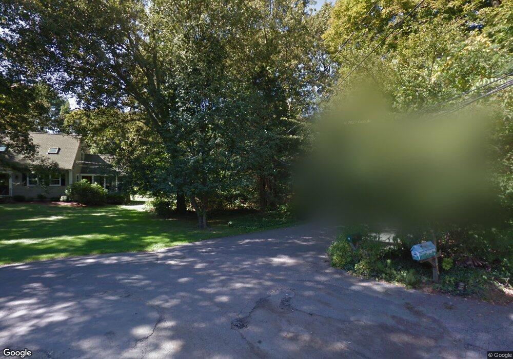
28 Point St Natick, MA 01760
Estimated Value: $856,000 - $1,460,000
3
Beds
3
Baths
2,603
Sq Ft
$478/Sq Ft
Est. Value
About This Home
This home is located at 28 Point St, Natick, MA 01760 and is currently estimated at $1,245,078, approximately $478 per square foot. 28 Point St is a home located in Middlesex County with nearby schools including Natick High School, Johnson Elementary School, and J F Kennedy Middle School.
Ownership History
Date
Name
Owned For
Owner Type
Purchase Details
Closed on
Feb 8, 2024
Sold by
Manning James R and Manning Carol A
Bought by
James R Manning Lt and Manning
Current Estimated Value
Purchase Details
Closed on
Sep 1, 1982
Bought by
Manning James R and Manning Carol A
Create a Home Valuation Report for This Property
The Home Valuation Report is an in-depth analysis detailing your home's value as well as a comparison with similar homes in the area
Home Values in the Area
Average Home Value in this Area
Purchase History
| Date | Buyer | Sale Price | Title Company |
|---|---|---|---|
| James R Manning Lt | -- | None Available | |
| Manning James R | $30,000 | -- |
Source: Public Records
Mortgage History
| Date | Status | Borrower | Loan Amount |
|---|---|---|---|
| Previous Owner | Manning James R | $65,000 |
Source: Public Records
Tax History
| Year | Tax Paid | Tax Assessment Tax Assessment Total Assessment is a certain percentage of the fair market value that is determined by local assessors to be the total taxable value of land and additions on the property. | Land | Improvement |
|---|---|---|---|---|
| 2025 | $13,279 | $1,110,300 | $558,100 | $552,200 |
| 2024 | $12,830 | $1,046,500 | $528,800 | $517,700 |
| 2023 | $12,251 | $969,200 | $486,100 | $483,100 |
| 2022 | $11,841 | $887,600 | $433,000 | $454,600 |
| 2021 | $11,387 | $836,700 | $410,200 | $426,500 |
| 2020 | $11,155 | $819,600 | $393,100 | $426,500 |
| 2019 | $7,696 | $605,500 | $393,100 | $212,400 |
| 2018 | $7,219 | $553,200 | $376,900 | $176,300 |
| 2017 | $7,117 | $527,600 | $354,500 | $173,100 |
| 2016 | $6,809 | $501,800 | $330,300 | $171,500 |
| 2015 | $6,911 | $500,100 | $344,700 | $155,400 |
Source: Public Records
Map
Nearby Homes
- 1 Proctor St
- 40 Silver Hill Ln Unit 4
- 28 Sylvester Rd
- 26 Wellesley Ave Unit B
- 21 Kelsey Rd
- 46 Silver Hill Ln Unit 1
- 36 Silver Hill Ln Unit 21
- 1 Fern St
- 3 Silver Hill Ln Unit 6
- 98 W Central St
- 16 West St
- 26 Fairway Cir Unit 26
- 5 Lanes End
- 157 Mill St
- 25 Forest Ave
- 62 Oakland St
- 56 Fisher St
- 50 Village Brook Ln Unit 4
- 58 W Central St
- 4 Village Brook Ln