28 Pond Rd Limerick, ME 04048
Estimated Value: $324,000 - $366,000
Studio
--
Bath
768
Sq Ft
$456/Sq Ft
Est. Value
About This Home
This home is located at 28 Pond Rd, Limerick, ME 04048 and is currently estimated at $350,174, approximately $455 per square foot. 28 Pond Rd is a home located in York County with nearby schools including Massabesic High School.
Ownership History
Date
Name
Owned For
Owner Type
Purchase Details
Closed on
Jun 1, 2020
Sold by
Cormier Joseph D and Cormier Veronica A
Bought by
Goode Melissa M
Current Estimated Value
Home Financials for this Owner
Home Financials are based on the most recent Mortgage that was taken out on this home.
Original Mortgage
$161,238
Outstanding Balance
$142,566
Interest Rate
3.3%
Mortgage Type
New Conventional
Estimated Equity
$207,608
Create a Home Valuation Report for This Property
The Home Valuation Report is an in-depth analysis detailing your home's value as well as a comparison with similar homes in the area
Home Values in the Area
Average Home Value in this Area
Purchase History
| Date | Buyer | Sale Price | Title Company |
|---|---|---|---|
| Goode Melissa M | -- | None Available |
Source: Public Records
Mortgage History
| Date | Status | Borrower | Loan Amount |
|---|---|---|---|
| Open | Goode Melissa M | $161,238 |
Source: Public Records
Tax History
| Year | Tax Paid | Tax Assessment Tax Assessment Total Assessment is a certain percentage of the fair market value that is determined by local assessors to be the total taxable value of land and additions on the property. | Land | Improvement |
|---|---|---|---|---|
| 2025 | $2,747 | $289,171 | $86,806 | $202,365 |
| 2024 | $2,747 | $289,171 | $86,806 | $202,365 |
| 2023 | $2,208 | $145,268 | $34,650 | $110,618 |
| 2022 | $2,063 | $145,268 | $34,650 | $110,618 |
| 2021 | $1,929 | $116,214 | $27,720 | $88,494 |
| 2020 | $1,906 | $116,214 | $27,720 | $88,494 |
| 2019 | $1,830 | $116,214 | $27,720 | $88,494 |
| 2018 | $1,564 | $96,830 | $27,720 | $69,110 |
| 2017 | $1,458 | $92,574 | $27,720 | $64,854 |
| 2016 | $176 | $11,720 | $11,720 | $0 |
| 2015 | $171 | $11,720 | $11,720 | $0 |
| 2014 | $166 | $11,720 | $11,720 | $0 |
Source: Public Records
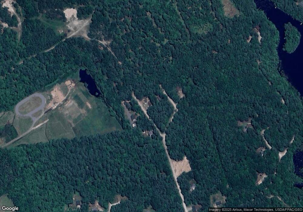
Map
Nearby Homes
- 50 Island Rd
- 0 Island Rd Unit 1643509
- TBD Sokokis Trail & Beaver Brook Rd
- 68 Lone Pine Rd
- 240 Leisure Ln
- 148 Beaver Brook Rd
- 59 Crescent Dr
- 13 Quaker Ln
- MP42LT232 Nob Hill Rd
- 17 High Point Cir
- 3 Division Rd
- 48 King Hill Rd
- 60 Sequoia Ln
- 92 Silver Ln
- TBD Division Dr
- 26 Old Country Way
- 33 Arrowhead Ln
- 4 Deer Crossing Rd
- 138 Fairview Dr
- 157 Silver Ln
- 18 Carrie Ln
- 31 Pond Rd
- 15 Carrie Ln
- 8 Dixie Ln
- 20 Pond Rd
- 1857 Pond Rd
- 0 Helen Cir Unit 583537
- 0 Helen Cir Unit 890764
- 0 Helen Cir Unit 1218942
- 7 Pond Rd
- 1844 Pond Rd
- 195 Pond Rd
- 5 Beth Ln
- 74 Waycross Way
- Lot 195-19 Pond Rd
- 0 Pond Rd
- 4 Beth Ln
- 102 Waycross Way - Lac
- Lot 75 Waycross Way
- 104-05 Waycross
Your Personal Tour Guide
Ask me questions while you tour the home.