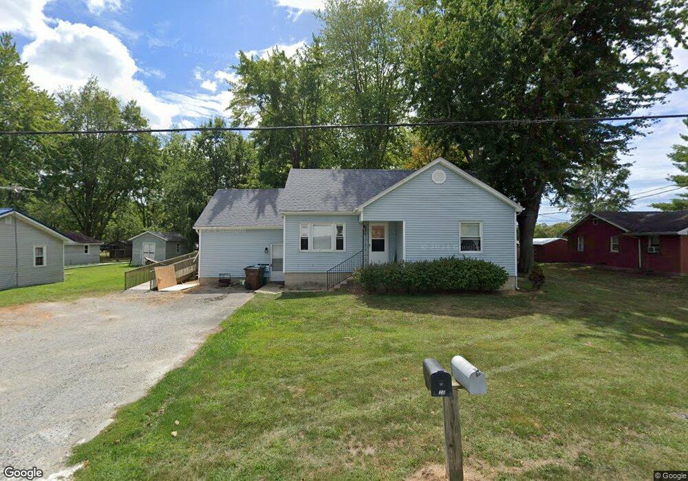
28 Powers Ave Georgetown, OH 45121
Estimated Value: $162,000 - $306,000
3
Beds
2
Baths
2,132
Sq Ft
$105/Sq Ft
Est. Value
About This Home
This home is located at 28 Powers Ave, Georgetown, OH 45121 and is currently estimated at $224,054, approximately $105 per square foot. 28 Powers Ave is a home located in Brown County with nearby schools including Georgetown Elementary School and Georgetown Jr/Sr High School.
Ownership History
Date
Name
Owned For
Owner Type
Purchase Details
Closed on
Mar 16, 1995
Sold by
Browning Charles J
Bought by
Hennig Scott W and Hennig Sharon L
Current Estimated Value
Home Financials for this Owner
Home Financials are based on the most recent Mortgage that was taken out on this home.
Original Mortgage
$41,000
Interest Rate
8.38%
Mortgage Type
New Conventional
Create a Home Valuation Report for This Property
The Home Valuation Report is an in-depth analysis detailing your home's value as well as a comparison with similar homes in the area
Home Values in the Area
Average Home Value in this Area
Purchase History
| Date | Buyer | Sale Price | Title Company |
|---|---|---|---|
| Hennig Scott W | $40,000 | -- |
Source: Public Records
Mortgage History
| Date | Status | Borrower | Loan Amount |
|---|---|---|---|
| Closed | Hennig Scott W | $41,000 |
Source: Public Records
Tax History
| Year | Tax Paid | Tax Assessment Tax Assessment Total Assessment is a certain percentage of the fair market value that is determined by local assessors to be the total taxable value of land and additions on the property. | Land | Improvement |
|---|---|---|---|---|
| 2024 | $1,937 | $54,710 | $1,660 | $53,050 |
| 2023 | $1,938 | $38,620 | $1,190 | $37,430 |
| 2022 | $1,489 | $38,620 | $1,190 | $37,430 |
| 2021 | $1,476 | $38,620 | $1,190 | $37,430 |
| 2020 | $1,306 | $32,180 | $990 | $31,190 |
| 2019 | $1,296 | $32,180 | $990 | $31,190 |
| 2018 | $1,287 | $32,180 | $990 | $31,190 |
| 2017 | $881 | $26,150 | $1,090 | $25,060 |
| 2016 | $881 | $26,150 | $1,090 | $25,060 |
| 2015 | $926 | $26,150 | $1,090 | $25,060 |
| 2014 | $926 | $26,050 | $990 | $25,060 |
| 2013 | $924 | $26,050 | $990 | $25,060 |
Source: Public Records
Map
Nearby Homes
- 427 Kenwood Ave
- 2 N Kenwood Ave
- 1 N Kenwood Ave
- 508 Mount Orab Pike
- 399 Elmwood Ct
- 60 New St
- 405 N Main St
- 406 E North St
- 505 S Water St
- 510 W State St
- 666 E State St
- 708 E State St
- 0 St Rt 221 & Footbridge Unit 1826509
- 155 Free Soil Rd
- 175 Douglas Cir
- 20 Heritage Hill Dr
- 38 Dell Acres Dr
- 3486 Barnes Rd
- 0 Barnes Rd Unit 1851215
- 4279 Sunshine Rd
- 25 Powers Ave
- 25 Powers Ave
- 25 Powers Ave
- 25 Powers Ave
- 830 Mount Orab Pike
- 40 Powers Ave
- 826 Mount Orab Pike
- 37 Powers Ave
- 20 Powers Ave
- 64 N Kenwood Ave
- 64 N Kenwood Ave
- 64 N Kenwood Ave
- 64 N Kenwood Ave
- 54 N Kenwood Ave
- 864 Mount Orab Pike
- 0 Char Del Dr Unit 1594597
- 0 Char Del Dr Unit 492946
- 38 N Kenwood Ave
- 841 Mount Orab Pike
- 841 Mount Orab Pike
Your Personal Tour Guide
Ask me questions while you tour the home.