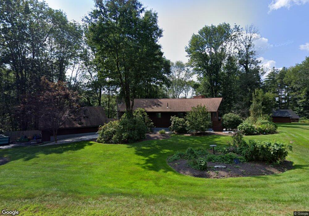
28 Pumpkin Ln Charlton, MA 01507
Estimated Value: $530,900 - $638,000
3
Beds
2
Baths
1,725
Sq Ft
$337/Sq Ft
Est. Value
About This Home
This home is located at 28 Pumpkin Ln, Charlton, MA 01507 and is currently estimated at $581,725, approximately $337 per square foot. 28 Pumpkin Ln is a home located in Worcester County with nearby schools including Shepherd Hill Regional High School and ViewPoint Christian Academy.
Ownership History
Date
Name
Owned For
Owner Type
Purchase Details
Closed on
Jul 20, 2017
Sold by
Williamson Barry E
Bought by
Lavallee Janet L
Current Estimated Value
Home Financials for this Owner
Home Financials are based on the most recent Mortgage that was taken out on this home.
Original Mortgage
$80,000
Outstanding Balance
$65,981
Interest Rate
3.89%
Mortgage Type
New Conventional
Estimated Equity
$515,744
Purchase Details
Closed on
May 6, 2009
Sold by
Neal Edmond A
Bought by
Williamson Barry E
Create a Home Valuation Report for This Property
The Home Valuation Report is an in-depth analysis detailing your home's value as well as a comparison with similar homes in the area
Home Values in the Area
Average Home Value in this Area
Purchase History
| Date | Buyer | Sale Price | Title Company |
|---|---|---|---|
| Lavallee Janet L | $287,400 | -- | |
| Lavallee Janet L | $287,400 | -- | |
| Williamson Barry E | -- | -- | |
| Williamson Barry E | -- | -- |
Source: Public Records
Mortgage History
| Date | Status | Borrower | Loan Amount |
|---|---|---|---|
| Open | Lavallee Janet L | $80,000 | |
| Closed | Lavallee Janet L | $80,000 | |
| Previous Owner | Williamson Barry E | $65,000 |
Source: Public Records
Tax History
| Year | Tax Paid | Tax Assessment Tax Assessment Total Assessment is a certain percentage of the fair market value that is determined by local assessors to be the total taxable value of land and additions on the property. | Land | Improvement |
|---|---|---|---|---|
| 2025 | $5,897 | $529,800 | $278,200 | $251,600 |
| 2024 | $5,736 | $505,800 | $266,400 | $239,400 |
| 2023 | $5,840 | $479,900 | $251,600 | $228,300 |
| 2022 | $5,272 | $396,700 | $207,200 | $189,500 |
| 2021 | $4,616 | $307,500 | $197,100 | $110,400 |
| 2020 | $4,785 | $320,300 | $197,100 | $123,200 |
| 2019 | $4,542 | $307,500 | $197,100 | $110,400 |
| 2018 | $2,952 | $218,700 | $119,300 | $99,400 |
| 2017 | $2,844 | $201,700 | $113,700 | $88,000 |
| 2016 | $2,779 | $201,700 | $113,700 | $88,000 |
| 2015 | $2,707 | $201,700 | $113,700 | $88,000 |
| 2014 | $2,542 | $200,800 | $112,400 | $88,400 |
Source: Public Records
Map
Nearby Homes
- 0 Blood Rd
- Lot 7 Harrington Rd
- 876 Worcester St
- 796 Charlton St
- 82 Prince Rd
- 60 Saundersdale Rd
- 0 Freeman Rd Unit 73369281
- 7 King Rd
- 149 Berry Corner Rd
- 28 Southbridge Rd Unit 308
- 7 L Stevens Rd Unit A
- 7 L Stevens Rd Unit B
- 9 L Stevens Rd Unit B
- 9 L Stevens Rd Unit A
- 6 Gillespie Rd
- 0 Worcester Rd
- 34 Worcester Rd
- 74 Hill Rd Unit A
- 68 - 74 Sturbridge Rd
- 6 S Sullivan Rd
- 26 Pumpkin Ln
- 24 Pumpkin Ln
- 20 Pumpkin Ln
- 25 Pumpkin Ln
- 16 Pumpkin Ln
- 34 Pumpkin Ln
- Lot A Pumpkin Ln
- 12 Pumpkin Ln
- 42 Pumpkin Ln
- 80 Prindle Hill Rd
- 86 Prindle Hill Rd
- Lot 9 Pumpkin Ln
- Lot 9B Pumpkin Ln
- 76 Prindle Hill Rd
- 41 Pumpkin Ln
- 70 Prindle Hill Rd
- 8 Pumpkin Ln
- 44 Pumpkin Ln
- 78 Prindle Hill Rd
- 45 Pumpkin Ln
Your Personal Tour Guide
Ask me questions while you tour the home.