28 Rathbun Rd Williamstown, MA 01267
Estimated Value: $360,000 - $397,000
2
Beds
2
Baths
1,277
Sq Ft
$299/Sq Ft
Est. Value
About This Home
This home is located at 28 Rathbun Rd, Williamstown, MA 01267 and is currently estimated at $381,251, approximately $298 per square foot. 28 Rathbun Rd is a home with nearby schools including Hancock Elementary School.
Ownership History
Date
Name
Owned For
Owner Type
Purchase Details
Closed on
Dec 16, 2003
Sold by
Johnson Myrna D
Bought by
Derby Shawn L and Derby Kathleen A
Current Estimated Value
Purchase Details
Closed on
Dec 14, 1993
Sold by
Johnson Reuben
Bought by
Johnson Myrna D
Home Financials for this Owner
Home Financials are based on the most recent Mortgage that was taken out on this home.
Original Mortgage
$22,325
Interest Rate
6.78%
Mortgage Type
Purchase Money Mortgage
Create a Home Valuation Report for This Property
The Home Valuation Report is an in-depth analysis detailing your home's value as well as a comparison with similar homes in the area
Home Values in the Area
Average Home Value in this Area
Purchase History
| Date | Buyer | Sale Price | Title Company |
|---|---|---|---|
| Derby Shawn L | $25,000 | -- | |
| Johnson Myrna D | $22,325 | -- |
Source: Public Records
Mortgage History
| Date | Status | Borrower | Loan Amount |
|---|---|---|---|
| Previous Owner | Johnson Myrna D | $22,325 |
Source: Public Records
Tax History
| Year | Tax Paid | Tax Assessment Tax Assessment Total Assessment is a certain percentage of the fair market value that is determined by local assessors to be the total taxable value of land and additions on the property. | Land | Improvement |
|---|---|---|---|---|
| 2025 | $925 | $344,000 | $76,200 | $267,800 |
| 2024 | $871 | $312,300 | $73,200 | $239,100 |
| 2023 | $753 | $281,000 | $71,900 | $209,100 |
| 2022 | $768 | $256,100 | $71,900 | $184,200 |
| 2021 | $704 | $236,100 | $71,900 | $164,200 |
| 2020 | $659 | $237,000 | $71,900 | $165,100 |
| 2019 | $769 | $231,000 | $71,900 | $159,100 |
| 2018 | $980 | $218,700 | $71,900 | $146,800 |
| 2017 | $629 | $213,900 | $71,900 | $142,000 |
| 2016 | $533 | $222,100 | $71,900 | $150,200 |
| 2015 | $635 | $223,700 | $74,100 | $149,600 |
Source: Public Records
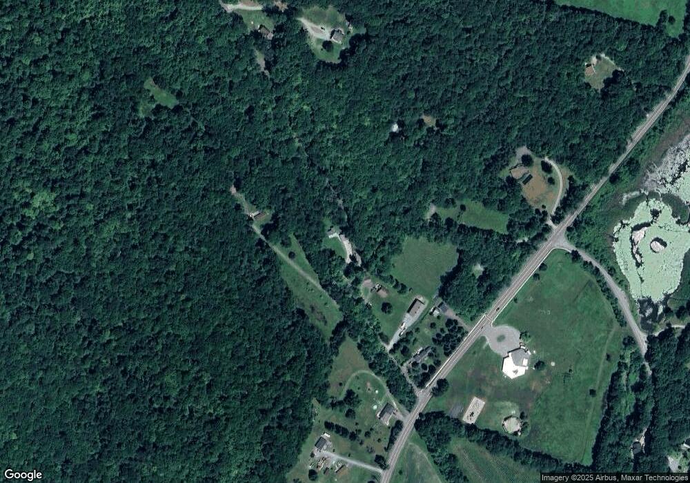
Map
Nearby Homes
- 1055 Beaver Pond Meadows
- 1052 Beaver Pond Meadows
- 1044 Beaver Pond Meadows
- 271 Brodie Mountain Rd
- 213 Brodie Mountain Rd
- 11 Corey Rd
- 9102 Mountainside Dr
- 803 Crane
- 825 Thatcher House
- 37 Corey Rd Unit 212
- 37 Corey Rd Unit 73
- 37 Corey Rd Unit 532
- 37 Corey Rd Unit 716
- 37 Corey Rd Unit 234
- 37 Corey Rd Unit 526
- 37 Corey Rd Unit 25
- 37 Corey Rd Unit 521
- 37 Corey Rd Unit 842
- 37 Corey Rd Unit 862
- 37 Corey Rd Unit 872
- 0 Rathbun Rd Unit 72131704
- 3105 Hancock Rd
- 21 Rathbun Rd
- 33 Rathbun Rd
- 3095 Hancock Rd
- 3053 Hancock Rd
- 3061 Hancock Rd
- 5 Rathbun Rd
- 3109 Hancock Rd
- 77 Rathbun Rd
- 89 Rathbun Rd
- 3047 Hancock Rd
- 2732 Hancock Rd
- 77 Rathbun Rd
- 3119 Hancock Rd
- 3023 Hancock Rd
- 3131 Hancock Rd
- 113 Rathbun Rd
- 113 Rathbun Rd
- 51 Whitman Rd
Your Personal Tour Guide
Ask me questions while you tour the home.