28 Raynor Dr Unit 128 Hingham, MA 02043
South Hingham NeighborhoodEstimated Value: $1,818,000 - $2,021,112
3
Beds
3
Baths
2,500
Sq Ft
$772/Sq Ft
Est. Value
About This Home
This home is located at 28 Raynor Dr Unit 128, Hingham, MA 02043 and is currently estimated at $1,931,037, approximately $772 per square foot. 28 Raynor Dr Unit 128 is a home located in Plymouth County with nearby schools including Plymouth River Elementary School, Hingham Middle School, and Hingham High School.
Ownership History
Date
Name
Owned For
Owner Type
Purchase Details
Closed on
Feb 5, 2025
Sold by
Hayes Anthony and Hayes Anne
Bought by
Anne S Hayes 2025 T S and Anne Hayes
Current Estimated Value
Purchase Details
Closed on
Apr 15, 2021
Sold by
Silverleib Ira and Silverleib Rhoda
Bought by
Hayes Anthony and Hayes Anne
Home Financials for this Owner
Home Financials are based on the most recent Mortgage that was taken out on this home.
Original Mortgage
$1,168,000
Interest Rate
2.85%
Mortgage Type
Purchase Money Mortgage
Purchase Details
Closed on
Mar 15, 2012
Sold by
Black Rock Residential
Bought by
Silverleib Rhoda
Create a Home Valuation Report for This Property
The Home Valuation Report is an in-depth analysis detailing your home's value as well as a comparison with similar homes in the area
Home Values in the Area
Average Home Value in this Area
Purchase History
| Date | Buyer | Sale Price | Title Company |
|---|---|---|---|
| Anne S Hayes 2025 T S | -- | None Available | |
| Anne S Hayes 2025 T S | -- | None Available | |
| Hayes Anthony | $1,460,000 | None Available | |
| Hayes Anthony | $1,460,000 | None Available | |
| Silverleib Rhoda | $1,035,000 | -- | |
| Silverleib Rhoda | $1,035,000 | -- |
Source: Public Records
Mortgage History
| Date | Status | Borrower | Loan Amount |
|---|---|---|---|
| Previous Owner | Hayes Anthony | $1,168,000 |
Source: Public Records
Tax History
| Year | Tax Paid | Tax Assessment Tax Assessment Total Assessment is a certain percentage of the fair market value that is determined by local assessors to be the total taxable value of land and additions on the property. | Land | Improvement |
|---|---|---|---|---|
| 2025 | $18,558 | $1,736,000 | $0 | $1,736,000 |
| 2024 | $18,371 | $1,693,200 | $0 | $1,693,200 |
| 2023 | $14,577 | $1,457,700 | $0 | $1,457,700 |
| 2022 | $14,421 | $1,247,500 | $0 | $1,247,500 |
| 2021 | $15,201 | $1,288,200 | $0 | $1,288,200 |
| 2020 | $14,853 | $1,288,200 | $0 | $1,288,200 |
| 2019 | $5,783 | $1,235,000 | $0 | $1,235,000 |
| 2018 | $13,819 | $1,174,100 | $0 | $1,174,100 |
| 2017 | $14,172 | $1,156,900 | $0 | $1,156,900 |
| 2016 | $12,998 | $1,040,700 | $0 | $1,040,700 |
| 2015 | $12,340 | $984,800 | $0 | $984,800 |
Source: Public Records
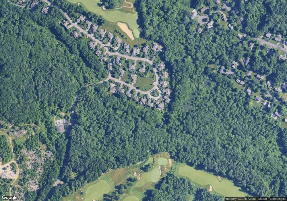
Map
Nearby Homes
- 5 Old County Rd
- 59 Clubhouse Dr Unit 59
- 59 Clubhouse Dr
- 95 Black Rock Dr Unit 95
- 95 Black Rock Dr
- 444 Cushing St
- 2 Black Rock Dr Unit 21
- 2 Black Rock Dr
- 18 Whiting Ln
- 183 Gardner St
- 1272 Washington St Unit G
- 4 Kerri Ln
- 1 Kerri Ln
- 6 Old Stone Way Unit 3
- 13 Independence Ln
- 11 Berkley Cir
- 100 Whiting St
- 126 Lakehurst Ave
- 1 Hemlock Rd
- 49 Raymond St
- 28 Raynor Dr
- 26 Raynor Dr Unit 127
- 26 Raynor Dr Unit 126
- 30 Raynor Dr Unit 30
- 30 Raynor Dr
- 30 Raynor Dr Unit 125
- 24 Raynor Dr
- 34 Raynor Dr Unit 123---G
- 34 Raynor Dr
- 22 Raynor Dr Unit 22
- 22 Raynor Dr Unit 129
- 22 Raynor Dr
- 33 Raynor Dr
- 18 Raynor Dr
- 36 Raynor Dr Unit 121-G
- 36 Raynor Dr Unit 121
- 36 Raynor Dr
- 5 Raynor Dr
- 16 Raynor Dr
- 38 Raynor Dr Unit 119
Your Personal Tour Guide
Ask me questions while you tour the home.