28 Red Fox Trail Somerset, MA 02726
Pottersville NeighborhoodEstimated Value: $629,000 - $686,000
3
Beds
2
Baths
2,200
Sq Ft
$300/Sq Ft
Est. Value
About This Home
This home is located at 28 Red Fox Trail, Somerset, MA 02726 and is currently estimated at $659,205, approximately $299 per square foot. 28 Red Fox Trail is a home located in Bristol County with nearby schools including North Elementary School and Somerset Middle School.
Ownership History
Date
Name
Owned For
Owner Type
Purchase Details
Closed on
Apr 25, 2000
Sold by
Sousa Ft and Halloran Clotelde E
Bought by
Scanlon Kevin R and Sivo Jo Ann
Current Estimated Value
Create a Home Valuation Report for This Property
The Home Valuation Report is an in-depth analysis detailing your home's value as well as a comparison with similar homes in the area
Home Values in the Area
Average Home Value in this Area
Purchase History
| Date | Buyer | Sale Price | Title Company |
|---|---|---|---|
| Scanlon Kevin R | $72,000 | -- | |
| Scanlon Kevin R | $72,000 | -- |
Source: Public Records
Mortgage History
| Date | Status | Borrower | Loan Amount |
|---|---|---|---|
| Open | Scanlon Kevin R | $250,000 | |
| Closed | Scanlon Kevin R | $255,000 |
Source: Public Records
Tax History Compared to Growth
Tax History
| Year | Tax Paid | Tax Assessment Tax Assessment Total Assessment is a certain percentage of the fair market value that is determined by local assessors to be the total taxable value of land and additions on the property. | Land | Improvement |
|---|---|---|---|---|
| 2025 | $7,155 | $538,000 | $193,200 | $344,800 |
| 2024 | $6,690 | $523,100 | $193,200 | $329,900 |
| 2023 | $5,995 | $472,800 | $175,600 | $297,200 |
| 2022 | $5,561 | $418,400 | $152,800 | $265,600 |
| 2021 | $5,622 | $383,000 | $139,000 | $244,000 |
| 2020 | $5,590 | $367,300 | $139,000 | $228,300 |
| 2019 | $6,282 | $344,200 | $139,000 | $205,200 |
| 2018 | $5,724 | $337,500 | $139,000 | $198,500 |
| 2017 | $5,692 | $327,100 | $139,000 | $188,100 |
| 2016 | $5,728 | $327,100 | $139,000 | $188,100 |
| 2015 | $5,457 | $314,500 | $141,200 | $173,300 |
| 2014 | $7,709 | $319,200 | $144,000 | $175,200 |
Source: Public Records
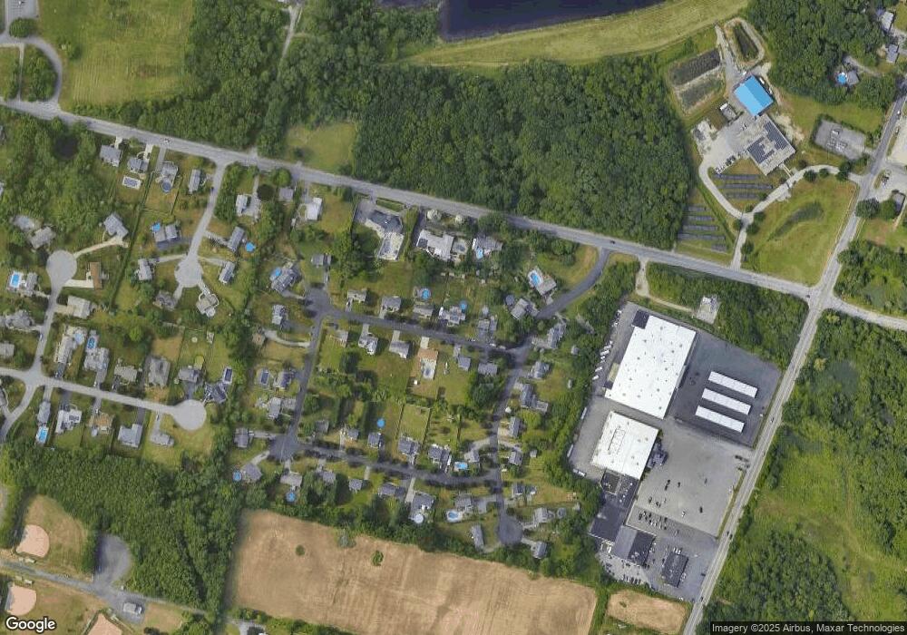
Map
Nearby Homes
- 64 Denham Ave
- 112 Rounseville Ave
- 69 Denham Ave
- 601 Eastview Ave
- 107 Manchester Ave
- 2546 County St
- 259 Lynch Ave
- 239 Maple St
- 435 Fairway Dr
- 165 Yankee Peddler Dr
- 0 Palmer St
- 190 Gibbs St
- 138 Bourn Ave
- 562 Main St
- 65 Marvel St
- 224 Chace St
- 64 Midland Rd
- 95 Brookside Rd
- 604 Lafayette St
- 3076 County St
- 25 Red Fox Trail
- 6 Red Fox Trail
- 47 Red Fox Trail
- 34 Red Fox Trail
- 5 Red Fox Trail
- 163 Rosewood Rd
- 63 Red Fox Trail
- 52 Red Fox Trail
- 221 Whetstone Hill Rd
- 259 Whetstone Hill Rd
- 185 Rosewood Rd
- 176 Rosewood Rd
- 81 Red Fox Trail
- 130 Rosewood Rd
- 154 Rosewood Rd
- 70 Red Fox Trail
- 102 Rosewood Rd
- 63 Rosewood Rd
- 80 Rosewood Rd
- 44 Jon Ester Rd