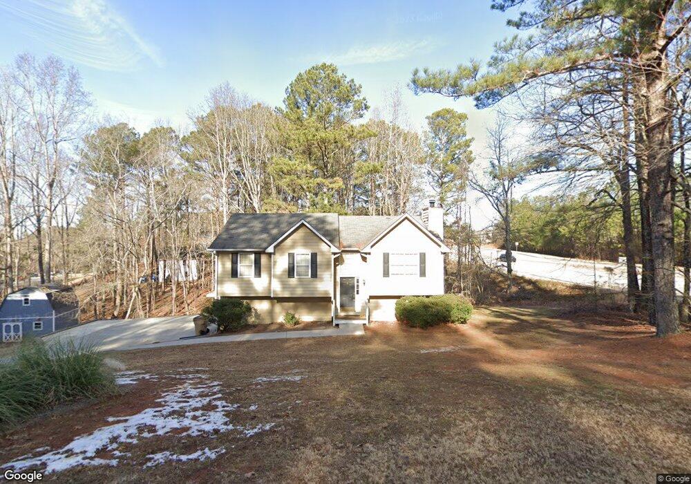
28 Remington Ln Acworth, GA 30101
Cedarcrest NeighborhoodEstimated Value: $279,348 - $329,000
3
Beds
2
Baths
1,193
Sq Ft
$255/Sq Ft
Est. Value
About This Home
This home is located at 28 Remington Ln, Acworth, GA 30101 and is currently estimated at $304,337, approximately $255 per square foot. 28 Remington Ln is a home located in Paulding County with nearby schools including Floyd L. Shelton Elementary School at Crossroad, Sammy Mcclure Sr. Middle School, and North Paulding High School.
Ownership History
Date
Name
Owned For
Owner Type
Purchase Details
Closed on
Nov 10, 2020
Sold by
Dr Horton Inc
Bought by
Munyua Stephen Mungai and Mungai Esther Wairimu
Current Estimated Value
Purchase Details
Closed on
Dec 9, 2010
Sold by
Eastman Ronald D
Bought by
Osteen Charles A
Home Financials for this Owner
Home Financials are based on the most recent Mortgage that was taken out on this home.
Original Mortgage
$92,750
Interest Rate
4.5%
Mortgage Type
FHA
Purchase Details
Closed on
Oct 1, 2007
Sold by
Goff Carl W
Bought by
Eastman Ronald D
Home Financials for this Owner
Home Financials are based on the most recent Mortgage that was taken out on this home.
Original Mortgage
$153,589
Interest Rate
6.49%
Mortgage Type
FHA
Create a Home Valuation Report for This Property
The Home Valuation Report is an in-depth analysis detailing your home's value as well as a comparison with similar homes in the area
Home Values in the Area
Average Home Value in this Area
Purchase History
| Date | Buyer | Sale Price | Title Company |
|---|---|---|---|
| Munyua Stephen Mungai | $310,000 | -- | |
| Osteen Charles A | $94,000 | -- | |
| Eastman Ronald D | $156,000 | -- |
Source: Public Records
Mortgage History
| Date | Status | Borrower | Loan Amount |
|---|---|---|---|
| Previous Owner | Osteen Charles A | $92,750 | |
| Previous Owner | Eastman Ronald D | $153,589 |
Source: Public Records
Tax History Compared to Growth
Tax History
| Year | Tax Paid | Tax Assessment Tax Assessment Total Assessment is a certain percentage of the fair market value that is determined by local assessors to be the total taxable value of land and additions on the property. | Land | Improvement |
|---|---|---|---|---|
| 2024 | $2,779 | $114,940 | $12,000 | $102,940 |
| 2023 | $3,029 | $118,700 | $12,000 | $106,700 |
| 2022 | $2,563 | $100,196 | $12,000 | $88,196 |
| 2021 | $2,156 | $76,068 | $12,000 | $64,068 |
| 2020 | $2,106 | $72,768 | $12,000 | $60,768 |
| 2019 | $1,995 | $68,068 | $12,000 | $56,068 |
| 2018 | $1,752 | $60,012 | $12,000 | $48,012 |
| 2017 | $1,544 | $52,400 | $12,000 | $40,400 |
| 2016 | $1,216 | $42,064 | $12,000 | $30,064 |
| 2015 | $1,403 | $47,440 | $12,000 | $35,440 |
| 2014 | $1,014 | $33,988 | $12,000 | $21,988 |
| 2013 | -- | $32,680 | $15,200 | $17,480 |
Source: Public Records
Map
Nearby Homes
- 262 Lilyfield Ln
- 9 Little Ct
- 148 Carlton Ct
- 26 Lilyfield Ln
- 266 Cedar Hill Dr Unit 79
- 266 Cedar Hill Dr
- 35 Primrose Dr
- 35 Primrose Dr Unit 60
- 498 Remington Ln
- 217 Hydrangea Ct
- 217 Hydrangea Ct Unit 30
- 67 Oak Springs Ln
- 207 Hydrangea Ct
- 27 Rosebud Ln Unit 37
- 27 Rosebud Ln
- 151 Hydrangea Ct
- 161 Oak Springs Ln
- 522 Lincolnwood Ln
- 17 Cedar Hill Dr Unit 2
- 17 Cedar Hill Dr
- 54 Remington Ln
- 52 Browning Cir
- 17 Remington Ln
- 70 Browning Cir
- 61 Remington Ln
- 80 Remington Ln
- 181 Prescott Dr
- 181 Prescott Dr Unit 1
- 195 Prescott Dr
- 2151 Cedarcrest Rd
- 77 Remington Ln
- 207 Prescott Dr
- 67 Browning Cir
- 20 Tidwell Ct
- 100 Browning Cir
- 225 Prescott Dr
- 169 Prescott Dr
- 157 Prescott Dr
- 85 Remington Ln
- 79 Browning Cir