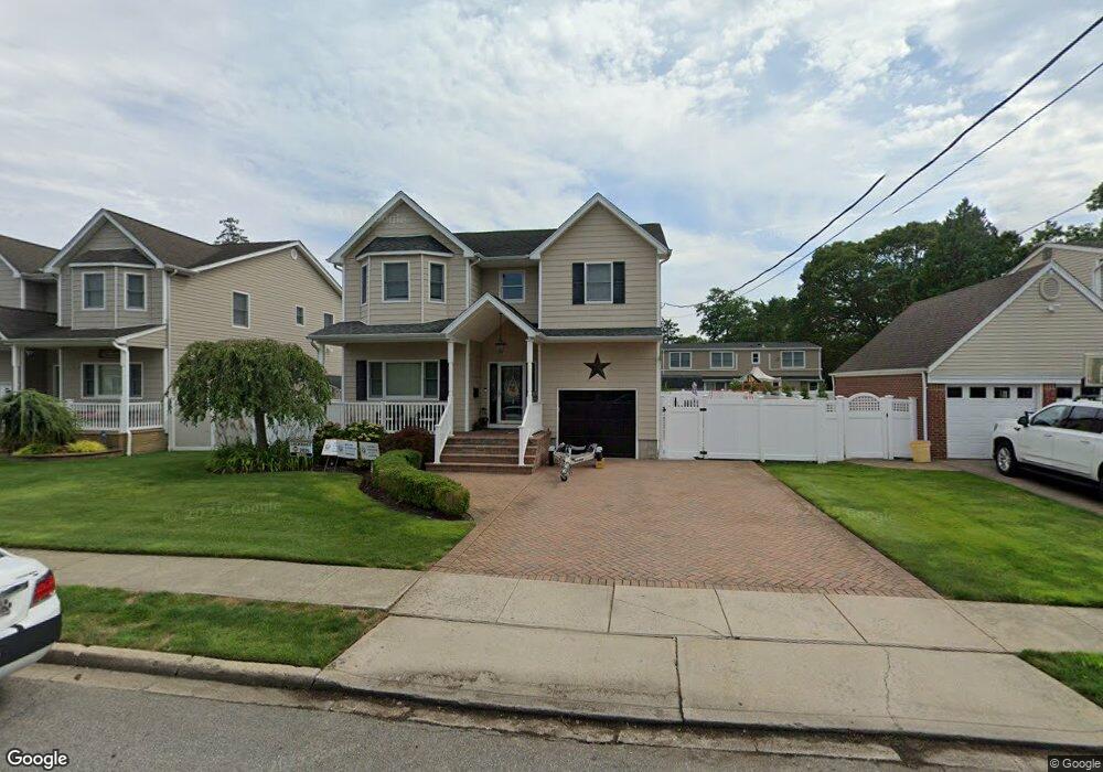
28 Rhode Island Ave Massapequa, NY 11758
Estimated Value: $1,153,000
4
Beds
3
Baths
2,548
Sq Ft
$453/Sq Ft
Est. Value
About This Home
This home is located at 28 Rhode Island Ave, Massapequa, NY 11758 and is currently estimated at $1,153,000, approximately $452 per square foot. 28 Rhode Island Ave is a home located in Nassau County with nearby schools including Massapequa High School - Ames Campus, Berner Middle School, and Massapequa High School.
Ownership History
Date
Name
Owned For
Owner Type
Purchase Details
Closed on
Jan 27, 2014
Sold by
Willdigg Thomas R and Willdigg Maureen
Bought by
Antico Justin J and Antico Toni
Current Estimated Value
Home Financials for this Owner
Home Financials are based on the most recent Mortgage that was taken out on this home.
Original Mortgage
$488,000
Outstanding Balance
$370,625
Interest Rate
4.47%
Mortgage Type
Purchase Money Mortgage
Estimated Equity
$782,375
Create a Home Valuation Report for This Property
The Home Valuation Report is an in-depth analysis detailing your home's value as well as a comparison with similar homes in the area
Home Values in the Area
Average Home Value in this Area
Purchase History
| Date | Buyer | Sale Price | Title Company |
|---|---|---|---|
| Antico Justin J | $610,000 | -- |
Source: Public Records
Mortgage History
| Date | Status | Borrower | Loan Amount |
|---|---|---|---|
| Open | Antico Justin J | $488,000 |
Source: Public Records
Tax History Compared to Growth
Tax History
| Year | Tax Paid | Tax Assessment Tax Assessment Total Assessment is a certain percentage of the fair market value that is determined by local assessors to be the total taxable value of land and additions on the property. | Land | Improvement |
|---|---|---|---|---|
| 2025 | $18,826 | $652 | $168 | $484 |
| 2024 | $6,103 | $724 | $187 | $537 |
| 2023 | $18,559 | $721 | $186 | $535 |
| 2022 | $18,559 | $768 | $198 | $570 |
| 2021 | $18,093 | $740 | $191 | $549 |
| 2020 | $17,374 | $944 | $481 | $463 |
| 2019 | $15,454 | $1,012 | $516 | $496 |
| 2018 | $15,395 | $1,057 | $0 | $0 |
| 2017 | $9,042 | $1,057 | $539 | $518 |
| 2016 | $14,183 | $1,057 | $516 | $541 |
| 2015 | $4,615 | $1,057 | $460 | $597 |
| 2014 | $4,615 | $1,057 | $460 | $597 |
| 2013 | $4,384 | $1,104 | $480 | $624 |
Source: Public Records
Map
Nearby Homes
- 73 Massachusetts Ave
- 20 Boston Ave
- 22 Commonwealth Ave
- 76 Hamilton Ave
- 102 Boston Ave
- 101 Toronto Ave
- 11 Pittsburgh Ave
- 70 Pittsburgh Ave
- 121 Ontario Ave
- 126 Commonwealth Ave
- 1427 Washington Ave
- 128 Massachusetts Ave
- 4030 Jerusalem Ave Unit 1B
- 598 N Suffolk Ave
- 3970 Worthmor Dr
- 4057 Eve Dr
- 51 Michigan Ave
- 163 Massachusetts Ave
- 36 Michigan Ave
- 3975 Anne Dr
- 32 Rhode Island Ave
- 34 Rhode Island Ave
- 19 Commonwealth Ave
- 21 Commonwealth Ave
- 24 Rhode Island Ave
- 29 Rhode Island Ave
- 7 Commonwealth Ave
- 33 Rhode Island Ave
- 36 Rhode Island Ave
- 25 Commonwealth Ave
- 25 Rhode Island Ave
- 37 Rhode Island Ave
- 35 Rhode Island Ave
- 5 Commonwealth Ave
- 18 Rhode Island Ave
- 21 Rhode Island Ave
- 38 Rhode Island Ave
- 29 Commonwealth Ave
- 56 New Hampshire Ave
- 961 Hicksville Rd