28 Rogers Pt Dr Eliot, ME 03903
South Eliot NeighborhoodEstimated Value: $634,924 - $1,217,000
3
Beds
2
Baths
2,591
Sq Ft
$328/Sq Ft
Est. Value
About This Home
This home is located at 28 Rogers Pt Dr, Eliot, ME 03903 and is currently estimated at $848,981, approximately $327 per square foot. 28 Rogers Pt Dr is a home located in York County with nearby schools including Marshwood High School and Seacoast Waldorf School.
Ownership History
Date
Name
Owned For
Owner Type
Purchase Details
Closed on
Dec 15, 2018
Sold by
Schubert David H and Schubert Cathryn
Bought by
Schubert David H and Schubert Cathryn
Current Estimated Value
Purchase Details
Closed on
Nov 21, 2016
Sold by
Schubert David H and Schubert Cathryn
Bought by
Schubert David H and Schubert Cathryn
Purchase Details
Closed on
Nov 20, 2009
Sold by
Mohr Brent C and Knight-Mohr Diane M
Bought by
Schubert David H and Schubert Cathryn W
Home Financials for this Owner
Home Financials are based on the most recent Mortgage that was taken out on this home.
Original Mortgage
$354,000
Interest Rate
4.86%
Mortgage Type
Purchase Money Mortgage
Create a Home Valuation Report for This Property
The Home Valuation Report is an in-depth analysis detailing your home's value as well as a comparison with similar homes in the area
Home Values in the Area
Average Home Value in this Area
Purchase History
| Date | Buyer | Sale Price | Title Company |
|---|---|---|---|
| Schubert David H | -- | -- | |
| Schubert David H | -- | -- | |
| Schubert David H | -- | -- |
Source: Public Records
Mortgage History
| Date | Status | Borrower | Loan Amount |
|---|---|---|---|
| Previous Owner | Schubert David H | $354,000 | |
| Previous Owner | Schubert David H | $180,000 |
Source: Public Records
Tax History Compared to Growth
Tax History
| Year | Tax Paid | Tax Assessment Tax Assessment Total Assessment is a certain percentage of the fair market value that is determined by local assessors to be the total taxable value of land and additions on the property. | Land | Improvement |
|---|---|---|---|---|
| 2024 | $6,109 | $515,500 | $282,100 | $233,400 |
| 2023 | $6,025 | $491,800 | $278,000 | $213,800 |
| 2022 | $5,846 | $483,100 | $278,000 | $205,100 |
| 2021 | $6,140 | $478,600 | $278,000 | $200,600 |
| 2020 | $6,762 | $460,000 | $278,000 | $182,000 |
| 2019 | $4,159 | $444,300 | $263,300 | $181,000 |
| 2018 | $6,531 | $444,300 | $263,300 | $181,000 |
| 2017 | $6,353 | $444,300 | $263,300 | $181,000 |
| 2016 | $5,873 | $418,000 | $263,300 | $154,700 |
| 2015 | $5,683 | $405,900 | $254,800 | $151,100 |
| 2014 | $5,601 | $405,900 | $254,800 | $151,100 |
| 2013 | $5,346 | $405,900 | $254,800 | $151,100 |
Source: Public Records
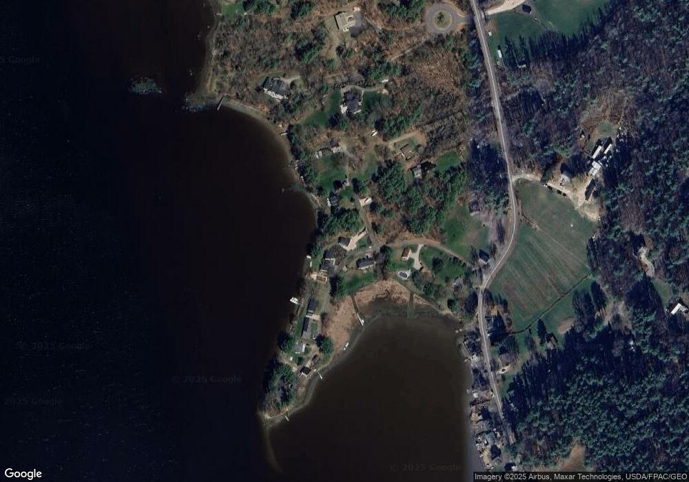
Map
Nearby Homes
- 0 Cote Dr
- Slip B18 Little Bay
- 27 Wentworth Terrace
- 708 River Rd Unit 2
- 708 River Rd Unit 3
- 41 Clearwater Dr
- 18 Governor Hill Rd
- 33 Little Bay Dr
- 18 Little Bay Dr
- 1708 State Rd
- 25 Shore Ln
- SLIP 15 Little Bay Marina
- 4 Shore Ln
- 25 Fosters Dr
- 245 Piscataqua Rd
- 71 Shipwright Way
- TBD Cedar Rd
- Lot 1 Cedar Tbd
- Lot 2 Cedar Tbd
- 10 Shipwright Way
- 25 Rogers Pt Dr
- 25 Rogers Point Dr
- 25 Rogers Point Dr
- 25 Roger's Point Dr
- 36 Rogers Point Dr
- 36 Rogers Pt Dr
- 0 Grandview Dr Unit 1456164
- 7 Grandview Dr
- 38 Rogers Pt Dr
- 0 Rogers Point Dr Unit 4056246
- 15 Rogers Point Dr
- 42 Rogers Pt Dr
- 42 Rogers Point Dr
- 41 Rogers Pt Dr
- 41 Rogers Point Dr
- 13 Rogers Pt Dr
- 26 Hill Dr
- 44 Rogers Pt Dr
- 5 Locust Ave
- 467 River Rd