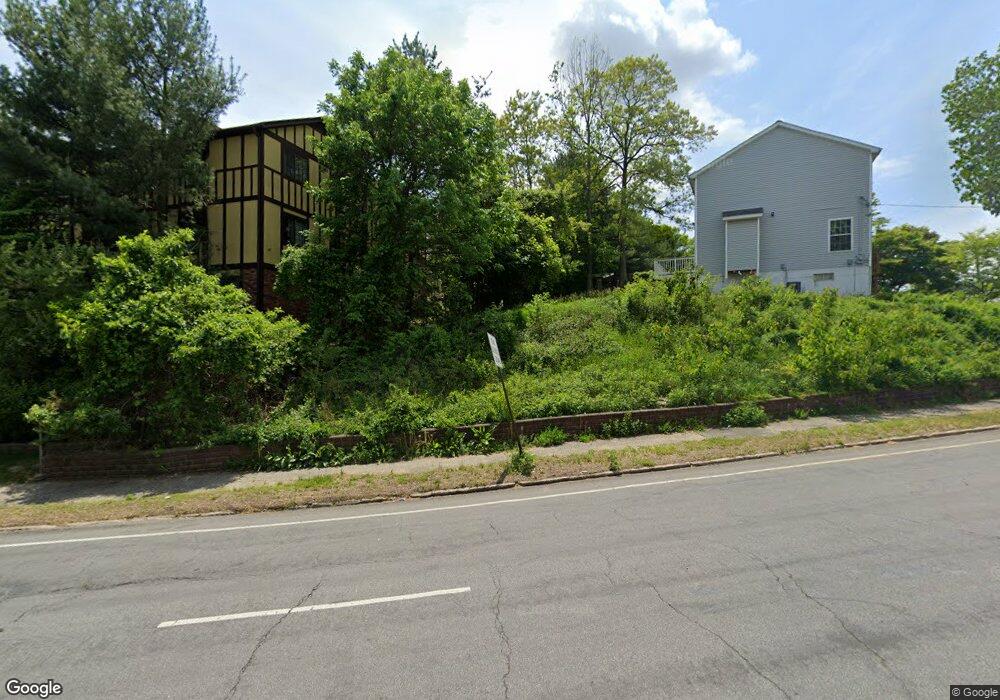
28 Roxbury Ln Bridgeport, CT 06606
North End NeighborhoodEstimated Value: $235,000 - $296,000
2
Beds
2
Baths
1,157
Sq Ft
$237/Sq Ft
Est. Value
About This Home
This home is located at 28 Roxbury Ln, Bridgeport, CT 06606 and is currently estimated at $274,057, approximately $236 per square foot. 28 Roxbury Ln is a home located in Fairfield County with nearby schools including John Winthrop School, Central High School, and St Andrew School.
Ownership History
Date
Name
Owned For
Owner Type
Purchase Details
Closed on
Feb 9, 2022
Sold by
Buster Harry
Bought by
Buster Debrah
Current Estimated Value
Purchase Details
Closed on
May 3, 2016
Sold by
Buster Harry
Bought by
Buster Debrah and Buster Harry
Purchase Details
Closed on
Dec 10, 2013
Sold by
Cohen Donald
Bought by
Buster Harry
Home Financials for this Owner
Home Financials are based on the most recent Mortgage that was taken out on this home.
Original Mortgage
$40,000
Interest Rate
4.17%
Purchase Details
Closed on
Jan 30, 1998
Sold by
Silverstone Muriel
Bought by
Cohen Donald S
Create a Home Valuation Report for This Property
The Home Valuation Report is an in-depth analysis detailing your home's value as well as a comparison with similar homes in the area
Home Values in the Area
Average Home Value in this Area
Purchase History
| Date | Buyer | Sale Price | Title Company |
|---|---|---|---|
| Buster Debrah | -- | None Available | |
| Buster Debrah | -- | None Available | |
| Buster Debrah | -- | -- | |
| Buster Debrah | -- | -- | |
| Buster Harry | $13,500 | -- | |
| Buster Harry | $13,500 | -- | |
| Cohen Donald S | $63,500 | -- | |
| Cohen Donald S | $63,500 | -- |
Source: Public Records
Mortgage History
| Date | Status | Borrower | Loan Amount |
|---|---|---|---|
| Previous Owner | Cohen Donald S | $40,000 |
Source: Public Records
Tax History Compared to Growth
Tax History
| Year | Tax Paid | Tax Assessment Tax Assessment Total Assessment is a certain percentage of the fair market value that is determined by local assessors to be the total taxable value of land and additions on the property. | Land | Improvement |
|---|---|---|---|---|
| 2025 | $5,267 | $121,210 | $0 | $121,210 |
| 2024 | $5,267 | $121,210 | $0 | $121,210 |
| 2023 | $5,267 | $121,210 | $0 | $121,210 |
| 2022 | $5,267 | $121,210 | $0 | $121,210 |
| 2021 | $5,267 | $121,210 | $0 | $121,210 |
| 2020 | $4,603 | $85,260 | $0 | $85,260 |
| 2019 | $4,603 | $85,260 | $0 | $85,260 |
| 2018 | $4,636 | $85,260 | $0 | $85,260 |
| 2017 | $4,636 | $85,260 | $0 | $85,260 |
| 2016 | $4,636 | $85,260 | $0 | $85,260 |
| 2015 | $4,755 | $112,680 | $0 | $112,680 |
| 2014 | $4,755 | $112,680 | $0 | $112,680 |
Source: Public Records
Map
Nearby Homes
- 17 Teresa Place Unit 17
- 2800 Madison Ave Unit 1B
- 230 Cherry Hill Dr Unit 2B
- 15 Cherry Hill Dr Unit 2A
- 2955 Madison Ave Unit 40
- 12 Riverview Dr Unit 12
- 2998 Madison Ave Unit C
- 533 Glendale Ave
- 81 Ameridge Dr
- 3989 Park Ave
- 129 Ashton St
- 9 Patricia Rd Unit C
- 236 Edgemoor Rd Unit D
- 495 Peet St
- 419 Valley Rd
- 38 Enid St Unit B
- 720 Queen St
- 72 Herald Ave
- 288 Sunrise Terrace
- 161 Brion Dr