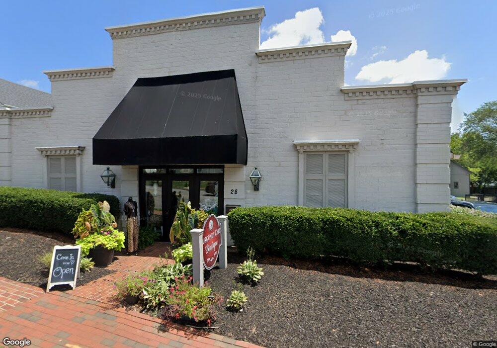
28 S Main St Centerville, OH 45458
Estimated Value: $297,349
Studio
--
Bath
4,018
Sq Ft
$74/Sq Ft
Est. Value
About This Home
This home is located at 28 S Main St, Centerville, OH 45458 and is currently estimated at $297,349, approximately $74 per square foot. 28 S Main St is a home located in Montgomery County with nearby schools including Primary Village South, Cline Elementary, and Tower Heights Middle School.
Ownership History
Date
Name
Owned For
Owner Type
Purchase Details
Closed on
Apr 4, 2018
Sold by
Bishop Luque Properties
Bought by
Lb Smiles Llc
Current Estimated Value
Home Financials for this Owner
Home Financials are based on the most recent Mortgage that was taken out on this home.
Original Mortgage
$138,750
Outstanding Balance
$118,436
Interest Rate
4.4%
Mortgage Type
Future Advance Clause Open End Mortgage
Estimated Equity
$178,913
Purchase Details
Closed on
Sep 11, 1989
Bought by
Bishop-Luque Properties
Create a Home Valuation Report for This Property
The Home Valuation Report is an in-depth analysis detailing your home's value as well as a comparison with similar homes in the area
Purchase History
| Date | Buyer | Sale Price | Title Company |
|---|---|---|---|
| Lb Smiles Llc | $185,000 | Hallmark Title | |
| Bishop-Luque Properties | $97,000 | -- |
Source: Public Records
Mortgage History
| Date | Status | Borrower | Loan Amount |
|---|---|---|---|
| Open | Lb Smiles Llc | $138,750 |
Source: Public Records
Tax History
| Year | Tax Paid | Tax Assessment Tax Assessment Total Assessment is a certain percentage of the fair market value that is determined by local assessors to be the total taxable value of land and additions on the property. | Land | Improvement |
|---|---|---|---|---|
| 2025 | $5,376 | $62,200 | $14,440 | $47,760 |
| 2024 | $5,002 | $62,200 | $14,440 | $47,760 |
| 2023 | $5,002 | $62,200 | $14,440 | $47,760 |
| 2022 | $5,571 | $59,240 | $13,760 | $45,480 |
| 2021 | $5,626 | $59,240 | $13,760 | $45,480 |
| 2020 | $5,571 | $59,240 | $13,760 | $45,480 |
| 2019 | $4,546 | $46,360 | $13,760 | $32,600 |
| 2018 | $4,132 | $46,360 | $13,760 | $32,600 |
| 2017 | $4,086 | $46,360 | $13,760 | $32,600 |
| 2016 | $4,160 | $46,360 | $13,760 | $32,600 |
| 2015 | $4,143 | $46,360 | $13,760 | $32,600 |
| 2014 | $4,143 | $46,360 | $13,760 | $32,600 |
| 2012 | -- | $48,510 | $12,800 | $35,710 |
Source: Public Records
Map
Nearby Homes
- 51 Winchester (#E) Place
- 100 Weller Ave
- 104 Martha Ave
- 190 Lyons Dr
- 225 S Main St
- 30 Lynn Rae Cir
- 65 Dale Ridge Dr
- 174 Waterford Dr
- 262 Laurel Oak Dr
- 7767 Brams Hill Dr Unit 7767
- 55 Gulfwood Ct
- 7810 Port Cir Unit 7810
- 358 Sentinel Oak Dr
- 7036 Far Hills Ave
- 7035 Bluffs Dr Unit 27035
- 1687 S Golden Clove Bend
- 6935 Paragon Rd
- 7215 Whitetail Trail Unit 108108
- 8772 Washington Colony Dr Unit 12
- 955 Elk Hollow Ln Unit 4040
Your Personal Tour Guide
Ask me questions while you tour the home.