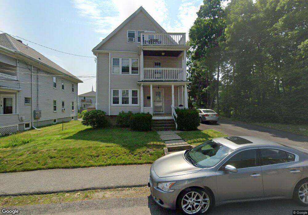
28 Saunders Rd Unit 30 Norwood, MA 02062
Norwood Centre NeighborhoodEstimated Value: $905,659 - $996,000
8
Beds
3
Baths
2,943
Sq Ft
$326/Sq Ft
Est. Value
About This Home
This home is located at 28 Saunders Rd Unit 30, Norwood, MA 02062 and is currently estimated at $959,165, approximately $325 per square foot. 28 Saunders Rd Unit 30 is a home located in Norfolk County with nearby schools including Norwood High School, Norwood Montessori School, and St Catherine Of Siena School.
Ownership History
Date
Name
Owned For
Owner Type
Purchase Details
Closed on
Oct 17, 2016
Sold by
Ryan Mark P and Ryan Janet L
Bought by
East Brockton Llc
Current Estimated Value
Purchase Details
Closed on
Feb 27, 2004
Sold by
Ryan Mark P
Bought by
Ryan Janet L and Ryan Mark P
Home Financials for this Owner
Home Financials are based on the most recent Mortgage that was taken out on this home.
Original Mortgage
$290,500
Interest Rate
5.65%
Mortgage Type
Purchase Money Mortgage
Purchase Details
Closed on
Dec 23, 1986
Bought by
Ryan Mark P
Create a Home Valuation Report for This Property
The Home Valuation Report is an in-depth analysis detailing your home's value as well as a comparison with similar homes in the area
Home Values in the Area
Average Home Value in this Area
Purchase History
| Date | Buyer | Sale Price | Title Company |
|---|---|---|---|
| East Brockton Llc | $535,000 | -- | |
| Ryan Janet L | -- | -- | |
| Ryan Mark P | $205,000 | -- |
Source: Public Records
Mortgage History
| Date | Status | Borrower | Loan Amount |
|---|---|---|---|
| Previous Owner | Ryan Janet L | $290,500 | |
| Previous Owner | Ryan Mark P | $176,000 |
Source: Public Records
Tax History Compared to Growth
Tax History
| Year | Tax Paid | Tax Assessment Tax Assessment Total Assessment is a certain percentage of the fair market value that is determined by local assessors to be the total taxable value of land and additions on the property. | Land | Improvement |
|---|---|---|---|---|
| 2025 | $81 | $766,600 | $268,100 | $498,500 |
| 2024 | $7,447 | $711,300 | $268,100 | $443,200 |
| 2023 | $6,761 | $655,100 | $233,100 | $422,000 |
| 2022 | $6,814 | $633,900 | $211,900 | $422,000 |
| 2021 | $6,806 | $600,200 | $204,100 | $396,100 |
| 2020 | $6,183 | $554,500 | $204,100 | $350,400 |
| 2019 | $5,603 | $514,500 | $194,400 | $320,100 |
| 2018 | $5,612 | $506,000 | $185,100 | $320,900 |
| 2017 | $5,432 | $487,200 | $185,100 | $302,100 |
| 2016 | $5,104 | $459,000 | $185,100 | $273,900 |
| 2015 | $4,298 | $374,700 | $176,700 | $198,000 |
| 2014 | $4,258 | $367,700 | $160,300 | $207,400 |
Source: Public Records
Map
Nearby Homes
- 108 Winslow Ave
- 25-29 Chapel St
- 909 Washington St Unit 14
- 909 Washington St
- 18 Laurel Rd
- 10 Victoria Cir
- 1086 Washington St
- 19-21
- 785 Washington St Unit 206
- 785 Washington St Unit 207
- 15-17 Heaton Ave
- 70 Endicott St Unit 404
- 34 Austin St Unit 1L
- 8 Endicott St
- 11 Beacon Park Rd
- 21 Walpole St
- 3 Endicott St Unit 1
- 22 Hillside Ave
- 28 Shaw St
- 14 Alandale Pkwy
- 24 Saunders Rd Unit 26
- 26 Saunders Rd Unit 26
- 40 Saunders Rd
- 29 Saunders Rd
- 23 Saunders Rd Unit 25
- 23 Saunders Rd Unit 1
- 35 Saunders Rd
- 26-28 Harding Rd
- 34 Harding Rd Unit 36
- 23-25 Saunders Rd
- 39 Saunders Rd
- 20 Saunders Rd
- 52 Saunders Rd
- 28 Harding Rd Unit 1
- 28 Harding Rd Unit 2
- 41 Saunders Rd Unit 43
- 40-42 Harding Rd
- 17 Saunders Rd Unit 19
- 17 Saunders Rd Unit 1
- 19 Saunders Rd Unit 2