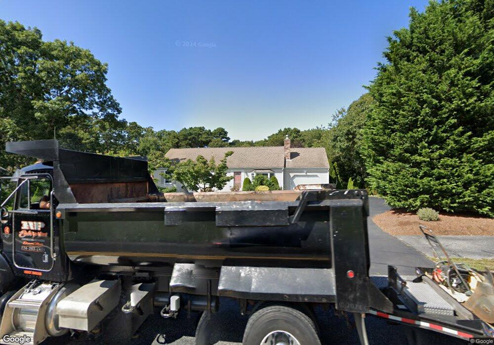
28 Setucket Rd Yarmouth Port, MA 02675
Yarmouth Port NeighborhoodEstimated Value: $610,937 - $658,000
3
Beds
3
Baths
1,001
Sq Ft
$640/Sq Ft
Est. Value
About This Home
This home is located at 28 Setucket Rd, Yarmouth Port, MA 02675 and is currently estimated at $640,234, approximately $639 per square foot. 28 Setucket Rd is a home located in Barnstable County with nearby schools including Dennis-Yarmouth Regional High School and St. Pius X. School.
Ownership History
Date
Name
Owned For
Owner Type
Purchase Details
Closed on
Jul 29, 2002
Sold by
Gray Thomas J
Bought by
Ulrich T Paul and Ulrich Clare M
Current Estimated Value
Home Financials for this Owner
Home Financials are based on the most recent Mortgage that was taken out on this home.
Original Mortgage
$165,000
Interest Rate
6.73%
Mortgage Type
Purchase Money Mortgage
Purchase Details
Closed on
Apr 30, 1998
Sold by
Ackerman Gene Franklin
Bought by
Gray Thomas J
Create a Home Valuation Report for This Property
The Home Valuation Report is an in-depth analysis detailing your home's value as well as a comparison with similar homes in the area
Home Values in the Area
Average Home Value in this Area
Purchase History
| Date | Buyer | Sale Price | Title Company |
|---|---|---|---|
| Ulrich T Paul | $230,000 | -- | |
| Gray Thomas J | $114,500 | -- |
Source: Public Records
Mortgage History
| Date | Status | Borrower | Loan Amount |
|---|---|---|---|
| Open | Gray Thomas J | $135,000 | |
| Closed | Gray Thomas J | $165,000 | |
| Previous Owner | Gray Thomas J | $180,000 |
Source: Public Records
Tax History Compared to Growth
Tax History
| Year | Tax Paid | Tax Assessment Tax Assessment Total Assessment is a certain percentage of the fair market value that is determined by local assessors to be the total taxable value of land and additions on the property. | Land | Improvement |
|---|---|---|---|---|
| 2025 | $3,524 | $497,700 | $150,500 | $347,200 |
| 2024 | $3,526 | $477,800 | $158,700 | $319,100 |
| 2023 | $3,446 | $424,900 | $141,400 | $283,500 |
| 2022 | $3,242 | $353,200 | $127,300 | $225,900 |
| 2021 | $3,049 | $318,900 | $127,300 | $191,600 |
| 2020 | $2,984 | $298,400 | $127,300 | $171,100 |
| 2019 | $13 | $273,700 | $127,300 | $146,400 |
| 2018 | $2,574 | $250,100 | $103,700 | $146,400 |
| 2017 | $2,506 | $250,100 | $103,700 | $146,400 |
| 2016 | $2,402 | $240,700 | $94,300 | $146,400 |
| 2015 | $2,456 | $244,600 | $94,300 | $150,300 |
Source: Public Records
Map
Nearby Homes
- 44 Stratford Ln
- 43 Canterbury Rd
- 6 Nimble Hill Dr
- 86 Pompano Rd
- 34 Kates Path
- 34 Kates Path Unit 34
- 64 Kates Path
- 17 Kates Path Unit A
- 228 Kates Path
- 42 John Hall Cartway Unit 42
- 50 John Hall Cartway
- 50 John Hall Cartway Unit 50
- 25 Oak Glen Village Unit 25
- 25 Oak Glen
- 59 Main St Unit 19-2
- 59 Route 6a Unit 29-4
- 111 Merchant Ave
- 51 Bray Farm Rd N
- 7 Forest Gate Unit 7
- 1 Barnacle Rd