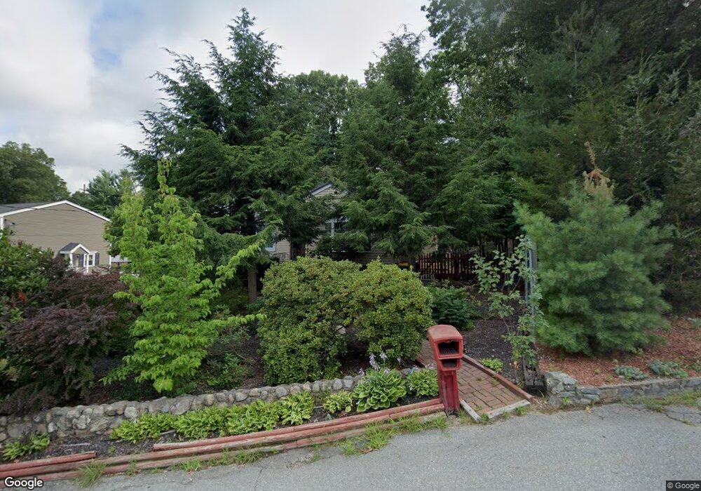
28 Slater Dr Harrisville, RI 02830
Burrillville NeighborhoodEstimated Value: $339,042 - $438,000
1
Bed
1
Bath
720
Sq Ft
$562/Sq Ft
Est. Value
About This Home
This home is located at 28 Slater Dr, Harrisville, RI 02830 and is currently estimated at $404,511, approximately $561 per square foot. 28 Slater Dr is a home located in Providence County with nearby schools including Austin T. Levy School, Burrillville Middle School, and Burrillville High School.
Ownership History
Date
Name
Owned For
Owner Type
Purchase Details
Closed on
Dec 2, 2016
Sold by
Stahowiak Vincent E and Stahowiak Marcia A
Bought by
Marshall Katie L
Current Estimated Value
Home Financials for this Owner
Home Financials are based on the most recent Mortgage that was taken out on this home.
Original Mortgage
$242,368
Outstanding Balance
$203,041
Interest Rate
4.4%
Mortgage Type
FHA
Estimated Equity
$201,470
Purchase Details
Closed on
Jul 24, 1971
Bought by
Stahowiak Vincent E and Stahowiak Marcia A
Create a Home Valuation Report for This Property
The Home Valuation Report is an in-depth analysis detailing your home's value as well as a comparison with similar homes in the area
Home Values in the Area
Average Home Value in this Area
Purchase History
| Date | Buyer | Sale Price | Title Company |
|---|---|---|---|
| Marshall Katie L | $212,000 | -- | |
| Stahowiak Vincent E | -- | -- |
Source: Public Records
Mortgage History
| Date | Status | Borrower | Loan Amount |
|---|---|---|---|
| Open | Marshall Katie L | $242,368 | |
| Previous Owner | Stahowiak Vincent E | $50,000 |
Source: Public Records
Tax History Compared to Growth
Tax History
| Year | Tax Paid | Tax Assessment Tax Assessment Total Assessment is a certain percentage of the fair market value that is determined by local assessors to be the total taxable value of land and additions on the property. | Land | Improvement |
|---|---|---|---|---|
| 2025 | $3,996 | $335,800 | $212,100 | $123,700 |
| 2024 | $3,733 | $249,200 | $169,800 | $79,400 |
| 2023 | $3,586 | $249,200 | $169,800 | $79,400 |
| 2022 | $3,466 | $249,200 | $169,800 | $79,400 |
| 2021 | $3,351 | $204,100 | $146,500 | $57,600 |
| 2020 | $3,268 | $204,100 | $146,500 | $57,600 |
| 2019 | $3,266 | $204,100 | $146,500 | $57,600 |
| 2018 | $3,786 | $208,000 | $153,000 | $55,000 |
| 2017 | $3,635 | $207,000 | $153,000 | $54,000 |
| 2016 | $3,600 | $207,000 | $153,000 | $54,000 |
| 2015 | $2,889 | $153,000 | $119,900 | $33,100 |
| 2014 | $2,889 | $153,000 | $119,900 | $33,100 |
Source: Public Records
Map
Nearby Homes
- 12 Dion Dr
- 124 Benedict Rd
- 0 Douglas Pike
- 12 Silver Pines Blvd Unit 12
- 5 Laurel Ln
- 1003 Victory Hwy
- 1450 Tarkiln Rd
- 1835 Broncos Hwy
- 1932 Victory Hwy
- 170 Providence Pike Unit 64
- 170 Providence Pike Unit 47
- 1885 Victory Hwy
- 784 Victory Hwy
- 0 Buxton St Unit 1386233
- 111 Cider Mill Rd
- 53 Maple Ave
- 104 Old Great Rd
- 0 Brentwood Dr
- 133 Providence St Unit D
- 0 Christina Way Unit 1360886
- 28 Slater Dr
- 24 Slater Dr
- 40 Slater Dr
- 25 John St
- 73 Old Nasonville Rd
- 35 Slater Dr
- 8 Slater Dr
- 25 Slater Dr
- 70 Slater Dr
- 0 Old Nasonville Rd
- 45 Slater Dr
- 7 Slater Dr
- 24 John St
- 55 Slater Dr
- 15 Slater Dr
- 67 Slater Dr
- 80 Old Nasonville Rd
- 27 Old Nasonville Rd
- 60 Old Nasonville Rd
- 95 Old Nasonville Rd