28 Smith Hanson Rd North Brookfield, MA 01535
Estimated Value: $348,000 - $420,273
3
Beds
1
Bath
1,124
Sq Ft
$349/Sq Ft
Est. Value
About This Home
This home is located at 28 Smith Hanson Rd, North Brookfield, MA 01535 and is currently estimated at $392,818, approximately $349 per square foot. 28 Smith Hanson Rd is a home located in Worcester County with nearby schools including North Brookfield Elementary School and North Brookfield High School.
Ownership History
Date
Name
Owned For
Owner Type
Purchase Details
Closed on
Nov 14, 2018
Sold by
Komar Vera J Est
Bought by
Komar Matthew B and Komar Gregory
Current Estimated Value
Home Financials for this Owner
Home Financials are based on the most recent Mortgage that was taken out on this home.
Original Mortgage
$70,000
Outstanding Balance
$61,425
Interest Rate
4.7%
Mortgage Type
Credit Line Revolving
Estimated Equity
$331,393
Purchase Details
Closed on
Nov 13, 1980
Bought by
Komar Matthew B and Komar Gregory P
Create a Home Valuation Report for This Property
The Home Valuation Report is an in-depth analysis detailing your home's value as well as a comparison with similar homes in the area
Home Values in the Area
Average Home Value in this Area
Purchase History
| Date | Buyer | Sale Price | Title Company |
|---|---|---|---|
| Komar Matthew B | -- | -- | |
| Komar Matthew B | -- | -- |
Source: Public Records
Mortgage History
| Date | Status | Borrower | Loan Amount |
|---|---|---|---|
| Open | Komar Matthew B | $70,000 |
Source: Public Records
Tax History Compared to Growth
Tax History
| Year | Tax Paid | Tax Assessment Tax Assessment Total Assessment is a certain percentage of the fair market value that is determined by local assessors to be the total taxable value of land and additions on the property. | Land | Improvement |
|---|---|---|---|---|
| 2025 | $4,872 | $343,800 | $90,500 | $253,300 |
| 2024 | $4,519 | $344,200 | $89,100 | $255,100 |
| 2023 | $4,279 | $320,300 | $80,400 | $239,900 |
| 2022 | $4,147 | $279,100 | $69,800 | $209,300 |
| 2021 | $3,979 | $252,800 | $67,900 | $184,900 |
| 2019 | $3,766 | $221,800 | $67,700 | $154,100 |
| 2018 | $3,697 | $221,800 | $67,700 | $154,100 |
| 2017 | $3,623 | $219,200 | $84,000 | $135,200 |
| 2016 | $3,519 | $217,500 | $84,000 | $133,500 |
| 2015 | $3,519 | $225,700 | $87,900 | $137,800 |
| 2014 | $3,440 | $225,700 | $87,900 | $137,800 |
Source: Public Records
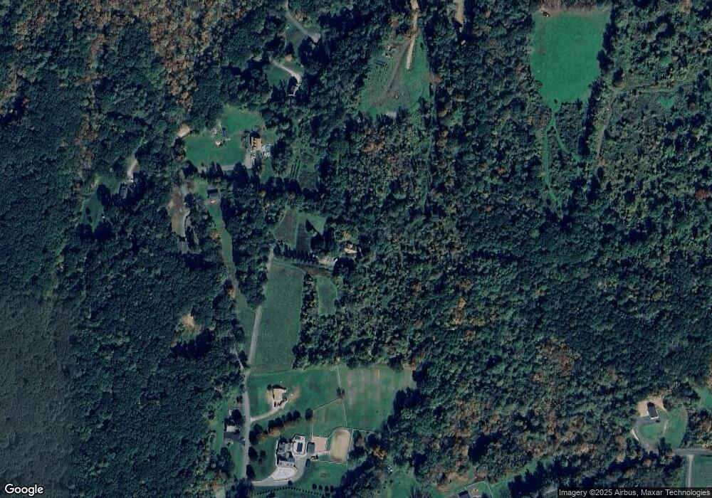
Map
Nearby Homes
- 38 Mount Pleasant St
- 61 Bates St
- 18-20 Old w Brookfield Rd
- 48 Mill Rd Lot 2e
- 12 Cushing St
- 39 Forest St
- 60 Gilbert St
- 8 Elm St
- 101 School St
- 10 Rufus Putnam Rd
- 10 Brookfield Rd
- 157 School St
- 4 E Brookfield Rd
- 8 Walker Rd
- 179 Pierce Rd
- 3 Town Farm Rd
- 0 Barr Rd
- 260 Wickaboag Valley Rd
- 11 Shea Rd
- 9 Birch Hill Rd
- 22 Smith Hanson Rd
- 24 Smith Hanson Rd
- 32 Smith Hanson Rd
- 27 Smith Hanson Rd
- 25 Smith Hanson Rd
- 12 Collins Rd
- 10 Collins Rd
- 34 Smith Hanson Rd
- 33 Smith Hanson Rd
- 21 Smith Hanson Rd
- Lot 2 Collins Rd
- 8 Collins Rd
- 45 Waite Corner Rd
- 4 Collins Rd
- 22 Bigelow Rd
- 36 Smith Hanson Rd
- 6 Collins Rd
- LOT R Collins Rd
- LOT 1 Collins Rd
- 30 Bigelow Rd