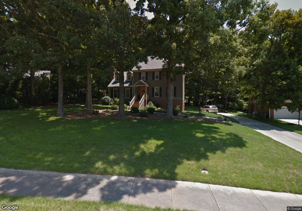
28 Southampton Place Durham, NC 27705
Croasdaile NeighborhoodEstimated Value: $563,000 - $694,000
3
Beds
3
Baths
2,472
Sq Ft
$250/Sq Ft
Est. Value
About This Home
This home is located at 28 Southampton Place, Durham, NC 27705 and is currently estimated at $617,784, approximately $249 per square foot. 28 Southampton Place is a home located in Durham County with nearby schools including Hillandale Elementary School, George L Carrington Middle, and Riverside High School.
Ownership History
Date
Name
Owned For
Owner Type
Purchase Details
Closed on
Jun 2, 2016
Sold by
Morgan Richard N
Bought by
Yates Kelly and Hiremath Ameet
Current Estimated Value
Home Financials for this Owner
Home Financials are based on the most recent Mortgage that was taken out on this home.
Original Mortgage
$247,200
Outstanding Balance
$196,808
Interest Rate
3.58%
Mortgage Type
New Conventional
Estimated Equity
$420,976
Create a Home Valuation Report for This Property
The Home Valuation Report is an in-depth analysis detailing your home's value as well as a comparison with similar homes in the area
Home Values in the Area
Average Home Value in this Area
Purchase History
| Date | Buyer | Sale Price | Title Company |
|---|---|---|---|
| Yates Kelly | $309,000 | -- |
Source: Public Records
Mortgage History
| Date | Status | Borrower | Loan Amount |
|---|---|---|---|
| Open | Yates Kelly | $247,200 |
Source: Public Records
Tax History Compared to Growth
Tax History
| Year | Tax Paid | Tax Assessment Tax Assessment Total Assessment is a certain percentage of the fair market value that is determined by local assessors to be the total taxable value of land and additions on the property. | Land | Improvement |
|---|---|---|---|---|
| 2025 | $4,391 | $623,907 | $165,375 | $458,532 |
| 2024 | $4,391 | $314,809 | $66,285 | $248,524 |
| 2023 | $4,124 | $314,809 | $66,285 | $248,524 |
| 2022 | $4,029 | $314,809 | $66,285 | $248,524 |
| 2021 | $4,010 | $314,809 | $66,285 | $248,524 |
| 2020 | $3,916 | $314,809 | $66,285 | $248,524 |
| 2019 | $3,916 | $314,809 | $66,285 | $248,524 |
| 2018 | $4,080 | $300,775 | $51,555 | $249,220 |
| 2017 | $4,050 | $300,775 | $51,555 | $249,220 |
| 2016 | $3,913 | $300,775 | $51,555 | $249,220 |
| 2015 | $3,853 | $278,307 | $53,300 | $225,007 |
| 2014 | $3,853 | $278,307 | $53,300 | $225,007 |
Source: Public Records
Map
Nearby Homes
- 1417 Colewood Dr
- Collins Plan at Stonewood Estates - Legacy
- Fisher Plan at Stonewood Estates - Landmark
- Winston Plan at Stonewood Estates - Landmark
- Mitchell Plan at Stonewood Estates - Landmark
- Hatteras Plan at Stonewood Estates - Landmark
- Elizabeth Plan at Stonewood Estates - Legacy
- Alexander Plan at Stonewood Estates - Legacy
- Dillon Plan at Stonewood Estates - Legacy
- 1100 Balsawood Dr
- 105 Hay Sedge Ct
- 2100 Skipping Stone Dr
- 2020 Skipping Stone Dr
- 4219 Berini Dr
- 1709 Faison Rd
- 3 Greenway Cir
- 2005 Cole Mill Rd
- 3726 Foxwood Place
- 3 White Ash Dr
- 1214 E Oak Dr
- 26 Southampton Place
- 30 Southampton Place
- 1413 Colewood Dr
- 1423 Colewood Dr
- 24 Southampton Place
- 27 Southampton Place
- 32 Southampton Place
- 1429 Colewood Dr
- 23 Southampton Place
- 1409 Colewood Dr
- 31 Southampton Place
- 22 Southampton Place
- 1433 Colewood Dr
- 4010 Berini Dr
- 17 Southampton Place
- 8 Lanecrest Place
- 1405 Colewood Dr
- 18 Southampton Place
- 916 Kimball Dr
- 1418 Colewood Dr