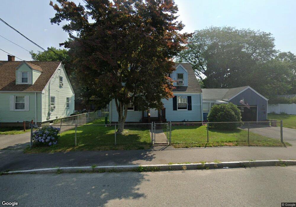
28 Sterling Rd Brockton, MA 02302
Estimated Value: $433,000 - $469,633
3
Beds
1
Bath
1,092
Sq Ft
$416/Sq Ft
Est. Value
About This Home
This home is located at 28 Sterling Rd, Brockton, MA 02302 and is currently estimated at $454,158, approximately $415 per square foot. 28 Sterling Rd is a home located in Plymouth County with nearby schools including Brookfield Elementary School, Mary E. Baker Elementary School, and Downey Elementary School.
Create a Home Valuation Report for This Property
The Home Valuation Report is an in-depth analysis detailing your home's value as well as a comparison with similar homes in the area
Home Values in the Area
Average Home Value in this Area
Tax History Compared to Growth
Tax History
| Year | Tax Paid | Tax Assessment Tax Assessment Total Assessment is a certain percentage of the fair market value that is determined by local assessors to be the total taxable value of land and additions on the property. | Land | Improvement |
|---|---|---|---|---|
| 2025 | $4,748 | $392,100 | $140,800 | $251,300 |
| 2024 | $4,488 | $373,400 | $140,800 | $232,600 |
| 2023 | $4,259 | $328,100 | $107,700 | $220,400 |
| 2022 | $4,163 | $298,000 | $97,900 | $200,100 |
| 2021 | $3,879 | $267,500 | $82,100 | $185,400 |
| 2020 | $3,698 | $244,100 | $76,200 | $167,900 |
| 2019 | $3,643 | $234,400 | $74,100 | $160,300 |
| 2018 | $25,495 | $216,200 | $74,100 | $142,100 |
| 2017 | $2,988 | $185,600 | $74,100 | $111,500 |
| 2016 | $3,035 | $174,800 | $72,000 | $102,800 |
| 2015 | $2,690 | $148,200 | $72,000 | $76,200 |
| 2014 | $2,656 | $146,500 | $72,000 | $74,500 |
Source: Public Records
Map
Nearby Homes
- 24 Sterling Rd
- 38 Sterling Rd
- 29 Crosby Rd
- 20 Sterling Rd
- 21 Crosby Rd
- 35 Crosby Rd
- 16 Sterling Rd
- 00 Alexander St Unit lot 25
- 00 Alexander St Unit lot 10
- 0 Alexander St
- 31 Sterling Rd
- 27 Sterling Rd
- 6 Alexander St Unit 1
- 35 Sterling Rd
- 23 Sterling Rd
- 12 Alexandra's Way
- 50 Sterling Rd
- 12 Sterling Rd
- 19 Sterling Rd
- 11 Whitman St