Estimated Value: $58,000 - $136,000
Studio
1
Bath
1,053
Sq Ft
$82/Sq Ft
Est. Value
About This Home
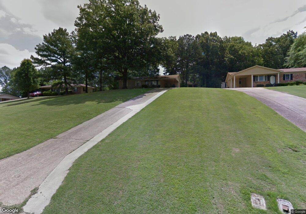
This home is located at 28 Sunset Dr, Wynne, AR 72396 and is currently estimated at $86,333, approximately $81 per square foot. 28 Sunset Dr is a home located in Cross County with nearby schools including Wynne Intermediate School, Wynne Primary School, and Wynne Junior High School.
Ownership History
Date
Name
Owned For
Owner Type
Purchase Details
Closed on
May 7, 2024
Sold by
Fowler Billy Wayne and Fowler Deborah Kay
Bought by
Hess Perry
Current Estimated Value
Purchase Details
Closed on
May 9, 2023
Sold by
Kelley Jimmy Ward
Bought by
Fowler Billy Wayne and Fowler Deborah Kay
Purchase Details
Closed on
Mar 20, 2013
Sold by
Hess Albert A
Bought by
Albert Hess Revocable Living Trust
Purchase Details
Closed on
Sep 29, 2009
Sold by
Hess Albert and Hess Barbara
Bought by
Matthews Terris and Matthews Kim
Purchase Details
Closed on
Apr 14, 2005
Sold by
Hess Albert
Bought by
Matthews Terris
Create a Home Valuation Report for This Property
The Home Valuation Report is an in-depth analysis detailing your home's value as well as a comparison with similar homes in the area
Purchase History
| Date | Buyer | Sale Price | Title Company |
|---|---|---|---|
| Hess Perry | $21,000 | Janus Title | |
| Fowler Billy Wayne | $10,000 | None Listed On Document | |
| Albert Hess Revocable Living Trust | -- | None Available | |
| Matthews Terris | -- | None Available | |
| Matthews Terris | -- | None Available |
Source: Public Records
Tax History
| Year | Tax Paid | Tax Assessment Tax Assessment Total Assessment is a certain percentage of the fair market value that is determined by local assessors to be the total taxable value of land and additions on the property. | Land | Improvement |
|---|---|---|---|---|
| 2025 | $328 | $6,630 | $6,630 | $0 |
| 2024 | $242 | $4,900 | $4,900 | $0 |
| 2023 | $243 | $4,900 | $4,900 | $0 |
| 2022 | $788 | $15,920 | $4,900 | $11,020 |
| 2021 | $788 | $15,920 | $4,900 | $11,020 |
| 2020 | $752 | $15,920 | $4,900 | $11,020 |
| 2019 | $684 | $13,810 | $4,060 | $9,750 |
| 2018 | $684 | $13,810 | $4,060 | $9,750 |
| 2017 | $684 | $13,810 | $4,060 | $9,750 |
| 2016 | $684 | $13,810 | $4,060 | $9,750 |
| 2015 | $684 | $13,810 | $4,060 | $9,750 |
| 2014 | $717 | $14,480 | $4,940 | $9,540 |
Source: Public Records
Map
Nearby Homes
- 39 Morningside Dr
- 1011 Hilltop Dr
- 1201 Peterson Dr
- 1008 Killough Rd N
- 909 Killough Rd N
- 1310 Forrest Ave E
- 205 Kerry Dr
- 12 Wynnewood Dr N
- 1930 Airpark Rd
- 594 Malone St N
- 1308 Killough Rd N
- 1420 Hamilton Ave E
- 1112 Poplar Ave E
- 1621 Dodd Dr
- 1003 Oakwood Dr
- 108 Nathan Dr E
- 1405 Peterson Rd
- 109 Nathan Dr E
- 1106 Marion Dr
- 621 Lemons St N
Your Personal Tour Guide
Ask me questions while you tour the home.