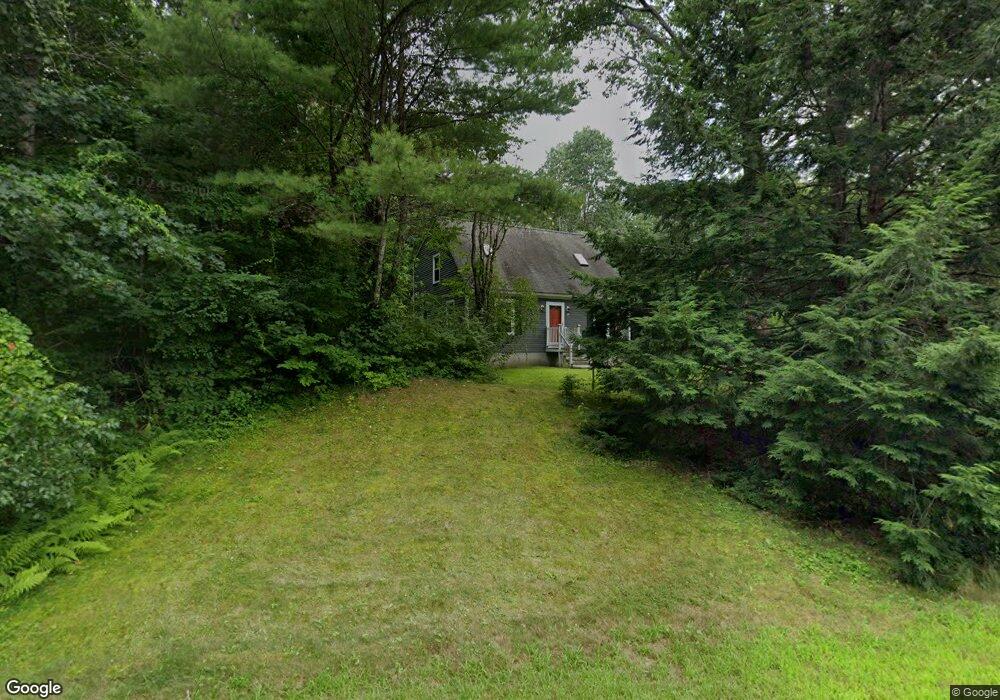
28 Tamarack Rd Lee, NH 03861
Estimated Value: $497,596 - $567,000
3
Beds
2
Baths
1,456
Sq Ft
$359/Sq Ft
Est. Value
About This Home
This home is located at 28 Tamarack Rd, Lee, NH 03861 and is currently estimated at $523,399, approximately $359 per square foot. 28 Tamarack Rd is a home located in Strafford County with nearby schools including Mast Way School, Oyster River Middle School, and Oyster River High School.
Ownership History
Date
Name
Owned For
Owner Type
Purchase Details
Closed on
Apr 21, 2016
Sold by
Lindsey M Archila
Bought by
Buchbinder Orly and Buchbinder Albert
Current Estimated Value
Home Financials for this Owner
Home Financials are based on the most recent Mortgage that was taken out on this home.
Original Mortgage
$216,000
Outstanding Balance
$169,206
Interest Rate
3.59%
Estimated Equity
$354,193
Purchase Details
Closed on
Mar 3, 2009
Sold by
Johnston Ralph M and Johnston Carol A
Bought by
Archila Lindsey M
Home Financials for this Owner
Home Financials are based on the most recent Mortgage that was taken out on this home.
Original Mortgage
$198,831
Interest Rate
5%
Mortgage Type
Purchase Money Mortgage
Create a Home Valuation Report for This Property
The Home Valuation Report is an in-depth analysis detailing your home's value as well as a comparison with similar homes in the area
Home Values in the Area
Average Home Value in this Area
Purchase History
| Date | Buyer | Sale Price | Title Company |
|---|---|---|---|
| Buchbinder Orly | -- | -- | |
| Archila Lindsey M | $202,500 | -- |
Source: Public Records
Mortgage History
| Date | Status | Borrower | Loan Amount |
|---|---|---|---|
| Open | Archila Lindsey M | $216,000 | |
| Closed | Archila Lindsey M | -- | |
| Previous Owner | Archila Lindsey M | $186,800 | |
| Previous Owner | Archila Lindsey M | $198,831 | |
| Previous Owner | Archila Lindsey M | $220,500 |
Source: Public Records
Tax History
| Year | Tax Paid | Tax Assessment Tax Assessment Total Assessment is a certain percentage of the fair market value that is determined by local assessors to be the total taxable value of land and additions on the property. | Land | Improvement |
|---|---|---|---|---|
| 2025 | $9,302 | $336,900 | $193,100 | $143,800 |
| 2024 | $8,682 | $336,900 | $193,100 | $143,800 |
| 2023 | $7,961 | $336,900 | $193,100 | $143,800 |
| 2022 | $7,317 | $336,900 | $193,100 | $143,800 |
| 2021 | $7,334 | $336,900 | $193,100 | $143,800 |
| 2020 | $5,948 | $186,700 | $77,400 | $109,300 |
| 2019 | $5,879 | $186,700 | $77,400 | $109,300 |
| 2018 | $5,640 | $184,500 | $77,400 | $107,100 |
| 2017 | $5,524 | $184,500 | $77,400 | $107,100 |
| 2016 | $5,397 | $184,500 | $77,400 | $107,100 |
| 2015 | $5,441 | $186,000 | $71,900 | $114,100 |
| 2014 | $5,524 | $186,000 | $71,900 | $114,100 |
| 2012 | $5,569 | $186,000 | $71,900 | $114,100 |
Source: Public Records
Map
Nearby Homes
- 125 Kelsey Rd
- 373 Calef Hwy
- Lot 3 Fields at Mill Pond Rd Unit 3
- Lot 2 Fields at Mill Pond Rd Unit 2
- 67 Demeritt Ave
- 12 Spencer Ln
- Map 23 Lot 11-23 Frederick Ln
- Map 23 Ln
- Map 23 Lot 11-22 Frederick Ln
- 1 Mast Rd
- 152 S Summer St
- 21 Little River Rd
- 33 Mccrillis Rd
- 3 Federal Hill Ln
- 20 Owl Ln
- Lot 1N-7 Lipizzan Dr
- TBD Old Concord Turnpike
- 50 James Farm Rd
- 319 Old Concord Turnpike
- 00 Old Concord Turnpike Us Rt 4 Rd Unit 2
Your Personal Tour Guide
Ask me questions while you tour the home.