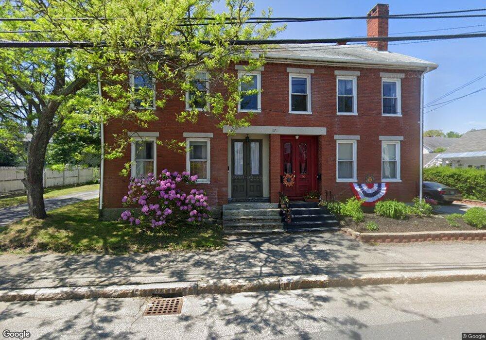
28 Thornton Ave Saco, ME 04072
Downtown Saco NeighborhoodEstimated Value: $403,000 - $465,295
3
Beds
2
Baths
2,448
Sq Ft
$174/Sq Ft
Est. Value
About This Home
This home is located at 28 Thornton Ave, Saco, ME 04072 and is currently estimated at $425,074, approximately $173 per square foot. 28 Thornton Ave is a home located in York County with nearby schools including C K Burns School, Saco Middle School, and Saint James School.
Ownership History
Date
Name
Owned For
Owner Type
Purchase Details
Closed on
Oct 22, 2014
Sold by
Nickless Peter
Bought by
Niccolini Adam and Niccolini Martha D
Current Estimated Value
Home Financials for this Owner
Home Financials are based on the most recent Mortgage that was taken out on this home.
Original Mortgage
$122,725
Outstanding Balance
$94,087
Interest Rate
4.1%
Mortgage Type
FHA
Estimated Equity
$330,987
Purchase Details
Closed on
Jun 20, 2005
Sold by
Panus Llc
Bought by
Dent Candi L
Create a Home Valuation Report for This Property
The Home Valuation Report is an in-depth analysis detailing your home's value as well as a comparison with similar homes in the area
Home Values in the Area
Average Home Value in this Area
Purchase History
| Date | Buyer | Sale Price | Title Company |
|---|---|---|---|
| Niccolini Adam | -- | -- | |
| Dent Candi L | -- | -- |
Source: Public Records
Mortgage History
| Date | Status | Borrower | Loan Amount |
|---|---|---|---|
| Open | Niccolini Adam | $122,725 |
Source: Public Records
Tax History Compared to Growth
Tax History
| Year | Tax Paid | Tax Assessment Tax Assessment Total Assessment is a certain percentage of the fair market value that is determined by local assessors to be the total taxable value of land and additions on the property. | Land | Improvement |
|---|---|---|---|---|
| 2024 | $4,327 | $308,000 | $96,800 | $211,200 |
| 2023 | $4,543 | $308,000 | $96,800 | $211,200 |
| 2022 | $4,077 | $222,400 | $73,800 | $148,600 |
| 2021 | $3,993 | $211,500 | $68,300 | $143,200 |
| 2020 | $3,785 | $192,400 | $60,100 | $132,300 |
| 2019 | $3,729 | $192,400 | $60,100 | $132,300 |
| 2018 | $3,624 | $187,000 | $54,700 | $132,300 |
| 2017 | $3,413 | $176,100 | $54,700 | $121,400 |
| 2016 | $3,204 | $165,000 | $43,200 | $121,800 |
| 2015 | $3,141 | $163,400 | $43,200 | $120,200 |
| 2014 | $3,043 | $163,400 | $43,200 | $120,200 |
| 2013 | $3,036 | $163,400 | $43,200 | $120,200 |
Source: Public Records
Map
Nearby Homes
- 9 Cross St
- 18 Free St
- 117 Temple St
- 143 Pleasant St
- 372 Main St Unit 201
- 26 Upper Falls Rd Unit 107
- 26 Upper Falls Rd Unit 108
- 00 Sawyer St
- 24 Dyer St
- 20 Upper Falls Rd Unit 501
- 20 Upper Falls Rd Unit 403
- 15 Isle Ave Unit 102
- 1 Saco Island Terrace Unit 105
- 1 Saco Island Terrace Unit 337
- 1 Saco Island Terrace Unit 332
- 6 Maple St
- 22 James St
- 4 Westward Ln
- 32 Park St
- 2 Main St Unit 17-506
- 30 Thornton Ave
- 30 Thornton Ave Unit R
- 31 Pleasant St
- 29 Pleasant St
- 29 Pleasant St
- 36 Thornton Ave
- 29 Thornton Ave
- 41 Pleasant St
- 43 Pleasant St
- 23 Thornton Ave
- 47 Pleasant St
- 35 Thornton Ave
- 34 Pleasant St
- 38 Pleasant St
- 17 Thornton Ave
- 40 Pleasant St
- 42 Thornton Ave
- 42 Thornton Ave Unit 3
- 53 Pleasant St
- 20 Cutts Ave