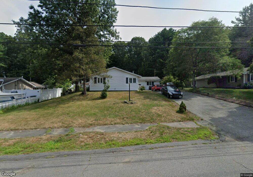
28 Trask Rd Peabody, MA 01960
Estimated Value: $645,000 - $704,000
3
Beds
2
Baths
1,728
Sq Ft
$386/Sq Ft
Est. Value
About This Home
This home is located at 28 Trask Rd, Peabody, MA 01960 and is currently estimated at $666,659, approximately $385 per square foot. 28 Trask Rd is a home located in Essex County with nearby schools including Peabody Veterans Memorial High School and St John The Baptist School.
Ownership History
Date
Name
Owned For
Owner Type
Purchase Details
Closed on
Jun 15, 2018
Sold by
Flammia Robert
Bought by
Calbayar Victoria
Current Estimated Value
Home Financials for this Owner
Home Financials are based on the most recent Mortgage that was taken out on this home.
Original Mortgage
$348,570
Outstanding Balance
$302,264
Interest Rate
4.62%
Mortgage Type
FHA
Estimated Equity
$364,395
Purchase Details
Closed on
Sep 2, 2004
Sold by
Flammia Grace A and Flammia Robert
Bought by
Flammia Robert
Purchase Details
Closed on
May 24, 1993
Sold by
Farrar R Lee and First Colonial Bk Svg
Bought by
Fhlmc
Create a Home Valuation Report for This Property
The Home Valuation Report is an in-depth analysis detailing your home's value as well as a comparison with similar homes in the area
Purchase History
| Date | Buyer | Sale Price | Title Company |
|---|---|---|---|
| Calbayar Victoria | $355,000 | -- | |
| Flammia Robert | $95,000 | -- | |
| Fhlmc | $134,000 | -- |
Source: Public Records
Mortgage History
| Date | Status | Borrower | Loan Amount |
|---|---|---|---|
| Open | Calbayar Victoria | $348,570 | |
| Previous Owner | Fhlmc | $306,000 |
Source: Public Records
Tax History
| Year | Tax Paid | Tax Assessment Tax Assessment Total Assessment is a certain percentage of the fair market value that is determined by local assessors to be the total taxable value of land and additions on the property. | Land | Improvement |
|---|---|---|---|---|
| 2025 | $5,161 | $557,300 | $321,100 | $236,200 |
| 2024 | $4,997 | $547,900 | $321,100 | $226,800 |
| 2023 | $4,830 | $507,400 | $267,600 | $239,800 |
| 2022 | $4,626 | $458,000 | $232,700 | $225,300 |
| 2021 | $4,264 | $406,500 | $211,600 | $194,900 |
| 2020 | $4,375 | $407,400 | $211,600 | $195,800 |
| 2019 | $4,216 | $382,900 | $211,600 | $171,300 |
| 2018 | $3,813 | $332,700 | $188,900 | $143,800 |
| 2017 | $3,535 | $300,600 | $188,900 | $111,700 |
| 2016 | $3,607 | $302,600 | $188,900 | $113,700 |
| 2015 | $3,504 | $284,900 | $188,900 | $96,000 |
Source: Public Records
Map
Nearby Homes
- 23 Tamarack Ln Unit 23
- 55 Hawthorne Cir
- 4 Price Rd
- 21 Olsen Rd
- 21 Forest St
- 500 Northshore Rd Unit 6B
- 14 Raylen Ave
- 4R Forest St
- 233 Lowell St Unit 1
- 59 Nancy Ave
- 38-1/2 Ellsworth Rd
- 158 Lowell St Unit 4
- 11 Andover St
- 9 Ledgewood Way Unit 6
- 12 Ledgewood Way Unit 8
- 8 Ledgewood Way Unit 20
- 10 Crowninshield St Unit 303
- 6 Rear Perkins St
- 8 Crowninshield St Unit 410
- 21 Oak Leaf Way
Your Personal Tour Guide
Ask me questions while you tour the home.