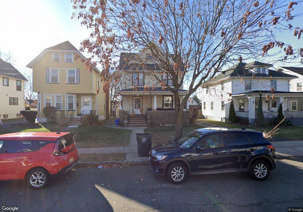
28 W High St Bound Brook, NJ 08805
Estimated Value: $542,735 - $586,000
--
Bed
--
Bath
1,751
Sq Ft
$322/Sq Ft
Est. Value
About This Home
This home is located at 28 W High St, Bound Brook, NJ 08805 and is currently estimated at $563,684, approximately $321 per square foot. 28 W High St is a home located in Somerset County with nearby schools including LaMonte Annex Elementary School, Lafayette Elementary School, and Bound Brook High School.
Ownership History
Date
Name
Owned For
Owner Type
Purchase Details
Closed on
May 8, 2009
Sold by
Suk Cecilia A
Bought by
Suk James J and Hlavsa Suk Dawn E
Current Estimated Value
Home Financials for this Owner
Home Financials are based on the most recent Mortgage that was taken out on this home.
Original Mortgage
$162,800
Interest Rate
5.36%
Mortgage Type
FHA
Create a Home Valuation Report for This Property
The Home Valuation Report is an in-depth analysis detailing your home's value as well as a comparison with similar homes in the area
Home Values in the Area
Average Home Value in this Area
Purchase History
| Date | Buyer | Sale Price | Title Company |
|---|---|---|---|
| Suk James J | $200,000 | Fidelity Natl Title Ins Co |
Source: Public Records
Mortgage History
| Date | Status | Borrower | Loan Amount |
|---|---|---|---|
| Closed | Suk James J | $162,800 |
Source: Public Records
Tax History Compared to Growth
Tax History
| Year | Tax Paid | Tax Assessment Tax Assessment Total Assessment is a certain percentage of the fair market value that is determined by local assessors to be the total taxable value of land and additions on the property. | Land | Improvement |
|---|---|---|---|---|
| 2025 | $10,469 | $488,300 | $238,000 | $250,300 |
| 2024 | $10,469 | $461,400 | $218,000 | $243,400 |
| 2023 | $10,274 | $435,700 | $198,000 | $237,700 |
| 2022 | $10,057 | $404,200 | $178,000 | $226,200 |
| 2021 | $8,112 | $311,200 | $118,000 | $193,200 |
| 2020 | $8,347 | $270,400 | $93,000 | $177,400 |
| 2019 | $8,112 | $250,600 | $83,000 | $167,600 |
| 2018 | $8,772 | $263,100 | $73,000 | $190,100 |
| 2017 | $8,862 | $259,800 | $73,000 | $186,800 |
| 2016 | $7,578 | $238,800 | $38,000 | $200,800 |
| 2015 | $6,698 | $217,300 | $48,000 | $169,300 |
| 2014 | $6,935 | $217,300 | $48,000 | $169,300 |
Source: Public Records
Map
Nearby Homes
- 102 W Franklin St
- 126 W High St
- 130 W High St Unit 132
- 2 Drake St
- 320 Church St
- 40 van Keuren Ave Unit 42
- 34 van Keuren Ave Unit 38
- 112-114 E Union Ave
- 112 E Union Ave
- 14 E Maple Ave
- 520 Winsor St
- 112 East St
- 307 W Union Ave
- 563 Winsor St
- 105 La Monte Ave
- 650 Central Ave
- 432 Talmage Ave
- 512 W 2nd St
- 165 Prospect St
- 542 Wheatland Ave
- 30 W High St
- 26 W High St
- 34 W High St
- 20 W High St
- 36 W High St
- 16 W High St Unit 18
- 36 W 2nd St Unit 38
- 42 W 2nd St
- 32 W 2nd St Unit 34
- 32 W 2nd St Unit Left
- 38 W High St
- 44 W 2nd St Unit 46
- 28 W 2nd St Unit 30
- 28 W 2nd St Unit 2
- 28-30 W 2nd St
- 32-34 W 2nd St
- 34 W 2nd St
- 48 W 2nd St Unit 50
- 25 W High St
- 25 W High St Unit 1