28 W Rim Dr Kimberling City, MO 65686
Estimated Value: $334,000 - $546,534
--
Bed
--
Bath
1,992
Sq Ft
$241/Sq Ft
Est. Value
About This Home
This home is located at 28 W Rim Dr, Kimberling City, MO 65686 and is currently estimated at $479,384, approximately $240 per square foot. 28 W Rim Dr is a home with nearby schools including Reeds Spring Primary School, Reeds Spring Middle School, and Reeds Spring Intermediate School.
Ownership History
Date
Name
Owned For
Owner Type
Purchase Details
Closed on
Jan 18, 2024
Sold by
Dunagan William D and Dunagan Robin L
Bought by
Dunagan Qualified Spousal Trust
Current Estimated Value
Purchase Details
Closed on
Mar 22, 2022
Sold by
Lynn Dunagan Robin
Bought by
Dunagan Robin Lynn and Dunagan William David
Home Financials for this Owner
Home Financials are based on the most recent Mortgage that was taken out on this home.
Original Mortgage
$502,000
Interest Rate
4.16%
Mortgage Type
New Conventional
Purchase Details
Closed on
Mar 8, 2022
Sold by
Dunagan Robin L
Bought by
Zacher Susan M
Home Financials for this Owner
Home Financials are based on the most recent Mortgage that was taken out on this home.
Original Mortgage
$502,000
Interest Rate
4.16%
Mortgage Type
New Conventional
Create a Home Valuation Report for This Property
The Home Valuation Report is an in-depth analysis detailing your home's value as well as a comparison with similar homes in the area
Home Values in the Area
Average Home Value in this Area
Purchase History
| Date | Buyer | Sale Price | Title Company |
|---|---|---|---|
| Dunagan Qualified Spousal Trust | -- | None Listed On Document | |
| Dunagan Robin Lynn | -- | None Listed On Document | |
| Zacher Susan M | -- | None Listed On Document |
Source: Public Records
Mortgage History
| Date | Status | Borrower | Loan Amount |
|---|---|---|---|
| Previous Owner | Dunagan Robin Lynn | $502,000 |
Source: Public Records
Tax History Compared to Growth
Tax History
| Year | Tax Paid | Tax Assessment Tax Assessment Total Assessment is a certain percentage of the fair market value that is determined by local assessors to be the total taxable value of land and additions on the property. | Land | Improvement |
|---|---|---|---|---|
| 2025 | $2,692 | $54,950 | -- | -- |
| 2024 | $2,688 | $54,950 | -- | -- |
| 2023 | $2,688 | $54,950 | $0 | $0 |
| 2022 | $2,673 | $54,940 | $0 | $0 |
| 2021 | $2,705 | $54,940 | $0 | $0 |
| 2020 | $690 | $15,900 | $0 | $0 |
| 2019 | $10 | $240 | $0 | $0 |
| 2018 | $11 | $240 | $0 | $0 |
| 2017 | $11 | $260 | $0 | $0 |
Source: Public Records
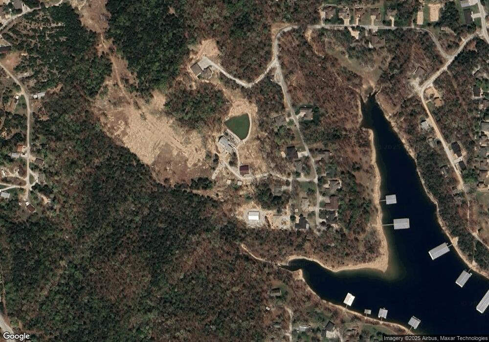
Map
Nearby Homes
- 574 Edgewater Estates
- 60 Montego Dr
- 90 Brandon Loop
- 201 Deer Park Cir
- 32 Homewood Ln
- 64 Deer Park Cir
- 65 Royale Estates Rd Unit Lot 29
- 214 / 196 Hoot Owl Point
- 51 Cherokee Dr
- 139 Cherokee Dr
- 220 Bittersweet Cir
- 44 Bittersweet Cir
- Lots 19/3 Overlook
- 78 Elm Point Ln
- 1073 Stone Rd
- Lot 37-39 Cardinal Cove Ln
- 17 Montague Ln
- 379 Navajo Trail
- 532 Bonanza Dr
- 500 Navajo Trail
- 33 W Rim Dr
- 649 Edgewater Estates
- 79 W Rim Dr
- 667 Edgewater Estates
- 715 Edgewater Estates
- 599 Edgewater Estate
- 10, Lot Edgewater Estates
- 8a Edgewater Estates
- Lot 8a Edgewater Estates
- Lot 25 Edgewater Estates
- Lot 30-A Edgewater Estates
- Lot 9 Edgewater Estates
- Lot 19 Edgewater Estates
- Lot 8 Edgewater Estates
- Lot 6-A Edgewater Estates
- Lot 27 Edgewater Estates
- 735 Edgewater Estates
- 658 Edgewater Estate
- 690 Edgewater Estate
- 676 Edgewater Estate