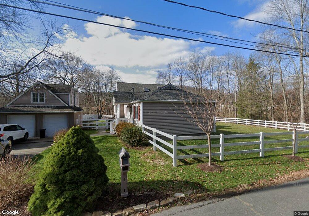
28 Watts Ave Denville, NJ 07834
Estimated Value: $652,000 - $724,000
--
Bed
--
Bath
1,672
Sq Ft
$406/Sq Ft
Est. Value
About This Home
This home is located at 28 Watts Ave, Denville, NJ 07834 and is currently estimated at $679,325, approximately $406 per square foot. 28 Watts Ave is a home located in Morris County with nearby schools including Intervale Elementary School, Brooklawn Middle School, and Parsippany Hills High School.
Ownership History
Date
Name
Owned For
Owner Type
Purchase Details
Closed on
Sep 25, 2008
Sold by
Ustica Giuseppe S and Ustica Dawn
Bought by
Ball Brett and Hsieh Meng Chin
Current Estimated Value
Home Financials for this Owner
Home Financials are based on the most recent Mortgage that was taken out on this home.
Original Mortgage
$351,614
Outstanding Balance
$233,816
Interest Rate
6.43%
Mortgage Type
Purchase Money Mortgage
Estimated Equity
$445,509
Purchase Details
Closed on
Mar 21, 2005
Sold by
Webb Raymond
Bought by
Ustica Giuseppe and Ustica Dawn
Home Financials for this Owner
Home Financials are based on the most recent Mortgage that was taken out on this home.
Original Mortgage
$42,500
Interest Rate
5.61%
Mortgage Type
Credit Line Revolving
Purchase Details
Closed on
May 18, 1995
Sold by
Dailey Mabel and Webb Bertha M
Bought by
Webb Raymond B and Webb Tracy
Create a Home Valuation Report for This Property
The Home Valuation Report is an in-depth analysis detailing your home's value as well as a comparison with similar homes in the area
Home Values in the Area
Average Home Value in this Area
Purchase History
| Date | Buyer | Sale Price | Title Company |
|---|---|---|---|
| Ball Brett | $439,518 | None Available | |
| Ustica Giuseppe | $425,000 | -- | |
| Webb Raymond B | $128,000 | -- |
Source: Public Records
Mortgage History
| Date | Status | Borrower | Loan Amount |
|---|---|---|---|
| Open | Ball Brett | $351,614 | |
| Previous Owner | Ustica Giuseppe | $42,500 | |
| Previous Owner | Ustica Giuseppe | $340,000 |
Source: Public Records
Tax History Compared to Growth
Tax History
| Year | Tax Paid | Tax Assessment Tax Assessment Total Assessment is a certain percentage of the fair market value that is determined by local assessors to be the total taxable value of land and additions on the property. | Land | Improvement |
|---|---|---|---|---|
| 2025 | $10,521 | $303,200 | $184,600 | $118,600 |
| 2024 | $10,330 | $303,200 | $184,600 | $118,600 |
| 2023 | $10,330 | $303,200 | $184,600 | $118,600 |
| 2022 | $9,666 | $303,200 | $184,600 | $118,600 |
| 2021 | $9,666 | $303,200 | $184,600 | $118,600 |
| 2020 | $9,463 | $303,200 | $184,600 | $118,600 |
| 2019 | $9,208 | $303,200 | $184,600 | $118,600 |
| 2018 | $8,893 | $303,200 | $184,600 | $118,600 |
| 2017 | $8,696 | $303,200 | $184,600 | $118,600 |
| 2016 | $8,529 | $303,200 | $184,600 | $118,600 |
| 2015 | $8,314 | $303,200 | $184,600 | $118,600 |
| 2014 | $8,202 | $303,200 | $184,600 | $118,600 |
Source: Public Records
Map
Nearby Homes
- 41 Fox Run
- 290 Fox Hill Rd
- 24 Front St
- 78 North Place
- 26 Wesley Place
- 1466 Tabor Rd
- 22 Freeman Ave
- 25 Freeman Ave
- 27 Thurmont Rd
- 17 Freeman Ave
- 0 Estling Lake Rd
- 12 Weetucket Rd
- 35 Oakdale Rd
- 11 Whitewood Dr
- 5 Richwood Place
- 4 Longview Trail W
- 711 Park Rd
- 17 Hilltop Trail
- 1 Ironwood Dr
- 20 Longview Trail E