28 West Dr Marion, MA 02738
Estimated Value: $3,319,000 - $4,787,000
7
Beds
5
Baths
5,675
Sq Ft
$714/Sq Ft
Est. Value
About This Home
This home is located at 28 West Dr, Marion, MA 02738 and is currently estimated at $4,053,151, approximately $714 per square foot. 28 West Dr is a home located in Plymouth County with nearby schools including Old Rochester Regional High School.
Ownership History
Date
Name
Owned For
Owner Type
Purchase Details
Closed on
Jan 21, 2021
Sold by
Hughes Shirley J Est
Bought by
Barrington Samuel C and Barrington Theresa A
Current Estimated Value
Home Financials for this Owner
Home Financials are based on the most recent Mortgage that was taken out on this home.
Original Mortgage
$2,100,000
Outstanding Balance
$1,880,458
Interest Rate
2.9%
Mortgage Type
Purchase Money Mortgage
Estimated Equity
$2,172,693
Create a Home Valuation Report for This Property
The Home Valuation Report is an in-depth analysis detailing your home's value as well as a comparison with similar homes in the area
Purchase History
| Date | Buyer | Sale Price | Title Company |
|---|---|---|---|
| Barrington Samuel C | $3,000,000 | None Available |
Source: Public Records
Mortgage History
| Date | Status | Borrower | Loan Amount |
|---|---|---|---|
| Open | Barrington Samuel C | $2,100,000 |
Source: Public Records
Tax History
| Year | Tax Paid | Tax Assessment Tax Assessment Total Assessment is a certain percentage of the fair market value that is determined by local assessors to be the total taxable value of land and additions on the property. | Land | Improvement |
|---|---|---|---|---|
| 2025 | $33,323 | $3,575,388 | $2,254,388 | $1,321,000 |
| 2024 | $36,330 | $3,923,358 | $2,602,358 | $1,321,000 |
| 2023 | $37,649 | $3,988,258 | $2,602,358 | $1,385,900 |
| 2022 | $31,265 | $2,881,609 | $1,929,909 | $951,700 |
| 2021 | $30,250 | $2,672,291 | $2,059,491 | $612,800 |
| 2020 | $30,776 | $2,630,400 | $2,059,400 | $571,000 |
| 2019 | $29,013 | $2,630,400 | $2,059,400 | $571,000 |
| 2018 | $4,093 | $1,744,100 | $1,236,500 | $507,600 |
| 2017 | $19,900 | $1,744,100 | $1,236,500 | $507,600 |
| 2016 | $19,140 | $1,692,300 | $1,236,500 | $455,800 |
| 2015 | $18,801 | $1,692,300 | $1,236,500 | $455,800 |
Source: Public Records
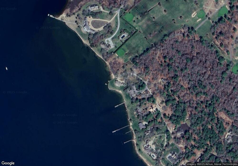
Map
Nearby Homes
- 25 Main St Unit 3
- 13 Cottage St
- 16 Vine St
- 5 Hermitage Rd
- 45 Front St
- 4 Blackhall Ct
- 245 Wareham Rd
- 0 Rd Unit 73474504
- 2 Quelle Ln
- 0 Register Rd
- 13 Fieldstone Ln
- 17 Fieldstone Ln
- 929 Point Rd
- 414 Point Rd
- 44 Register Rd
- 701 Mill St
- 703 Mill St
- 0 Cross Neck Rd Unit 73420524
- 0 Cross Neck Rd Unit 73466177
- 0 Cross Neck Rd Unit 73420525
- 24 West Dr
- 68 West Dr
- 83 Hammett's Cove Dr
- 83 Hammett's Cove Dr
- 83 Hammetts Cove Rd
- 14 West Dr
- 14A West Dr
- 22 West Dr
- 8 West Dr
- 4 West Dr
- 756 Point Rd
- 2 West Dr
- 86 Hammetts Cove Rd
- 2A West Dr
- 1 West Dr
- 91B Allens Point Rd
- 0 Indian Cove Rd L:34 Unit 70741313
- 91A Allens Point Rd
- 91 Allens Point Rd
- 89 Allens Point Rd
Your Personal Tour Guide
Ask me questions while you tour the home.