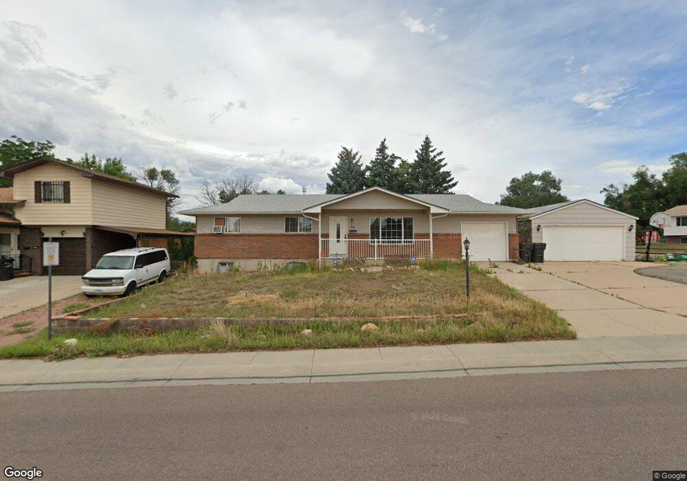
28 Willis Dr Colorado Springs, CO 80911
Fountain Valley Ranch NeighborhoodEstimated Value: $386,114 - $414,000
3
Beds
3
Baths
1,152
Sq Ft
$346/Sq Ft
Est. Value
About This Home
This home is located at 28 Willis Dr, Colorado Springs, CO 80911 and is currently estimated at $399,029, approximately $346 per square foot. 28 Willis Dr is a home located in El Paso County with nearby schools including Venetucci Elementary School, Watson Junior High School, and Widefield High School.
Ownership History
Date
Name
Owned For
Owner Type
Purchase Details
Closed on
Jul 3, 2017
Sold by
Madison Robert Charles and Madison Misti Lynn
Bought by
Watson Ty B and Watson Virginia A
Current Estimated Value
Home Financials for this Owner
Home Financials are based on the most recent Mortgage that was taken out on this home.
Original Mortgage
$193,000
Outstanding Balance
$160,614
Interest Rate
3.95%
Mortgage Type
New Conventional
Estimated Equity
$238,415
Purchase Details
Closed on
Jan 31, 2012
Sold by
Wenman Joan
Bought by
Madison Robert Charles and Madisonm Misti Lynn
Home Financials for this Owner
Home Financials are based on the most recent Mortgage that was taken out on this home.
Original Mortgage
$193,982
Interest Rate
3.95%
Mortgage Type
VA
Purchase Details
Closed on
Oct 6, 2011
Sold by
Lapp Richard Wilbur
Bought by
Wenman Joan
Purchase Details
Closed on
Nov 26, 1965
Bought by
Watson Virginia A
Create a Home Valuation Report for This Property
The Home Valuation Report is an in-depth analysis detailing your home's value as well as a comparison with similar homes in the area
Home Values in the Area
Average Home Value in this Area
Purchase History
| Date | Buyer | Sale Price | Title Company |
|---|---|---|---|
| Watson Ty B | $237,000 | Land Title Guarantee Co | |
| Madison Robert Charles | $189,900 | Unified Title Company | |
| Wenman Joan | $100,000 | Unified Title Company | |
| Watson Virginia A | -- | -- |
Source: Public Records
Mortgage History
| Date | Status | Borrower | Loan Amount |
|---|---|---|---|
| Open | Watson Ty B | $193,000 | |
| Previous Owner | Madison Robert Charles | $193,982 |
Source: Public Records
Tax History Compared to Growth
Tax History
| Year | Tax Paid | Tax Assessment Tax Assessment Total Assessment is a certain percentage of the fair market value that is determined by local assessors to be the total taxable value of land and additions on the property. | Land | Improvement |
|---|---|---|---|---|
| 2025 | $1,747 | $28,700 | -- | -- |
| 2024 | $1,695 | $28,650 | $4,020 | $24,630 |
| 2023 | $1,695 | $28,650 | $4,020 | $24,630 |
| 2022 | $1,456 | $20,890 | $2,780 | $18,110 |
| 2021 | $1,576 | $21,490 | $2,860 | $18,630 |
| 2020 | $1,358 | $18,160 | $2,500 | $15,660 |
| 2019 | $1,350 | $18,160 | $2,500 | $15,660 |
| 2018 | $1,104 | $13,920 | $1,870 | $12,050 |
| 2017 | $1,117 | $13,920 | $1,870 | $12,050 |
| 2016 | $910 | $14,100 | $1,990 | $12,110 |
| 2015 | $935 | $14,100 | $1,990 | $12,110 |
| 2014 | $886 | $13,480 | $1,790 | $11,690 |
Source: Public Records
Map
Nearby Homes
- 105 Easy St
- 80 Landoe Ln
- 89 Security Blvd
- 95 Landoe Ln
- 99 Security Blvd
- 101 Security Blvd
- 102 Landoe Ln
- 102 Security Blvd
- 141 Hayes Dr
- 45 N Amherst St
- 409 Kiva Rd
- 57 N Ely St
- 576 Lindstrom Dr
- 1065 Harbourne St
- 6224 Gossamer St
- 490 Dix Cir
- 1 N Dartmouth St
- 345 Libby Ct
- 128 Amherst St
- 110 Dartmouth St