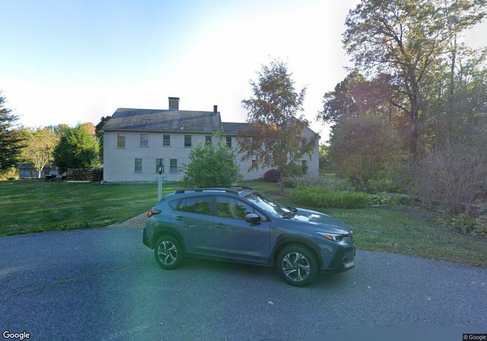
28 Willson Rd Princeton, MA 01541
Estimated Value: $888,133 - $1,704,000
5
Beds
3
Baths
4,988
Sq Ft
$245/Sq Ft
Est. Value
About This Home
This home is located at 28 Willson Rd, Princeton, MA 01541 and is currently estimated at $1,222,533, approximately $245 per square foot. 28 Willson Rd is a home located in Worcester County with nearby schools including Wachusett Regional High School.
Ownership History
Date
Name
Owned For
Owner Type
Purchase Details
Closed on
Feb 7, 2024
Sold by
Tinory Thomas
Bought by
Thomas Tinory Lt and Tinory
Current Estimated Value
Purchase Details
Closed on
Sep 25, 1997
Sold by
Schlaikjer Paul F
Bought by
Tinory Thomas and Hart Julia D
Home Financials for this Owner
Home Financials are based on the most recent Mortgage that was taken out on this home.
Original Mortgage
$190,000
Interest Rate
7.47%
Mortgage Type
Purchase Money Mortgage
Create a Home Valuation Report for This Property
The Home Valuation Report is an in-depth analysis detailing your home's value as well as a comparison with similar homes in the area
Home Values in the Area
Average Home Value in this Area
Purchase History
| Date | Buyer | Sale Price | Title Company |
|---|---|---|---|
| Thomas Tinory Lt | -- | None Available | |
| Tinory Thomas | $380,000 | -- |
Source: Public Records
Mortgage History
| Date | Status | Borrower | Loan Amount |
|---|---|---|---|
| Previous Owner | Tinory Thomas | $175,000 | |
| Previous Owner | Tinory Thomas | $190,000 |
Source: Public Records
Tax History
| Year | Tax Paid | Tax Assessment Tax Assessment Total Assessment is a certain percentage of the fair market value that is determined by local assessors to be the total taxable value of land and additions on the property. | Land | Improvement |
|---|---|---|---|---|
| 2025 | $11,518 | $792,700 | $195,800 | $596,900 |
| 2024 | $10,870 | $774,800 | $195,800 | $579,000 |
| 2023 | $10,170 | $671,700 | $156,000 | $515,700 |
| 2022 | $9,775 | $623,400 | $156,000 | $467,400 |
| 2021 | $28 | $603,800 | $159,100 | $444,700 |
| 2020 | $29 | $581,800 | $159,100 | $422,700 |
| 2019 | $9,199 | $574,200 | $155,900 | $418,300 |
| 2018 | $9,037 | $523,000 | $145,500 | $377,500 |
| 2017 | $32 | $470,000 | $167,400 | $302,600 |
| 2016 | $8,366 | $470,000 | $167,400 | $302,600 |
| 2015 | $8,070 | $466,500 | $169,800 | $296,700 |
Source: Public Records
Map
Nearby Homes
- 134 Mountain Rd
- 20 Mountain Rd
- 19 Hubbardston Rd
- 13 Goodnow Rd
- 186 Justice Hill Rd Unit Oakmont
- 186 Justice Hill Rd Unit Mod Farm
- 49 Greene Rd
- 386 Redemption Rock Trail
- 224 Worcester Rd Unit B
- 224 Worcester Rd
- 207 W Princeton Rd
- 15 Pine St
- 1180 Elm St Unit Applewood
- 1180 Elm St Unit Willow
- 1170 Elm St Unit Wachusett
- 3 Woods Rd
- 100 Brooks Station Rd
- 185 Davis Rd
- 56 Hubbardston Rd
- 21 Davis Rd
- 38 Willson Rd
- 22 Willson Rd
- 16 Willson Rd
- 59 Beaman Rd
- 72 Beaman Rd
- 51 Beaman Rd
- 49 Beaman Rd
- 10 Willson Rd
- 7 Willson Rd
- 25 Willson Rd
- 0 Beaman Rd
- 6 Willson Rd
- 52 Beaman Rd Unit lot 3
- 52 Beaman Rd Unit Opt c
- 52 Beaman Rd Unit Opt D
- 52 Beaman Rd
- 226 Mirick Rd
- 0 Willson Rd
- 44 Beaman Rd Unit Lot 1
- 44 Beaman Rd
Your Personal Tour Guide
Ask me questions while you tour the home.