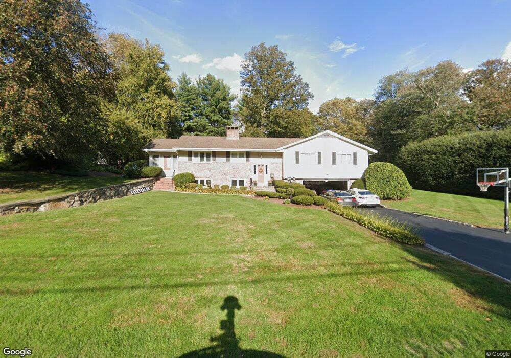
28 Woodside Dr Milton, MA 02186
Milton Center NeighborhoodEstimated Value: $1,333,227 - $1,560,000
3
Beds
3
Baths
2,851
Sq Ft
$503/Sq Ft
Est. Value
About This Home
This home is located at 28 Woodside Dr, Milton, MA 02186 and is currently estimated at $1,433,307, approximately $502 per square foot. 28 Woodside Dr is a home located in Norfolk County with nearby schools including Milton High School, Milton Academy, and Fontbonne Academy.
Ownership History
Date
Name
Owned For
Owner Type
Purchase Details
Closed on
Feb 1, 2018
Sold by
Mobarak Diana M
Bought by
Mobarak Walid B
Current Estimated Value
Purchase Details
Closed on
Jul 1, 2005
Sold by
Collins Thomas L
Bought by
Mobarak Diana and Mobarak Walid B
Home Financials for this Owner
Home Financials are based on the most recent Mortgage that was taken out on this home.
Original Mortgage
$628,000
Interest Rate
5.73%
Mortgage Type
Purchase Money Mortgage
Purchase Details
Closed on
Aug 11, 1995
Sold by
Ruth E Lyons Revoc T
Bought by
Collins Thomas L
Create a Home Valuation Report for This Property
The Home Valuation Report is an in-depth analysis detailing your home's value as well as a comparison with similar homes in the area
Home Values in the Area
Average Home Value in this Area
Purchase History
| Date | Buyer | Sale Price | Title Company |
|---|---|---|---|
| Mobarak Walid B | -- | -- | |
| Mobarak Diana | $785,000 | -- | |
| Collins Thomas L | $270,000 | -- |
Source: Public Records
Mortgage History
| Date | Status | Borrower | Loan Amount |
|---|---|---|---|
| Previous Owner | Collins Thomas L | $417,000 | |
| Previous Owner | Collins Thomas L | $100,000 | |
| Previous Owner | Mobarak Diana | $628,000 | |
| Previous Owner | Collins Thomas L | $240,000 |
Source: Public Records
Tax History
| Year | Tax Paid | Tax Assessment Tax Assessment Total Assessment is a certain percentage of the fair market value that is determined by local assessors to be the total taxable value of land and additions on the property. | Land | Improvement |
|---|---|---|---|---|
| 2025 | $11,845 | $1,068,100 | $635,100 | $433,000 |
| 2024 | $11,430 | $1,046,700 | $604,900 | $441,800 |
| 2023 | $10,797 | $947,100 | $576,100 | $371,000 |
| 2022 | $10,782 | $864,600 | $576,100 | $288,500 |
| 2021 | $10,891 | $829,500 | $554,700 | $274,800 |
| 2020 | $11,013 | $839,400 | $549,400 | $290,000 |
| 2019 | $11,725 | $889,600 | $608,000 | $281,600 |
| 2018 | $11,110 | $804,500 | $528,700 | $275,800 |
| 2017 | $10,391 | $766,300 | $503,500 | $262,800 |
| 2016 | $9,427 | $698,300 | $440,600 | $257,700 |
| 2015 | $8,149 | $584,600 | $335,700 | $248,900 |
Source: Public Records
Map
Nearby Homes
- 341 Highland St
- 6 Brewster Rd
- 403405 Reedsdale Rd
- 97 Pleasant St
- 111-113 Pleasant St
- 161 Sassamon Ave
- 17 Quisset Brook Rd
- 207 Pleasant St
- 40 Dean Rd
- 7 Preacher Rd
- 4 Farmer Rd
- 610 Harland St
- 88 Patricia Dr
- 57 Brierbrook St
- 485 Blue Hills Pkwy Unit 10
- 485 Blue Hills Pkwy Unit 12
- 485 Blue Hills Pkwy Unit 33
- 485 Blue Hills Pkwy Unit 13
- 485 Blue Hills Pkwy Unit 2
- 485 Blue Hills Pkwy Unit 23
Your Personal Tour Guide
Ask me questions while you tour the home.