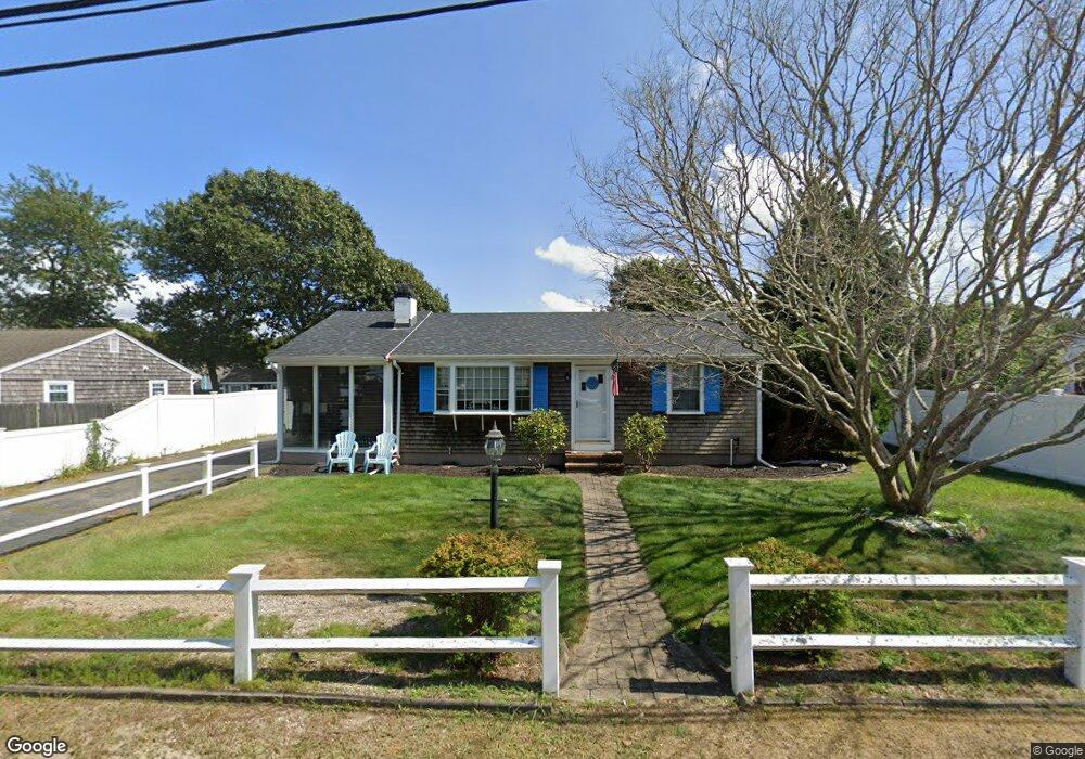
28 Yale Cir Dennis Port, MA 02639
Dennis Port NeighborhoodEstimated Value: $577,000 - $681,000
3
Beds
2
Baths
1,083
Sq Ft
$593/Sq Ft
Est. Value
About This Home
This home is located at 28 Yale Cir, Dennis Port, MA 02639 and is currently estimated at $642,599, approximately $593 per square foot. 28 Yale Cir is a home located in Barnstable County with nearby schools including Dennis-Yarmouth Regional High School and St. Pius X. School.
Ownership History
Date
Name
Owned For
Owner Type
Purchase Details
Closed on
Aug 25, 2014
Sold by
Magill Scott D and Magill Melissa L
Bought by
Magill Scott D
Current Estimated Value
Purchase Details
Closed on
Mar 7, 2011
Sold by
Cassell Frank G and Cassell Melissa L
Bought by
Magill Scott D and Magill Melissa Lynn
Purchase Details
Closed on
May 8, 2008
Sold by
Stonge Jean
Bought by
Cassell Frank G and Cassell Melissa L
Home Financials for this Owner
Home Financials are based on the most recent Mortgage that was taken out on this home.
Original Mortgage
$246,000
Interest Rate
5.93%
Mortgage Type
Purchase Money Mortgage
Purchase Details
Closed on
Mar 20, 2008
Sold by
Showstead Leona H
Bought by
Saint-Onge Jean
Home Financials for this Owner
Home Financials are based on the most recent Mortgage that was taken out on this home.
Original Mortgage
$246,000
Interest Rate
5.93%
Mortgage Type
Purchase Money Mortgage
Create a Home Valuation Report for This Property
The Home Valuation Report is an in-depth analysis detailing your home's value as well as a comparison with similar homes in the area
Home Values in the Area
Average Home Value in this Area
Purchase History
| Date | Buyer | Sale Price | Title Company |
|---|---|---|---|
| Magill Scott D | -- | -- | |
| Magill Scott D | $308,000 | -- | |
| Cassell Frank G | $307,500 | -- | |
| Saint-Onge Jean | -- | -- |
Source: Public Records
Mortgage History
| Date | Status | Borrower | Loan Amount |
|---|---|---|---|
| Previous Owner | Cassell Frank G | $246,000 |
Source: Public Records
Tax History Compared to Growth
Tax History
| Year | Tax Paid | Tax Assessment Tax Assessment Total Assessment is a certain percentage of the fair market value that is determined by local assessors to be the total taxable value of land and additions on the property. | Land | Improvement |
|---|---|---|---|---|
| 2025 | $2,517 | $581,400 | $202,200 | $379,200 |
| 2024 | $2,389 | $544,300 | $194,500 | $349,800 |
| 2023 | $2,312 | $495,000 | $176,800 | $318,200 |
| 2022 | $2,230 | $398,300 | $159,300 | $239,000 |
| 2021 | $2,262 | $375,100 | $178,400 | $196,700 |
| 2020 | $2,042 | $334,700 | $156,100 | $178,600 |
| 2019 | $4,912 | $312,200 | $153,100 | $159,100 |
| 2018 | $2,659 | $292,300 | $145,700 | $146,600 |
| 2017 | $2,533 | $277,300 | $135,300 | $142,000 |
| 2016 | $1,744 | $267,000 | $145,700 | $121,300 |
| 2015 | $1,709 | $267,000 | $145,700 | $121,300 |
| 2014 | $1,563 | $246,200 | $124,900 | $121,300 |
Source: Public Records
Map
Nearby Homes
- 19 Standish Way
- 80 Michaels Ave
- 4 Coffey Ln
- 71 Main St
- 31 Easy St
- 22 Wixon Rd
- 125 Main St Unit 3
- 12 Spoonbill Rd
- 72 Bassett Ln
- 15 Woodside Park Rd
- 268 Main St
- 37 Ocean Dr Unit 2
- 95 Center St
- 61 Trotters Ln
- 26 Center St
- 64 Beaten Rd
- 112 Old Wharf Rd Unit E4
- 112 Old Wharf Rd Unit E1
- 3 Pinefield Ln
- 154 Old Wharf Rd Unit 26