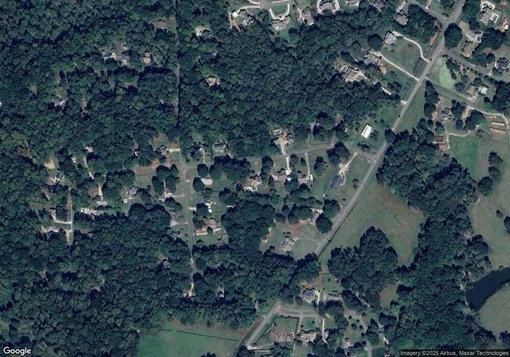
280 Aster Trace Unit 1 Canton, GA 30115
Union Hill NeighborhoodEstimated Value: $510,000 - $665,000
3
Beds
3
Baths
2,574
Sq Ft
$225/Sq Ft
Est. Value
About This Home
This home is located at 280 Aster Trace Unit 1, Canton, GA 30115 and is currently estimated at $579,205, approximately $225 per square foot. 280 Aster Trace Unit 1 is a home located in Cherokee County with nearby schools including Avery Elementary School, Creekland Middle School, and Creekview High School.
Ownership History
Date
Name
Owned For
Owner Type
Purchase Details
Closed on
Apr 29, 1997
Sold by
Frasure Ray A
Bought by
Madden Matthew F and Madden Alisa M
Current Estimated Value
Home Financials for this Owner
Home Financials are based on the most recent Mortgage that was taken out on this home.
Original Mortgage
$117,808
Outstanding Balance
$14,591
Interest Rate
7.98%
Mortgage Type
New Conventional
Estimated Equity
$564,614
Purchase Details
Closed on
Jan 3, 1994
Sold by
Reynolds Leroy E
Bought by
Bank Of Canton
Create a Home Valuation Report for This Property
The Home Valuation Report is an in-depth analysis detailing your home's value as well as a comparison with similar homes in the area
Home Values in the Area
Average Home Value in this Area
Purchase History
| Date | Buyer | Sale Price | Title Company |
|---|---|---|---|
| Madden Matthew F | $124,000 | -- | |
| Bank Of Canton | $91,500 | -- |
Source: Public Records
Mortgage History
| Date | Status | Borrower | Loan Amount |
|---|---|---|---|
| Open | Madden Matthew F | $117,808 |
Source: Public Records
Tax History
| Year | Tax Paid | Tax Assessment Tax Assessment Total Assessment is a certain percentage of the fair market value that is determined by local assessors to be the total taxable value of land and additions on the property. | Land | Improvement |
|---|---|---|---|---|
| 2025 | $978 | $191,948 | $38,800 | $153,148 |
| 2024 | $946 | $180,436 | $36,800 | $143,636 |
| 2023 | $796 | $176,924 | $33,200 | $143,724 |
| 2022 | $3,420 | $143,768 | $26,800 | $116,968 |
| 2021 | $2,962 | $111,696 | $14,400 | $97,296 |
| 2020 | $2,877 | $107,904 | $14,400 | $93,504 |
| 2019 | $2,791 | $104,200 | $14,400 | $89,800 |
| 2018 | $2,748 | $101,800 | $14,400 | $87,400 |
| 2017 | $2,624 | $239,000 | $14,400 | $81,200 |
| 2016 | $2,513 | $224,600 | $14,400 | $75,440 |
| 2015 | $2,188 | $191,800 | $12,000 | $64,720 |
| 2014 | $2,065 | $181,000 | $12,000 | $60,400 |
Source: Public Records
Map
Nearby Homes
- 406 Addie Ln
- 326 Seldom Seen Trail
- 162 Carmichael Dr
- 201 Windflower Ct
- 4882 Sugar Pike Rd
- 454 Carmichael Cir
- 437 Aristides Way
- 409 Aristides Way
- 103 Oak Hill Ct
- 542 Flyingbolt Run
- 487 Carmichael Cir
- 104 American Pharoah Way
- 517 Hayes Ln
- 4317 Sugar Pike Rd
- 124 Long Shadows Dr
- 1510 Batesville Rd
- 1996 Thomas Rd
- 226 Carmichael Dr
- 6000 Union Hill Rd
- 1000 Haddie Way
- 250 Aster Trace
- 1155 Orchid Way
- 301 Aster Trace
- 310 Aster Trace
- 230 Aster Trace
- 1175 Orchid Way
- 1729 Lower Union Hill Rd
- 1731 Lower Union Hill Rd
- 1195 Orchid Way
- 208 Aster Trace
- 221 Aster Trace
- 1140 Orchid Way
- 1217 Orchid Way
- 1105 Orchid Way
- 1180 Orchid Way Unit 1
- 1120 Orchid Way
- 1160 Orchid Way
- 201 Aster Trace
- 1100 Orchid Way
- 1095 Orchid Way Unit 3
Your Personal Tour Guide
Ask me questions while you tour the home.
