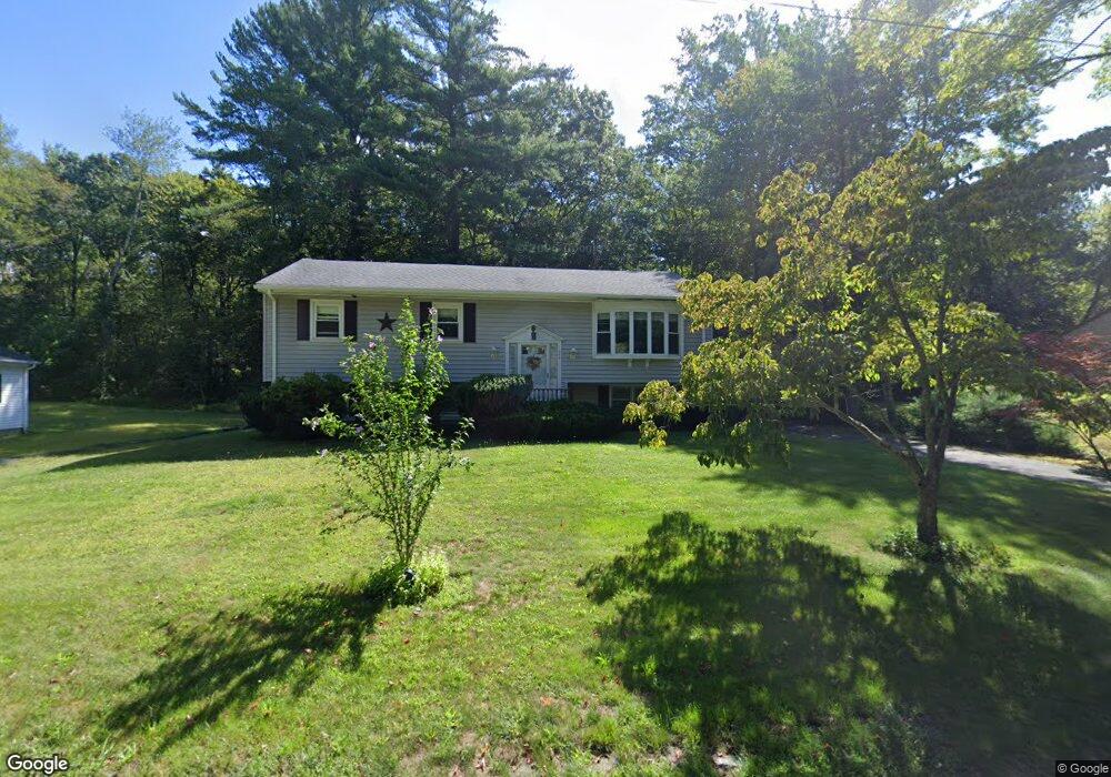
280 Burt St Taunton, MA 02780
Westville NeighborhoodEstimated Value: $454,232 - $483,000
3
Beds
2
Baths
1,156
Sq Ft
$405/Sq Ft
Est. Value
About This Home
This home is located at 280 Burt St, Taunton, MA 02780 and is currently estimated at $468,308, approximately $405 per square foot. 280 Burt St is a home located in Bristol County with nearby schools including Edmund Hatch Bennett School, Benjamin Friedman Middle School, and Taunton High School.
Create a Home Valuation Report for This Property
The Home Valuation Report is an in-depth analysis detailing your home's value as well as a comparison with similar homes in the area
Home Values in the Area
Average Home Value in this Area
Tax History Compared to Growth
Tax History
| Year | Tax Paid | Tax Assessment Tax Assessment Total Assessment is a certain percentage of the fair market value that is determined by local assessors to be the total taxable value of land and additions on the property. | Land | Improvement |
|---|---|---|---|---|
| 2025 | $4,177 | $381,800 | $118,500 | $263,300 |
| 2024 | $3,697 | $330,400 | $118,500 | $211,900 |
| 2023 | $3,831 | $317,900 | $118,500 | $199,400 |
| 2022 | $3,684 | $279,500 | $98,700 | $180,800 |
| 2021 | $3,478 | $244,900 | $89,700 | $155,200 |
| 2020 | $3,403 | $229,000 | $89,700 | $139,300 |
| 2019 | $3,474 | $220,400 | $89,700 | $130,700 |
| 2018 | $3,317 | $211,000 | $90,700 | $120,300 |
| 2017 | $3,107 | $197,800 | $85,900 | $111,900 |
| 2016 | $2,996 | $191,100 | $83,400 | $107,700 |
| 2015 | $2,846 | $189,600 | $81,000 | $108,600 |
| 2014 | $2,750 | $188,200 | $81,000 | $107,200 |
Source: Public Records
Map
Nearby Homes
- 837 Glebe St
- 70 Forest Hill Dr
- 1120 Glebe St
- 0 Kimberly Rd
- 165 Andrea Ln
- 805 Burt St
- 852 Burt St
- 0 Tremont St Unit 73249875
- 14 Tremont St
- 470 Hodges St
- Lot 6 Tremont St
- 10 1/2 Worcester St
- 701 Winthrop St Unit 312
- 701 Winthrop St Unit 313
- 1 Round Farm Rd
- 52 Round Farm Rd
- 48 Round Farm Rd
- 166 Alfred Lord Blvd
- 0 Range Ave Unit 72771508
- 0 Range Ave Unit 72771509