280 Depot St Dunstable, MA 01827
Estimated Value: $858,371 - $1,008,000
3
Beds
3
Baths
2,722
Sq Ft
$331/Sq Ft
Est. Value
About This Home
This home is located at 280 Depot St, Dunstable, MA 01827 and is currently estimated at $901,093, approximately $331 per square foot. 280 Depot St is a home located in Middlesex County with nearby schools including Groton Dunstable Regional High School.
Ownership History
Date
Name
Owned For
Owner Type
Purchase Details
Closed on
Mar 26, 2008
Sold by
Sokolowski Joanne L and Mikol Joanne
Bought by
Mikol Joanne
Current Estimated Value
Home Financials for this Owner
Home Financials are based on the most recent Mortgage that was taken out on this home.
Original Mortgage
$330,000
Interest Rate
5.76%
Mortgage Type
Purchase Money Mortgage
Purchase Details
Closed on
Jan 15, 2004
Sold by
Hogan Gary W
Bought by
Sokolowski Joanne L
Home Financials for this Owner
Home Financials are based on the most recent Mortgage that was taken out on this home.
Original Mortgage
$280,000
Interest Rate
5.98%
Mortgage Type
Purchase Money Mortgage
Purchase Details
Closed on
Jul 31, 1997
Sold by
Tully Kenneth A
Bought by
Hogan Gary W and Hogan Karen
Create a Home Valuation Report for This Property
The Home Valuation Report is an in-depth analysis detailing your home's value as well as a comparison with similar homes in the area
Home Values in the Area
Average Home Value in this Area
Purchase History
| Date | Buyer | Sale Price | Title Company |
|---|---|---|---|
| Mikol Joanne | $397,000 | -- | |
| Sokolowski Joanne L | $397,000 | -- | |
| Hogan Gary W | $249,000 | -- |
Source: Public Records
Mortgage History
| Date | Status | Borrower | Loan Amount |
|---|---|---|---|
| Open | Hogan Gary W | $306,000 | |
| Closed | Mikol Joanne | $330,000 | |
| Previous Owner | Sokolowski Joanne L | $280,000 | |
| Previous Owner | Hogan Gary W | $60,000 | |
| Previous Owner | Hogan Gary W | $33,000 |
Source: Public Records
Tax History Compared to Growth
Tax History
| Year | Tax Paid | Tax Assessment Tax Assessment Total Assessment is a certain percentage of the fair market value that is determined by local assessors to be the total taxable value of land and additions on the property. | Land | Improvement |
|---|---|---|---|---|
| 2025 | $10,406 | $756,800 | $244,600 | $512,200 |
| 2024 | $10,014 | $717,300 | $230,800 | $486,500 |
| 2023 | $9,958 | $665,200 | $230,800 | $434,400 |
| 2022 | $9,152 | $600,100 | $230,800 | $369,300 |
| 2021 | $9,009 | $549,000 | $207,700 | $341,300 |
| 2020 | $9,008 | $534,900 | $207,700 | $327,200 |
| 2019 | $8,796 | $515,600 | $207,700 | $307,900 |
| 2018 | $8,579 | $489,100 | $204,000 | $285,100 |
| 2017 | $8,205 | $482,100 | $204,000 | $278,100 |
| 2016 | $7,987 | $482,600 | $204,000 | $278,600 |
| 2015 | $7,741 | $462,700 | $173,000 | $289,700 |
| 2014 | $7,297 | $462,700 | $173,000 | $289,700 |
Source: Public Records
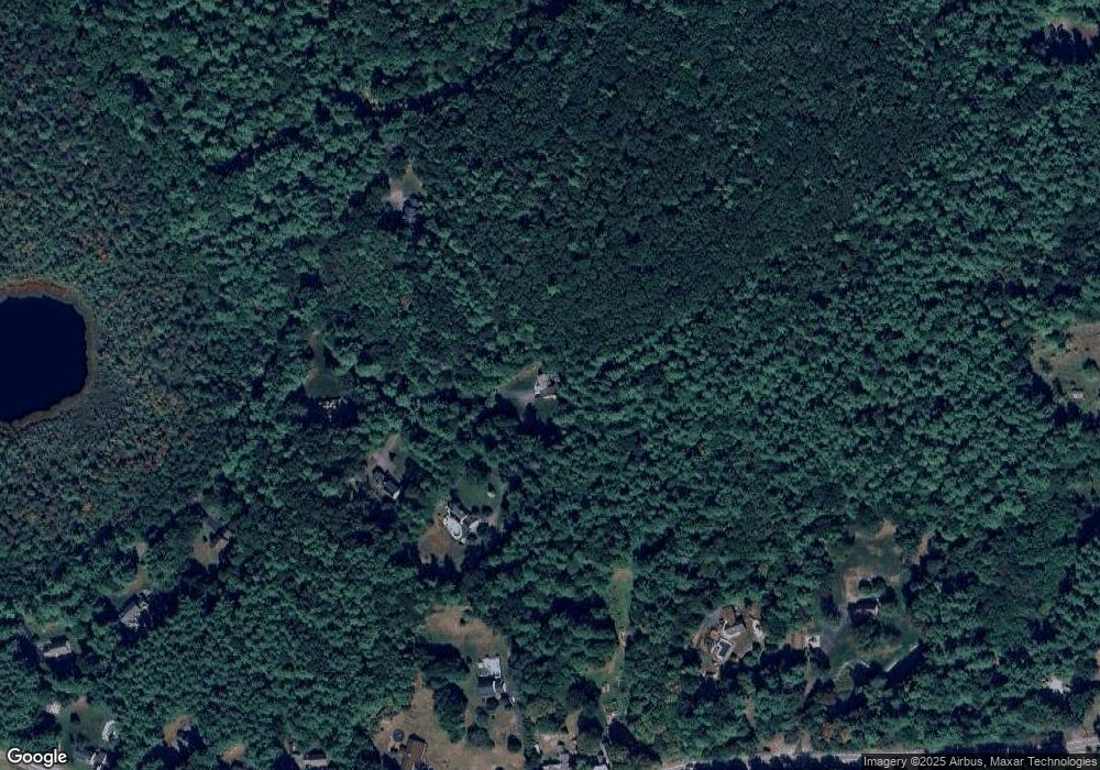
Map
Nearby Homes
- 319 Pleasant St
- 153 Off Pond St
- 91 Century Way
- 24 Unkety Brook Way
- 5 June St
- 660 Old Dunstable Rd
- 208 North St
- 473 High St
- 446 Westford St
- 121 Cherrywood Dr
- 41 Pinebrook Rd
- 67 Groton Rd Unit B
- 0 Lowell St
- 5 Doucet Ave
- 1 Doucet Ave
- 63 Wilderness Dr Unit Derby 2
- 7 Wilderness Dr
- 2 Wilderness Dr
- 58 Wilderness Dr
- 1 Wilderness Dr
- 290 Depot St
- 302 Depot St
- 300 Depot St
- 270 Depot St
- 393 Pleasant St
- 423 Pleasant St
- 306 Depot St
- 375 Pleasant St
- 433 Pleasant St
- 411 Pleasant St
- 411 Pleasant St Unit rear
- 443 Pleasant St
- 314 Depot St
- 473 Pleasant St
- 461 Pleasant St
- 436 Pleasant St
- 485 Pleasant St
- 322 Depot St
- Lot 1A Depot St
- 460 Pleasant St