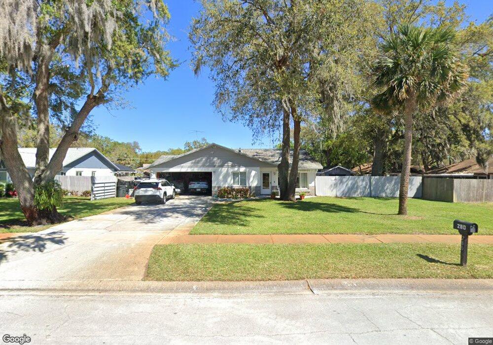
280 Devon St Port Orange, FL 32127
Broken Bow Estates NeighborhoodEstimated Value: $273,000 - $301,000
2
Beds
2
Baths
1,385
Sq Ft
$206/Sq Ft
Est. Value
About This Home
This home is located at 280 Devon St, Port Orange, FL 32127 and is currently estimated at $284,842, approximately $205 per square foot. 280 Devon St is a home located in Volusia County with nearby schools including Spruce Creek Elementary School, Creekside Middle School, and Spruce Creek High School.
Ownership History
Date
Name
Owned For
Owner Type
Purchase Details
Closed on
Apr 15, 1990
Bought by
Neal George A and Neal Jan G
Current Estimated Value
Purchase Details
Closed on
Jan 15, 1989
Bought by
Neal George A and Neal Jan G
Purchase Details
Closed on
Aug 15, 1988
Bought by
Neal George A and Neal Jan G
Purchase Details
Closed on
Apr 15, 1986
Bought by
Neal George A and Neal Jan G
Purchase Details
Closed on
Jan 15, 1986
Bought by
Neal George A and Neal Jan G
Purchase Details
Closed on
Jan 15, 1985
Bought by
Neal George A and Neal Jan G
Create a Home Valuation Report for This Property
The Home Valuation Report is an in-depth analysis detailing your home's value as well as a comparison with similar homes in the area
Home Values in the Area
Average Home Value in this Area
Purchase History
| Date | Buyer | Sale Price | Title Company |
|---|---|---|---|
| Neal George A | $66,000 | -- | |
| Neal George A | $59,700 | -- | |
| Neal George A | $100 | -- | |
| Neal George A | $59,000 | -- | |
| Neal George A | $67,000 | -- | |
| Neal George A | $59,500 | -- |
Source: Public Records
Tax History
| Year | Tax Paid | Tax Assessment Tax Assessment Total Assessment is a certain percentage of the fair market value that is determined by local assessors to be the total taxable value of land and additions on the property. | Land | Improvement |
|---|---|---|---|---|
| 2026 | $1,372 | $113,581 | -- | -- |
| 2025 | $1,372 | $113,581 | -- | -- |
| 2024 | $1,266 | $110,380 | -- | -- |
| 2023 | $1,266 | $107,166 | $0 | $0 |
| 2022 | $1,204 | $104,045 | $0 | $0 |
| 2021 | $1,214 | $101,015 | $0 | $0 |
| 2020 | $1,180 | $99,620 | $0 | $0 |
| 2019 | $1,135 | $97,380 | $0 | $0 |
| 2018 | $1,127 | $95,564 | $0 | $0 |
| 2017 | $1,121 | $93,598 | $0 | $0 |
| 2016 | $1,107 | $91,673 | $0 | $0 |
| 2015 | $1,135 | $91,036 | $0 | $0 |
| 2014 | $1,135 | $90,313 | $0 | $0 |
Source: Public Records
Map
Nearby Homes
- 364 Bent Oak Dr
- 109 Wimbledon Ct
- 601 English Oaks Dr
- 612 Devon St
- 105 Wimbledon Ct
- 724 Hillville Dr
- 600 English Oaks Dr
- 253 N Brighton Dr
- 48 Timber Trail
- 748 Merrimac Dr
- 5931 Broken Bow Ln
- 905 Whiporwill Dr
- 208 Devon St
- 216 Brittany Ave
- 849 Whiporwill Dr
- 490 Woodstock Dr
- 629 Hills Blvd
- 741 Barrows Dairy Rd
- 720 English Oaks Dr
- 722 English Oaks Dr
- 276 Devon St
- 584 Hamlet Dr
- 129 Wimbledon Ct Unit V
- 601 Forest Troll Dr
- 272 Devon St
- 600 Hamlet Dr
- 127 Wimbledon Ct
- 576 Hamlet Dr
- 131 Wimbledon Ct
- 605 Forest Troll Dr
- 273 Devon St
- 604 Hamlet Dr
- 268 Devon St
- 600 Devon St
- 125 Wimbledon Ct
- 501 Legume Dr
- 572 Hamlet Dr
- 609 Forest Troll Dr
- 601 Devon St
- 133 Wimbledon Ct
Your Personal Tour Guide
Ask me questions while you tour the home.