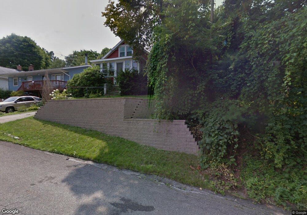
280 E Huston St Barberton, OH 44203
East Barberton NeighborhoodEstimated Value: $88,000 - $103,000
1
Bed
1
Bath
710
Sq Ft
$135/Sq Ft
Est. Value
About This Home
This home is located at 280 E Huston St, Barberton, OH 44203 and is currently estimated at $95,867, approximately $135 per square foot. 280 E Huston St is a home located in Summit County with nearby schools including Barberton Intermediate School 3-5, Barberton Middle School, and Barberton High School.
Ownership History
Date
Name
Owned For
Owner Type
Purchase Details
Closed on
Jul 2, 2010
Sold by
August Kurt P and August Valerie
Bought by
August Kurt P and August Valerie
Current Estimated Value
Purchase Details
Closed on
Oct 9, 2009
Sold by
Michael Bessie and Michael Vaso
Bought by
August Kurt P
Create a Home Valuation Report for This Property
The Home Valuation Report is an in-depth analysis detailing your home's value as well as a comparison with similar homes in the area
Home Values in the Area
Average Home Value in this Area
Purchase History
| Date | Buyer | Sale Price | Title Company |
|---|---|---|---|
| August Kurt P | -- | Attorney | |
| August Kurt P | $20,000 | Attorney |
Source: Public Records
Tax History
| Year | Tax Paid | Tax Assessment Tax Assessment Total Assessment is a certain percentage of the fair market value that is determined by local assessors to be the total taxable value of land and additions on the property. | Land | Improvement |
|---|---|---|---|---|
| 2024 | $1,627 | $31,696 | $10,220 | $21,476 |
| 2023 | $1,627 | $31,696 | $10,220 | $21,476 |
| 2022 | $1,313 | $22,176 | $6,951 | $15,225 |
| 2021 | $1,311 | $22,176 | $6,951 | $15,225 |
| 2020 | $1,284 | $22,180 | $6,950 | $15,230 |
| 2019 | $1,085 | $16,980 | $6,830 | $10,150 |
| 2018 | $1,069 | $16,980 | $6,830 | $10,150 |
| 2017 | $1,083 | $16,980 | $6,830 | $10,150 |
| 2016 | $1,086 | $16,980 | $6,830 | $10,150 |
| 2015 | $1,083 | $16,980 | $6,830 | $10,150 |
| 2014 | $567 | $8,930 | $6,830 | $2,100 |
| 2013 | $599 | $9,790 | $6,830 | $2,960 |
Source: Public Records
Map
Nearby Homes
- 349 E Hopocan Ave
- 332 Lincoln Ave
- 175 2nd St NE Unit 177
- 46 Brown St
- 526 Wooster Rd N
- 304 E Tuscarawas Ave
- 279 E Baird Ave
- 492 E Hopocan Ave
- 613 Wooster Rd N
- 485 Lloyd St
- 194 E Baird Ave
- 341 6th St NE
- 298 E Ford Ave
- 0 Wooster Rd N
- 524 Jefferson Ave
- 337 Lucas St
- 491 Taft Ave
- 240 1st St NW
- 217 W Summit St
- 507 E Ford Ave
- 284 E Huston St
- 290 E Huston St
- 294 E Huston St
- 269 2nd St NE Unit 10
- 269 2nd St NE Unit 7
- 269 2nd St NE Unit 1
- 269 2nd St NE Unit 6
- 269 2nd St NE Unit 8
- 269 2nd St NE Unit 9
- 269 2nd St NE
- 269 2nd St NE Unit 5
- 269 2nd St NE Unit 12
- 269 2nd St NE Unit 11
- 269 2nd St NE Unit 4
- 269 2nd St NE Unit 3
- 279 E Huston St Unit 281
- 300 E Huston St
- 283 E Hopocan Ave
- 279 E Hopocan Ave
- 291 E Huston St
Your Personal Tour Guide
Ask me questions while you tour the home.