280 Edge Rd Cedartown, GA 30125
Estimated Value: $207,000 - $328,000
3
Beds
2
Baths
1,426
Sq Ft
$177/Sq Ft
Est. Value
About This Home
This home is located at 280 Edge Rd, Cedartown, GA 30125 and is currently estimated at $251,929, approximately $176 per square foot. 280 Edge Rd is a home located in Polk County.
Ownership History
Date
Name
Owned For
Owner Type
Purchase Details
Closed on
Mar 28, 2008
Sold by
Edge James V
Bought by
Edge James and Edge Frances F
Current Estimated Value
Purchase Details
Closed on
Jun 15, 1999
Sold by
Taylor Edna Edge
Bought by
Edge James V and Edge Frances
Purchase Details
Closed on
Aug 14, 1996
Sold by
Smith James Harold and Smith Anne E
Bought by
Taylor Edna Edge
Purchase Details
Closed on
Mar 17, 1982
Sold by
Mcwhorter Hugh L
Bought by
Taylor Edna
Purchase Details
Closed on
Nov 27, 1979
Sold by
Edge J Newton
Bought by
Mcwhorter Hugh L
Purchase Details
Closed on
Dec 28, 1977
Sold by
Edge J Newton
Bought by
Edge J Newton
Purchase Details
Closed on
Mar 12, 1963
Sold by
Schneider Adam
Bought by
Edge J Newton
Purchase Details
Closed on
May 15, 1961
Bought by
Schneider Adam
Create a Home Valuation Report for This Property
The Home Valuation Report is an in-depth analysis detailing your home's value as well as a comparison with similar homes in the area
Purchase History
| Date | Buyer | Sale Price | Title Company |
|---|---|---|---|
| Edge James | -- | -- | |
| Edge James V | $50,000 | -- | |
| Taylor Edna Edge | -- | -- | |
| Taylor Edna | -- | -- | |
| Mcwhorter Hugh L | -- | -- | |
| Edge J Newton | -- | -- | |
| Edge J Newton | -- | -- | |
| Schneider Adam | -- | -- |
Source: Public Records
Tax History
| Year | Tax Paid | Tax Assessment Tax Assessment Total Assessment is a certain percentage of the fair market value that is determined by local assessors to be the total taxable value of land and additions on the property. | Land | Improvement |
|---|---|---|---|---|
| 2025 | $1,273 | $62,885 | $6,728 | $56,157 |
| 2024 | $1,273 | $60,917 | $4,760 | $56,157 |
| 2023 | $956 | $40,277 | $4,760 | $35,517 |
| 2022 | $796 | $33,531 | $3,174 | $30,357 |
| 2021 | $806 | $33,531 | $3,174 | $30,357 |
| 2020 | $808 | $33,531 | $3,174 | $30,357 |
| 2019 | $760 | $28,301 | $3,174 | $25,127 |
| 2018 | $593 | $21,526 | $3,174 | $18,352 |
| 2017 | $586 | $21,526 | $3,174 | $18,352 |
| 2016 | $607 | $22,322 | $3,969 | $18,352 |
| 2015 | $612 | $22,439 | $3,969 | $18,470 |
| 2014 | $617 | $22,439 | $3,969 | $18,470 |
Source: Public Records
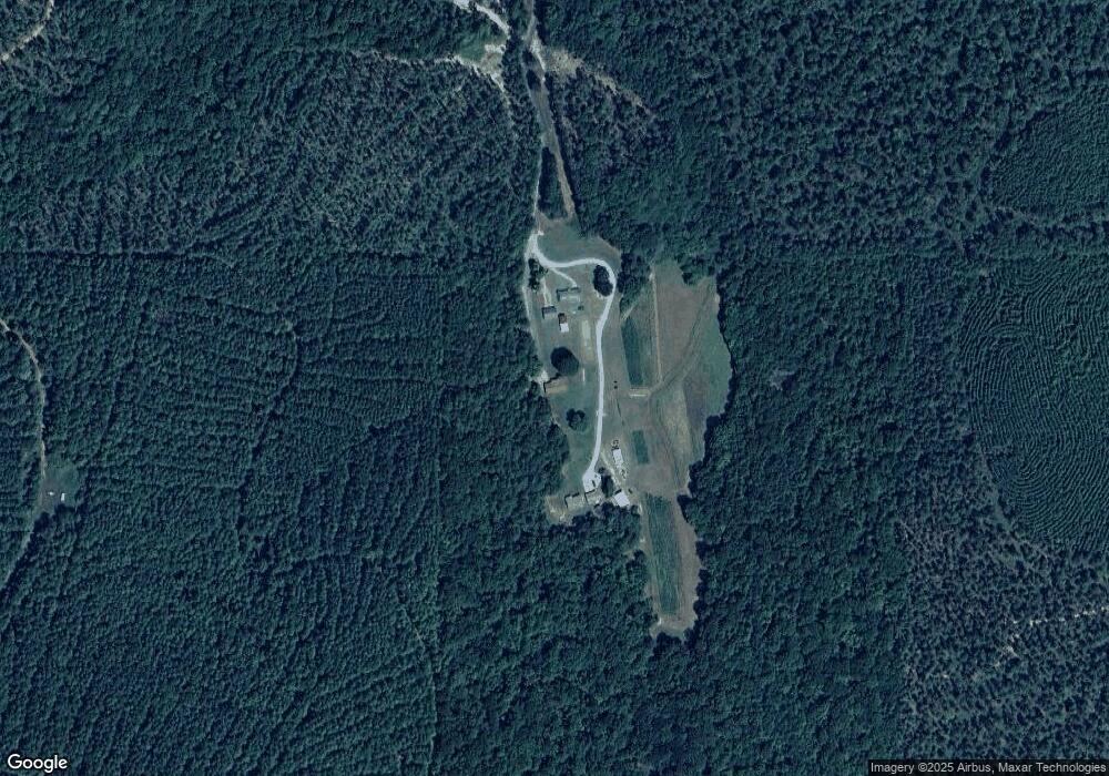
Map
Nearby Homes
- 75 Weaver Rd
- 1849 Prior Station Rd Unit 77.57 ACRES
- 1849 Prior Station Rd
- 0 Santa Claus Rd Unit 7706526
- 0 Santa Claus Rd Unit 10676218
- 3472 Prior Station Rd
- 1343 Prior Station Rd
- 1544 Dry Creek Rd
- 0 Mountain Home Rd Unit 1020-B 10351940
- 0 Mountain Home Rd Unit 1020-C 10351948
- 0 Mountain Home Rd Unit 1020-A 10351930
- 35 Harris Loop
- 1481 Potash Rd
- 0 Prior Station Rd Unit 25352786
- 0 Prior Station Rd Unit LotWP001 21901671
- 354 Michael Blvd
- 907 Gadsden Rd SW
- 387 Michael Blvd
- 516 Branch Rd
- 512 Branch Rd
Your Personal Tour Guide
Ask me questions while you tour the home.